
| Memorials | : | 0 |
| Location | : | Ewing Township, Franklin County, USA |
| Coordinate | : | 38.1217720, -88.8608430 |
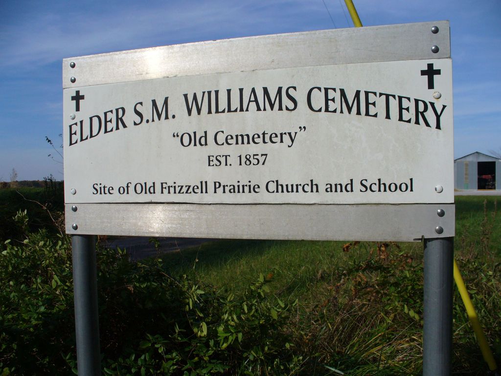
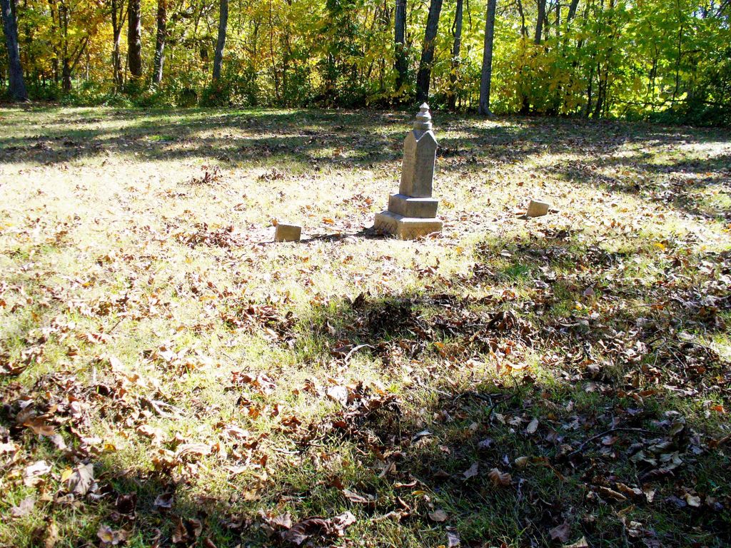
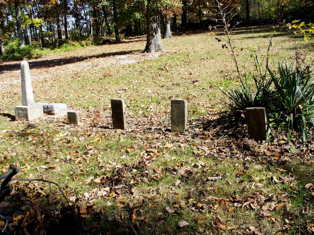
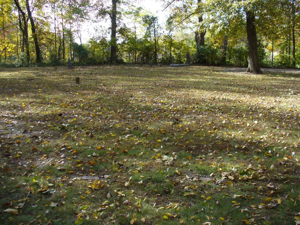
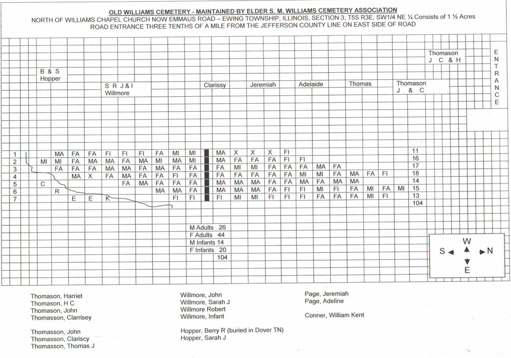
| Description | : | Old Williams Cemetery, previously known as Frizzell’s Prairie and site of Frizzell’s Prairie Church and School. Located approximately one-quarter of a mile south of the Jefferson - Franklin County line on road 1550E and today is known as Chapel Church Road not to be confused with Williams Chapel Church Road which runs East & West. This cemetery is maintained by The Elder S. M. Williams Cemetery Association. There are approximately 15 extant tombstones and many unmarked and unknown graves. The cemetery is located in Ewing Township, Section 3, Township 5S Range 3E in SW1/4 NE1/4. |
frequently asked questions (FAQ):
-
Where is Old Williams Cemetery?
Old Williams Cemetery is located at Chapel Church Road Ewing Township, Franklin County ,Illinois , 62837USA.
-
Old Williams Cemetery cemetery's updated grave count on graveviews.com?
0 memorials
-
Where are the coordinates of the Old Williams Cemetery?
Latitude: 38.1217720
Longitude: -88.8608430
Nearby Cemetories:
1. Elder S.M. Williams Cemetery
Ewing, Franklin County, USA
Coordinate: 38.1178400, -88.8652600
2. Hope Cemetery
Spring Garden, Jefferson County, USA
Coordinate: 38.1413994, -88.8341980
3. Thurmond Cemetery
Franklin County, USA
Coordinate: 38.1114006, -88.8210983
4. Ewing Cemetery
Ewing, Franklin County, USA
Coordinate: 38.0819016, -88.8672028
5. Fitzgerrell Cemetery
Ina, Jefferson County, USA
Coordinate: 38.1622009, -88.8711014
6. Ewing Mennonite Church Cemetery
Ewing, Franklin County, USA
Coordinate: 38.0897660, -88.8145280
7. Carroll Cemetery
Spring Garden, Jefferson County, USA
Coordinate: 38.1713982, -88.8628006
8. Winemiller Cemetery
Franklin County, USA
Coordinate: 38.0839005, -88.9028015
9. McKinney Cemetery
Spring Garden, Jefferson County, USA
Coordinate: 38.1717800, -88.8458300
10. Cypher Cemetery
Franklin County, USA
Coordinate: 38.0811005, -88.9060974
11. Shiloh Cemetery
Ewing, Franklin County, USA
Coordinate: 38.0713997, -88.8880997
12. Kirk Cemetery
Ina, Jefferson County, USA
Coordinate: 38.1660995, -88.9028015
13. Knowles Cemetery
Bonnie, Jefferson County, USA
Coordinate: 38.1789017, -88.8707962
14. Knowles Cemetery
Spring Garden Township, Jefferson County, USA
Coordinate: 38.1790641, -88.8714817
15. Taylor Cemetery
Franklin County, USA
Coordinate: 38.0862045, -88.7962265
16. Phillips Cemetery
Ewing, Franklin County, USA
Coordinate: 38.0536003, -88.8214035
17. Cochrane Cemetery
Spring Garden, Jefferson County, USA
Coordinate: 38.1755900, -88.7934400
18. Middle Fork Cemetery
Ewing, Franklin County, USA
Coordinate: 38.0821991, -88.7782974
19. Bettis Cemetery
Benton, Franklin County, USA
Coordinate: 38.0511130, -88.8974850
20. Grothoff Cemetery
Belle Rive, Jefferson County, USA
Coordinate: 38.1879200, -88.8076100
21. Overturf Cemetery
Ewing Township, Franklin County, USA
Coordinate: 38.0430984, -88.8347015
22. Round Knoll Cemetery
Bonnie, Jefferson County, USA
Coordinate: 38.2047900, -88.8531200
23. Miller Cemetery
Ewing, Franklin County, USA
Coordinate: 38.0377998, -88.8358002
24. Liberty-Ridlin Cemetery
Macedonia, Franklin County, USA
Coordinate: 38.0730000, -88.7690000