
| Memorials | : | 2 |
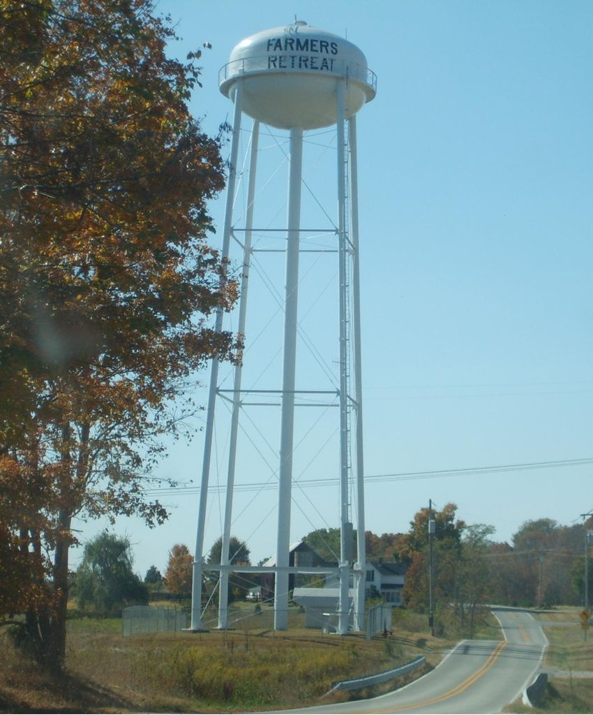
| Location | : | Farmers Retreat, Dearborn County, USA |
| Coordinate | : | 38.9697189, -85.1026993 |
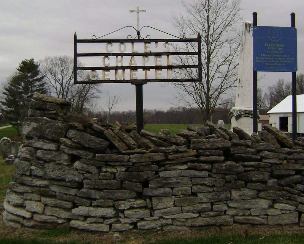
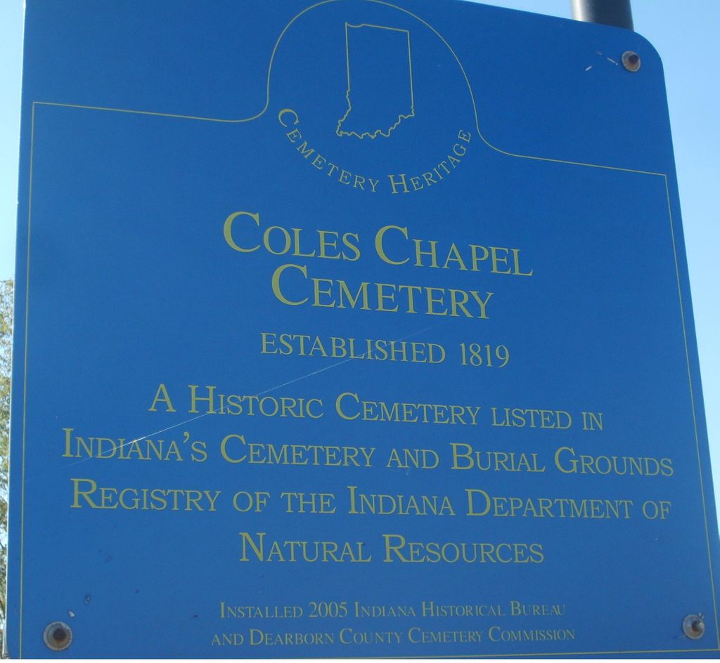
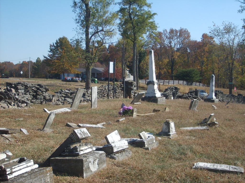
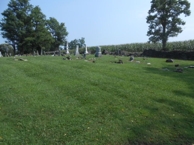
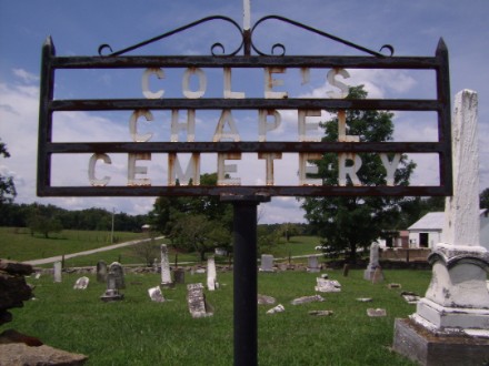
| Description | : | The cemetery is located in Caesar Creek Township (NE quadrant of the SW quadrant of the NE quadrat of Section 33 Township 5N Range 3W) on the northwest corner of Cutter Road and Bells Branch Road. Indiana Cemetery Locations, Volume 2, published by the Indiana Genealogical Society (01 April 2006), gives the primary cemetery name as Coles Chapel Cemetery. The cemetery is listed in the Cemetery and Burial Grounds Registry of the Indiana Department of Natural Resources (DNR) and in the State Historical Architectural and Archaeological Research Database (SHAARD) with Cemetery Record Number CR-15-1 (Cole’s Chapel). |
frequently asked questions (FAQ):
-
Where is Coles Chapel Cemetery?
Coles Chapel Cemetery is located at Cutter Road and Bells Branch Road Farmers Retreat, Dearborn County ,Indiana ,USA.
-
Coles Chapel Cemetery cemetery's updated grave count on graveviews.com?
2 memorials
-
Where are the coordinates of the Coles Chapel Cemetery?
Latitude: 38.9697189
Longitude: -85.1026993
Nearby Cemetories:
1. Saint Johns Lutheran Cemetery
Farmers Retreat, Dearborn County, USA
Coordinate: 38.9692860, -85.0989280
2. Saint Paul Church Cemetery
Farmers Retreat, Dearborn County, USA
Coordinate: 38.9740982, -85.0844498
3. Bear Creek Cemetery
Ohio County, USA
Coordinate: 38.9530983, -85.1149979
4. Watts Cemetery
Downey Corner, Ohio County, USA
Coordinate: 38.9530520, -85.1150230
5. Henry Pate Family Cemetery
Farmers Retreat, Dearborn County, USA
Coordinate: 38.9456170, -85.0913210
6. Rand Cemetery
Dearborn County, USA
Coordinate: 38.9424840, -85.1038290
7. McGuire Family Cemetery
Farmers Retreat, Dearborn County, USA
Coordinate: 38.9435560, -85.1160620
8. Charles Byrd Pate Gravesite
Farmers Retreat, Dearborn County, USA
Coordinate: 38.9503600, -85.0753100
9. Wilson Cemetery
Ripley County, USA
Coordinate: 38.9606018, -85.1427994
10. Akers and Friendship Cemetery
Friendship, Ripley County, USA
Coordinate: 38.9757210, -85.1492880
11. Mount Hebron Cemetery
Farmers Retreat, Dearborn County, USA
Coordinate: 38.9496994, -85.0616989
12. Pate Cemetery
Bear Branch, Ohio County, USA
Coordinate: 38.9392014, -85.0717010
13. Spangler Cemetery
Dillsboro, Dearborn County, USA
Coordinate: 39.0031013, -85.0725021
14. Saint Paul Lutheran Cemetery
Dewberry, Ripley County, USA
Coordinate: 38.9495316, -85.1501694
15. Saint Peter's Lutheran Church Cemetery
Bear Branch, Ohio County, USA
Coordinate: 38.9318680, -85.0709980
16. Connell Cemetery
Ripley County, USA
Coordinate: 38.9850006, -85.1616974
17. French Cemetery
Bear Branch, Ohio County, USA
Coordinate: 38.9260440, -85.0734410
18. Bear Creek Lutheran Cemetery
Switzerland County, USA
Coordinate: 38.9285340, -85.1379110
19. Marker-Althoff Cemetery
Ohio County, USA
Coordinate: 38.9241982, -85.0718994
20. Gilliland Cemetery
Cross Plains, Ripley County, USA
Coordinate: 38.9512660, -85.1661870
21. Saint Peters Evangelical Lutheran Cemetery
Friendship, Ripley County, USA
Coordinate: 38.9985500, -85.1598500
22. Arford Cemetery
Cross Plains, Ripley County, USA
Coordinate: 38.9505005, -85.1674576
23. Cooper Cemetery
Bear Branch, Ohio County, USA
Coordinate: 38.9096940, -85.0988560
24. Britton Family Cemetery
Dillsboro, Dearborn County, USA
Coordinate: 39.0001000, -85.0321100