
| Memorials | : | 0 |
| Location | : | Friendship, Ripley County, USA |
| Coordinate | : | 38.9757210, -85.1492880 |
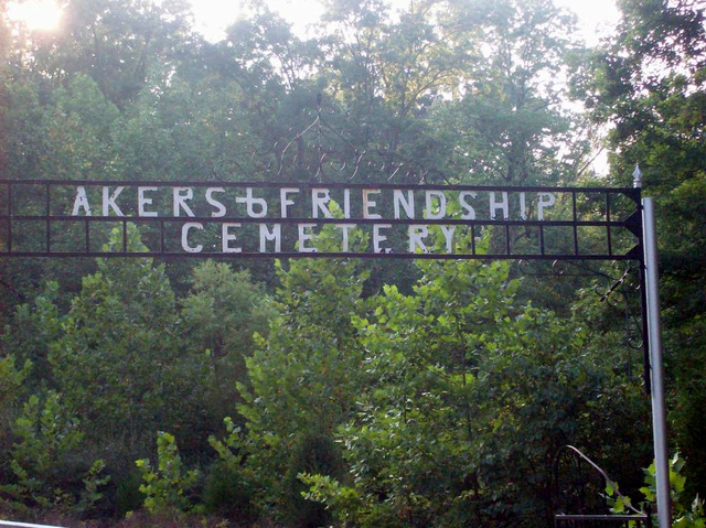
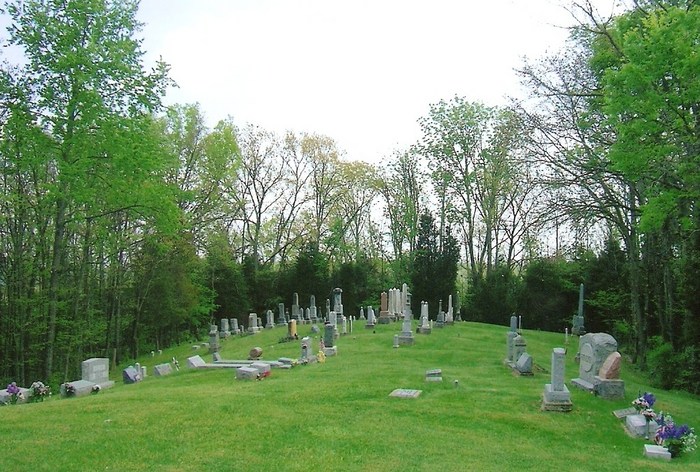
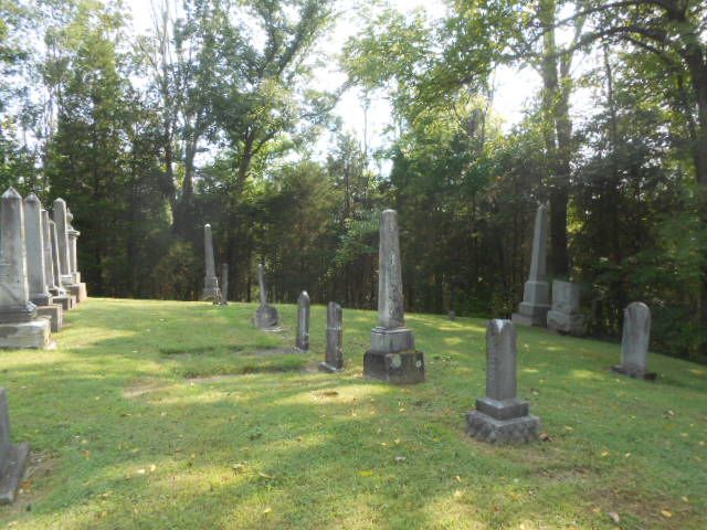
| Description | : | This cemetery was built on land donated by the Akers Family to Bear Creek Baptist Church of Friendship, Indiana for the purpose of being a cemetery for the community. The cemetery is located in Brown Township (SE quadrant of the SE quadrant of the SE quadrant of Section 11 Township 6N Range 12E) about 500 feet west of S Friendship Road about 0.4 miles north of its intersection with Main Street (Indiana State Highway 62). Indiana Cemetery Locations, Volume 2, published by the Indiana Genealogical Society (01 April 2006), gives the primary cemetery name as Akers Cemetery... Read More |
frequently asked questions (FAQ):
-
Where is Akers and Friendship Cemetery?
Akers and Friendship Cemetery is located at S Friendship Road Friendship, Ripley County ,Indiana , 47042USA.
-
Akers and Friendship Cemetery cemetery's updated grave count on graveviews.com?
0 memorials
-
Where are the coordinates of the Akers and Friendship Cemetery?
Latitude: 38.9757210
Longitude: -85.1492880
Nearby Cemetories:
1. Connell Cemetery
Ripley County, USA
Coordinate: 38.9850006, -85.1616974
2. Wilson Cemetery
Ripley County, USA
Coordinate: 38.9606018, -85.1427994
3. Saint Peters Evangelical Lutheran Cemetery
Friendship, Ripley County, USA
Coordinate: 38.9985500, -85.1598500
4. Saint Paul Lutheran Cemetery
Dewberry, Ripley County, USA
Coordinate: 38.9495316, -85.1501694
5. Gilliland Cemetery
Cross Plains, Ripley County, USA
Coordinate: 38.9512660, -85.1661870
6. Obendorf Family Cemetery
Cross Plains, Ripley County, USA
Coordinate: 38.9777000, -85.1853000
7. Arford Cemetery
Cross Plains, Ripley County, USA
Coordinate: 38.9505005, -85.1674576
8. Bear Creek Cemetery
Ohio County, USA
Coordinate: 38.9530983, -85.1149979
9. Watts Cemetery
Downey Corner, Ohio County, USA
Coordinate: 38.9530520, -85.1150230
10. Henschen Farm Cemetery
Friendship, Ripley County, USA
Coordinate: 39.0088870, -85.1670570
11. Coles Chapel Cemetery
Farmers Retreat, Dearborn County, USA
Coordinate: 38.9697189, -85.1026993
12. Saint Johns Lutheran Cemetery
Farmers Retreat, Dearborn County, USA
Coordinate: 38.9692860, -85.0989280
13. McGuire Family Cemetery
Farmers Retreat, Dearborn County, USA
Coordinate: 38.9435560, -85.1160620
14. Bartlett Family Cemetery
Washington Township, Ripley County, USA
Coordinate: 39.0165300, -85.1718300
15. Blair Cemetery
Ripley County, USA
Coordinate: 39.0044240, -85.1936050
16. Bear Creek Lutheran Cemetery
Switzerland County, USA
Coordinate: 38.9285340, -85.1379110
17. Rand Cemetery
Dearborn County, USA
Coordinate: 38.9424840, -85.1038290
18. Cross Plains Baptist Church Cemetery
Cross Plains, Ripley County, USA
Coordinate: 38.9430800, -85.1974000
19. Weakman Family Cemetery
Olean, Ripley County, USA
Coordinate: 38.9767010, -85.2140500
20. Saint Paul Church Cemetery
Farmers Retreat, Dearborn County, USA
Coordinate: 38.9740982, -85.0844498
21. Ellerman Cemetery
Ripley County, USA
Coordinate: 38.9765000, -85.2143000
22. Cross Plains Methodist Church Cemetery
Cross Plains, Ripley County, USA
Coordinate: 38.9458130, -85.2051280
23. Saint Peters Cemetery
Olean, Ripley County, USA
Coordinate: 38.9902000, -85.2149887
24. Henry Pate Family Cemetery
Farmers Retreat, Dearborn County, USA
Coordinate: 38.9456170, -85.0913210