
| Memorials | : | 0 |
| Location | : | Fairhaven, Bristol County, USA |
| Coordinate | : | 41.6465200, -70.9104600 |
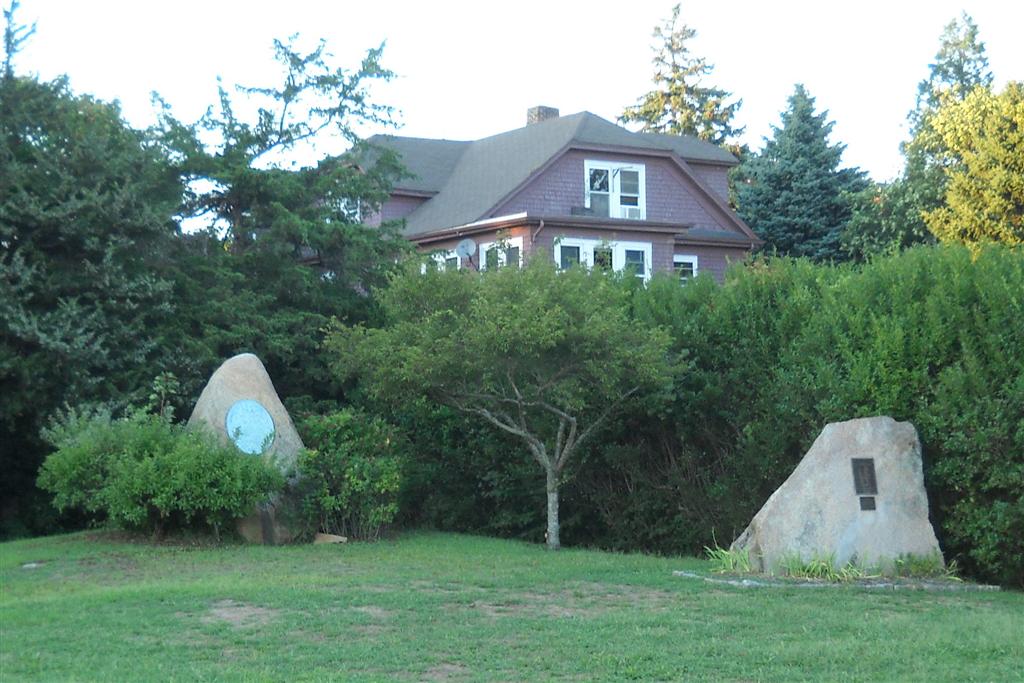
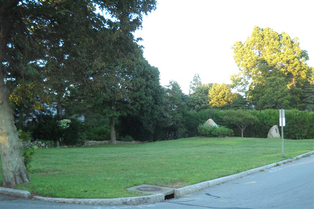
| Description | : | The Cooke Memorial Park is maintained by the Town of Fairhaven. From an article in "Old-time Fairhaven" by Charles A. Harris in 1947: "In September, 1895, 200 years, after the death of Cooke, the work of grading the John Cooke Burial hill began. His surmised resting place is marked by a bolder taken from the bed of the Acushnet River." The park also has a memorial to Captain Joshua Slocum and his voyage around the world in the ship "Spray". |
frequently asked questions (FAQ):
-
Where is Cooke Memorial Park?
Cooke Memorial Park is located at Pilgrim Avenue Fairhaven, Bristol County ,Massachusetts ,USA.
-
Cooke Memorial Park cemetery's updated grave count on graveviews.com?
0 memorials
-
Where are the coordinates of the Cooke Memorial Park?
Latitude: 41.6465200
Longitude: -70.9104600
Nearby Cemetories:
1. Riverside Cemetery
Fairhaven, Bristol County, USA
Coordinate: 41.6521988, -70.9124985
2. Sacred Hearts of Jesus and Mary Community Cemetery
Fairhaven, Bristol County, USA
Coordinate: 41.6420000, -70.8978000
3. Woodside Cemetery
Fairhaven, Bristol County, USA
Coordinate: 41.6589012, -70.9085999
4. Seamans Bethel Church Memorial
New Bedford, Bristol County, USA
Coordinate: 41.6350630, -70.9236090
5. Saint Anthony of Padua Churchyard
New Bedford, Bristol County, USA
Coordinate: 41.6599120, -70.9279700
6. Griffin Street Cemetery
New Bedford, Bristol County, USA
Coordinate: 41.6282300, -70.9226800
7. Oak Grove Cemetery
New Bedford, Bristol County, USA
Coordinate: 41.6432100, -70.9416000
8. Sacred Heart Old Cemetery
New Bedford, Bristol County, USA
Coordinate: 41.6586200, -70.9408200
9. Peckham West Cemetery
New Bedford, Bristol County, USA
Coordinate: 41.6594009, -70.9421997
10. Naskatucket Cemetery
Fairhaven, Bristol County, USA
Coordinate: 41.6426100, -70.8727200
11. Hathaway Family Cemetery
New Bedford, Bristol County, USA
Coordinate: 41.6543700, -70.9479600
12. Rural Cemetery
New Bedford, Bristol County, USA
Coordinate: 41.6236229, -70.9397964
13. Friends Burying Ground
New Bedford, Bristol County, USA
Coordinate: 41.6215800, -70.9366800
14. Noel Taber Cemetery
New Bedford, Bristol County, USA
Coordinate: 41.6446500, -70.9541000
15. Sacred Heart New Cemetery
New Bedford, Bristol County, USA
Coordinate: 41.6682968, -70.9464417
16. Kelley Family Burying Ground
Acushnet, Bristol County, USA
Coordinate: 41.6828000, -70.9115400
17. Parting Ways Friends Burial Ground
Acushnet, Bristol County, USA
Coordinate: 41.6837860, -70.9079370
18. Tabor Cemetery
Acushnet, Bristol County, USA
Coordinate: 41.6838900, -70.9070000
19. Congregational Church Cemetery
New Bedford, Bristol County, USA
Coordinate: 41.6829500, -70.9228200
20. Friends Cemetery
Acushnet, Bristol County, USA
Coordinate: 41.6841100, -70.9067100
21. Saint Johns Cemetery
New Bedford, Bristol County, USA
Coordinate: 41.6226273, -70.9497070
22. Saint Marys Cemetery
New Bedford, Bristol County, USA
Coordinate: 41.6391983, -70.9602966
23. Acushnet Cemetery
Acushnet, Bristol County, USA
Coordinate: 41.6847000, -70.9135971
24. Almshouse Cemetery (Defunct)
Dartmouth, Bristol County, USA
Coordinate: 41.6286400, -70.9659300