
| Memorials | : | 0 |
| Location | : | Jackson Springs, Moore County, USA |
| Coordinate | : | 35.2108139, -79.6575778 |
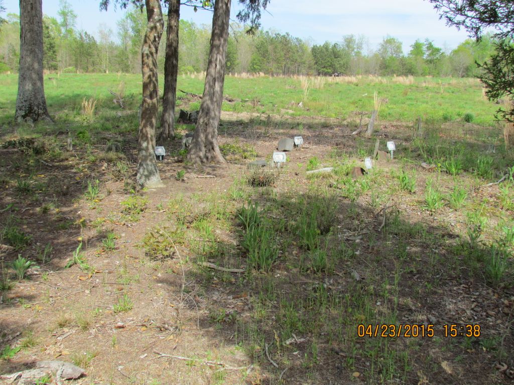
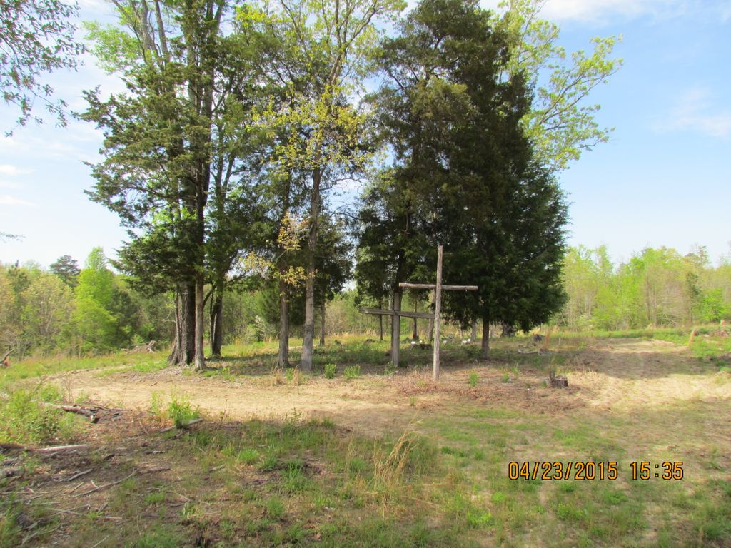
| Description | : | The old Copeland Cemetery is located on a hilltop about 250 yards east of Drowning Creek and the Moore County-Montgomery County line and about 530 yards north of Hwy 1122. The road to the cemetery is four tenths of a mile east of the Hwy 1122 bridge over Drowning Creek. In 2015 the property was owned by the Sandhills Area Trust Fund and leased to the Sandhills Pointers Breeders Club who will allow access to the cemetery if asked. The cemetery is located about 50 yards from the old Peter Copeland home place. Coordinates are: ... Read More |
frequently asked questions (FAQ):
-
Where is Copeland Family Cemetery?
Copeland Family Cemetery is located at Jackson Springs, Moore County ,North Carolina ,USA.
-
Copeland Family Cemetery cemetery's updated grave count on graveviews.com?
0 memorials
-
Where are the coordinates of the Copeland Family Cemetery?
Latitude: 35.2108139
Longitude: -79.6575778
Nearby Cemetories:
1. Marsh Chapel AME Zion Church Cemetery
Jackson Springs, Moore County, USA
Coordinate: 35.2229810, -79.6420790
2. Providence Presbyterian Church Cemetery
Jackson Springs, Moore County, USA
Coordinate: 35.2198140, -79.6376120
3. Jackson Springs Presbyterian Church Cemetery
Jackson Springs, Moore County, USA
Coordinate: 35.2102080, -79.6243680
4. Marcus Grove Cemetery
Montgomery County, USA
Coordinate: 35.1879300, -79.6769800
5. Jackson Springs Cemetery
Jackson Springs, Moore County, USA
Coordinate: 35.2134810, -79.6231730
6. Belford Church Cemetery
Candor, Montgomery County, USA
Coordinate: 35.2279243, -79.6972612
7. Pleasant Hill United Methodist Church Cemetery
Montgomery County, USA
Coordinate: 35.2409790, -79.6867040
8. Belford Baptist Cemetery
Jackson Springs, Moore County, USA
Coordinate: 35.2308350, -79.6986618
9. Saint Josephs Bible Church Cemetery
Ellerbe, Richmond County, USA
Coordinate: 35.1542930, -79.6918960
10. Brooks Family Cemetery
Montgomery County, USA
Coordinate: 35.2536300, -79.7197800
11. Eagle Springs United Methodist Church Cemetery
Eagle Springs, Moore County, USA
Coordinate: 35.2787100, -79.6635030
12. Derby Baptist Church Cemetery
Ellerbe, Richmond County, USA
Coordinate: 35.1434150, -79.6335090
13. Piney Grove Free Will Baptist Cemetery
Derby, Richmond County, USA
Coordinate: 35.1421432, -79.6324463
14. Tabernacle Baptist Church Cemetery
Candor, Montgomery County, USA
Coordinate: 35.2245150, -79.7446490
15. Old Center Baptist Church Cemetery
Candor, Montgomery County, USA
Coordinate: 35.2685890, -79.7123450
16. Norman Community Cemetery
Montgomery County, USA
Coordinate: 35.1820520, -79.7454210
17. Solomon Allred Cemetery
Norman, Richmond County, USA
Coordinate: 35.1818700, -79.7454400
18. West End Presbyterian Church Columbarium
West End, Moore County, USA
Coordinate: 35.2414110, -79.5701800
19. McQueen Cemetery
Richmond County, USA
Coordinate: 35.1338610, -79.6432940
20. West End Cemetery
West End, Moore County, USA
Coordinate: 35.2457700, -79.5723700
21. Holly Grove Deliverance Church of God Cemetery
Eagle Springs, Moore County, USA
Coordinate: 35.2874390, -79.6354560
22. Cedar Grove Missionary Baptist Church Cemetery
West End, Moore County, USA
Coordinate: 35.2609100, -79.5817860
23. Church of God of Prophecy Cemetery
Norman, Richmond County, USA
Coordinate: 35.1624850, -79.7350640
24. Holy Way Church of the Living Word Cemetery
Eagle Springs, Moore County, USA
Coordinate: 35.2913895, -79.6530609