
| Memorials | : | 359 |
| Location | : | Montgomery County, USA |
| Coordinate | : | 35.2409790, -79.6867040 |
frequently asked questions (FAQ):
-
Where is Pleasant Hill United Methodist Church Cemetery?
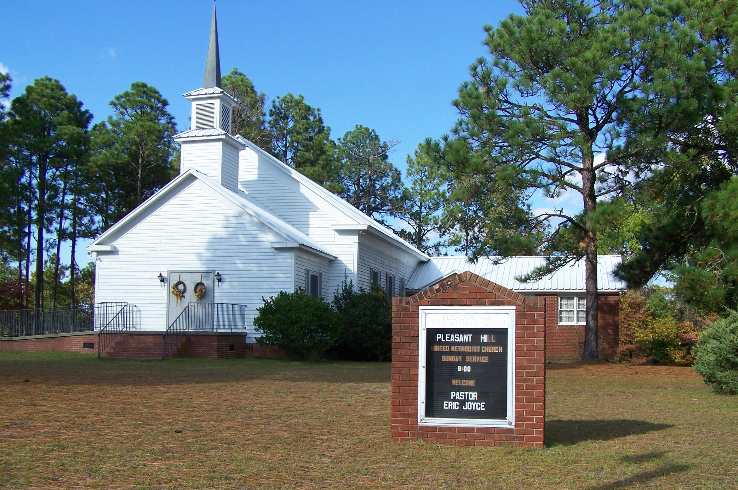
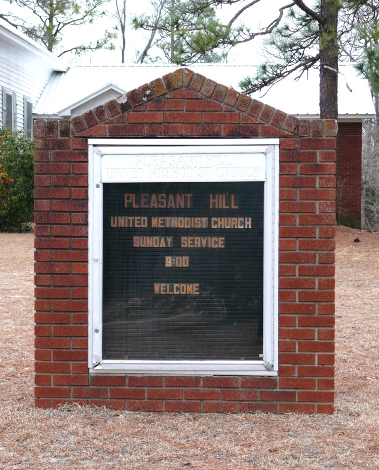
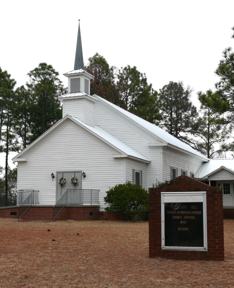
Pleasant Hill United Methodist Church Cemetery is located at 705 Morganton Rd. Montgomery County ,North Carolina , 27281USA.
-
Pleasant Hill United Methodist Church Cemetery cemetery's updated grave count on graveviews.com?
359 memorials
-
Where are the coordinates of the Pleasant Hill United Methodist Church Cemetery?
Latitude: 35.2409790
Longitude: -79.6867040

Nearby Cemetories:
1. Belford Baptist Cemetery
Jackson Springs, Moore County, USA
Coordinate: 35.2308350, -79.6986618
2. Belford Church Cemetery
Candor, Montgomery County, USA
Coordinate: 35.2279243, -79.6972612
3. Brooks Family Cemetery
Montgomery County, USA
Coordinate: 35.2536300, -79.7197800
4. Old Center Baptist Church Cemetery
Candor, Montgomery County, USA
Coordinate: 35.2685890, -79.7123450
5. Copeland Family Cemetery
Jackson Springs, Moore County, USA
Coordinate: 35.2108139, -79.6575778
6. Marsh Chapel AME Zion Church Cemetery
Jackson Springs, Moore County, USA
Coordinate: 35.2229810, -79.6420790
7. Eagle Springs United Methodist Church Cemetery
Eagle Springs, Moore County, USA
Coordinate: 35.2787100, -79.6635030
8. Providence Presbyterian Church Cemetery
Jackson Springs, Moore County, USA
Coordinate: 35.2198140, -79.6376120
9. Center Baptist Church Cemetery
Candor, Montgomery County, USA
Coordinate: 35.2692420, -79.7370590
10. Tabernacle Baptist Church Cemetery
Candor, Montgomery County, USA
Coordinate: 35.2245150, -79.7446490
11. Marcus Grove Cemetery
Montgomery County, USA
Coordinate: 35.1879300, -79.6769800
12. Holy Way Church of the Living Word Cemetery
Eagle Springs, Moore County, USA
Coordinate: 35.2913895, -79.6530609
13. Allred Family Cemetery
Eagle Springs, Moore County, USA
Coordinate: 35.2990500, -79.6865500
14. Jackson Springs Cemetery
Jackson Springs, Moore County, USA
Coordinate: 35.2134810, -79.6231730
15. Eagle Springs Baptist Church Cemetery
Eagle Springs, Moore County, USA
Coordinate: 35.2916750, -79.6489000
16. Jackson Springs Presbyterian Church Cemetery
Jackson Springs, Moore County, USA
Coordinate: 35.2102080, -79.6243680
17. Holly Grove Deliverance Church of God Cemetery
Eagle Springs, Moore County, USA
Coordinate: 35.2874390, -79.6354560
18. Sulphur Springs Church Cemetery
Candor, Montgomery County, USA
Coordinate: 35.2617600, -79.7658900
19. Candor Baptist Church Cemetery
Candor, Montgomery County, USA
Coordinate: 35.2978420, -79.7472440
20. Norman Community Cemetery
Montgomery County, USA
Coordinate: 35.1820520, -79.7454210
21. Solomon Allred Cemetery
Norman, Richmond County, USA
Coordinate: 35.1818700, -79.7454400
22. Candor Cemetery
Candor, Montgomery County, USA
Coordinate: 35.3025017, -79.7506027
23. Rush Family Cemetery
Candor, Montgomery County, USA
Coordinate: 35.2092500, -79.7779600
24. Oak Hill Cemetery
Candor, Montgomery County, USA
Coordinate: 35.3039204, -79.7499287