
| Memorials | : | 78 |
| Location | : | Coral, Montcalm County, USA |
| Coordinate | : | 43.3671989, -85.4060974 |
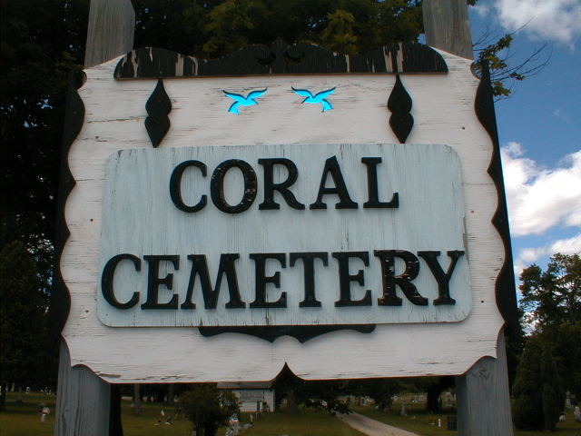
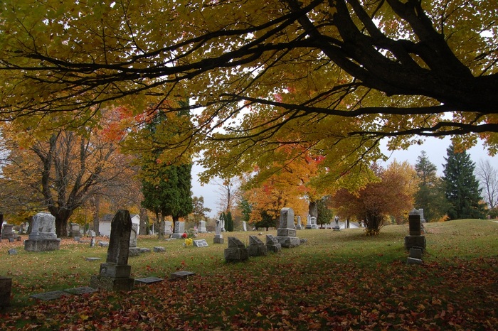
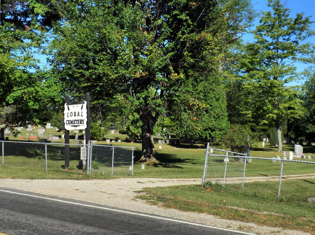
| Description | : | Coral Cemetery, 16250 Kendaville Road, Maple Valley Township, Montcalm County, Michigan. There are three entrances to Coral Cemetery all off Kendaville Road and this view is of the middle entrance and is looking in a north west direction. |
frequently asked questions (FAQ):
-
Where is Coral Cemetery?
Coral Cemetery is located at Coral, Montcalm County ,Michigan ,USA.
-
Coral Cemetery cemetery's updated grave count on graveviews.com?
76 memorials
-
Where are the coordinates of the Coral Cemetery?
Latitude: 43.3671989
Longitude: -85.4060974
Nearby Cemetories:
1. Coady Cemetery
Maple Valley Township, Montcalm County, USA
Coordinate: 43.3540520, -85.3825890
2. Maple Valley Cemetery
Maple Valley Township, Montcalm County, USA
Coordinate: 43.3358002, -85.3724976
3. West Pine Cemetery
Coral, Montcalm County, USA
Coordinate: 43.3669014, -85.3227997
4. Trufant Cemetery
Maple Valley Township, Montcalm County, USA
Coordinate: 43.3083000, -85.3653030
5. Reynolds Township Cemetery
Howard City, Montcalm County, USA
Coordinate: 43.4101300, -85.4767100
6. Amble Cemetery
Amble, Montcalm County, USA
Coordinate: 43.4352989, -85.4024963
7. Pierson Township Cemetery
Pierson, Montcalm County, USA
Coordinate: 43.3381004, -85.5006027
8. Dickerson-Whitsell Cemetery
Lakeview, Montcalm County, USA
Coordinate: 43.4533005, -85.3227997
9. Boyd Cemetery
Morley, Mecosta County, USA
Coordinate: 43.4796982, -85.3818970
10. Saint Mary's Cemetery
Sand Lake, Kent County, USA
Coordinate: 43.2717018, -85.4969025
11. Sand Lake Cemetery
Sand Lake, Kent County, USA
Coordinate: 43.2861480, -85.5313380
12. Saint Apollonia Cemetery
Morley, Mecosta County, USA
Coordinate: 43.4907990, -85.4278030
13. Lakeview Cemetery
Lakeview, Montcalm County, USA
Coordinate: 43.4467010, -85.2739029
14. Bouton Family Farm Burial Site
Reynolds Township, Montcalm County, USA
Coordinate: 43.4294960, -85.5555570
15. Little Denmark Cemetery
Gowen, Montcalm County, USA
Coordinate: 43.2677994, -85.3013992
16. Cato Cemetery
Lakeview, Montcalm County, USA
Coordinate: 43.4171982, -85.2472000
17. Aetna Township Cemetery
Morley, Mecosta County, USA
Coordinate: 43.4906006, -85.4597015
18. Riverside Cemetery
Langston, Montcalm County, USA
Coordinate: 43.3136400, -85.2400300
19. North Ensley Cemetery
Ensley Center, Newaygo County, USA
Coordinate: 43.3671989, -85.5935974
20. East Nelson Cemetery
Cedar Springs, Kent County, USA
Coordinate: 43.2355995, -85.4561005
21. Rustford Cemetery
Morley, Mecosta County, USA
Coordinate: 43.4972916, -85.3432999
22. Saint Johns Catholic Cemetery
Ensley Center, Newaygo County, USA
Coordinate: 43.3664017, -85.5969009
23. Amish Greenville Church District Cemetery
Stanton, Montcalm County, USA
Coordinate: 43.3060570, -85.2311130
24. Holt Cemetery
Morley, Mecosta County, USA
Coordinate: 43.5130997, -85.4332962