
| Memorials | : | 7 |
| Location | : | Coulson's Hill, Simcoe County, Canada |
| Coordinate | : | 44.1630890, -79.5789740 |
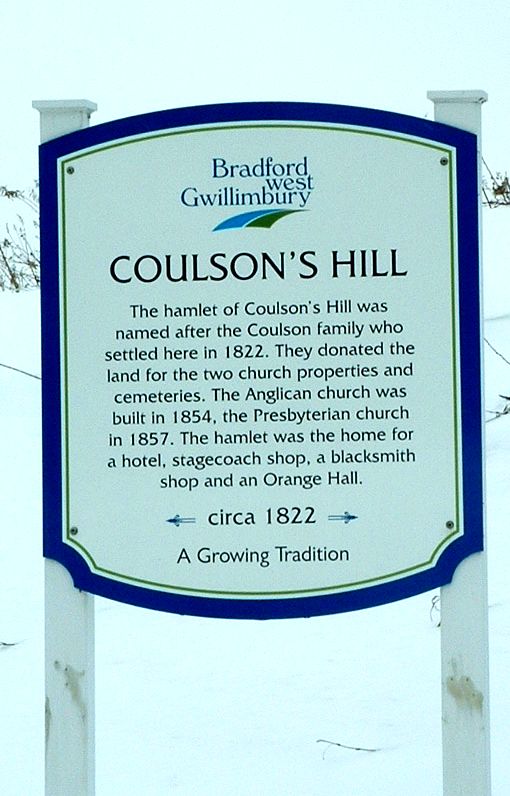
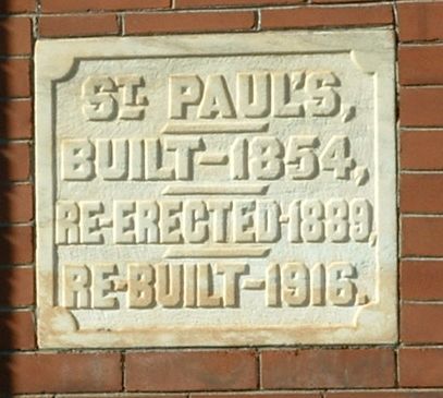
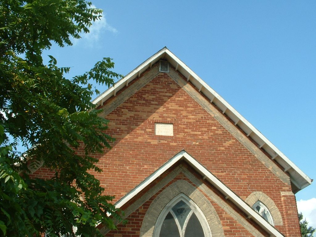
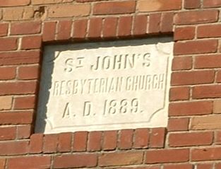
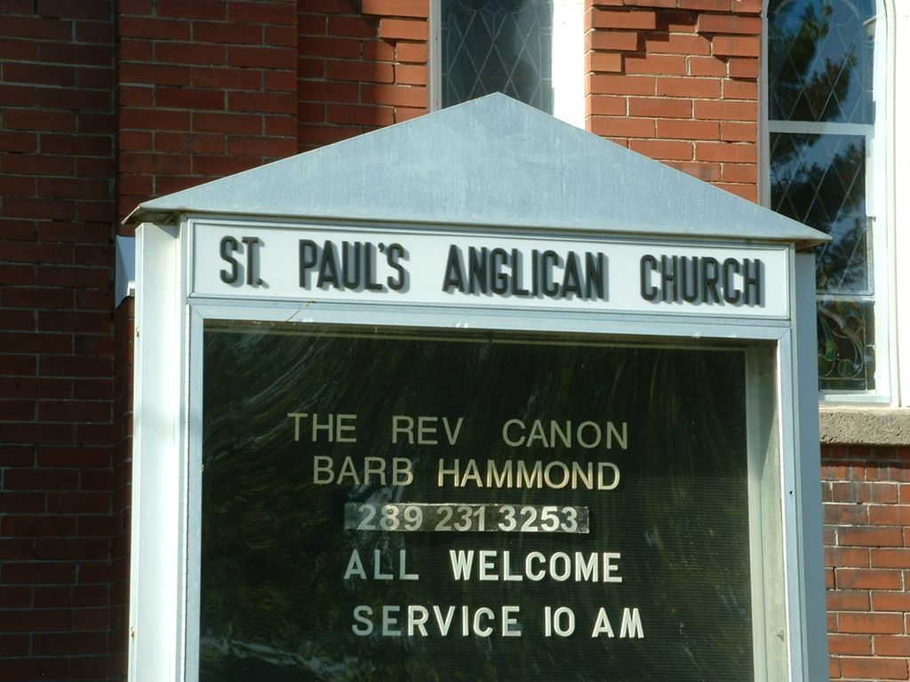
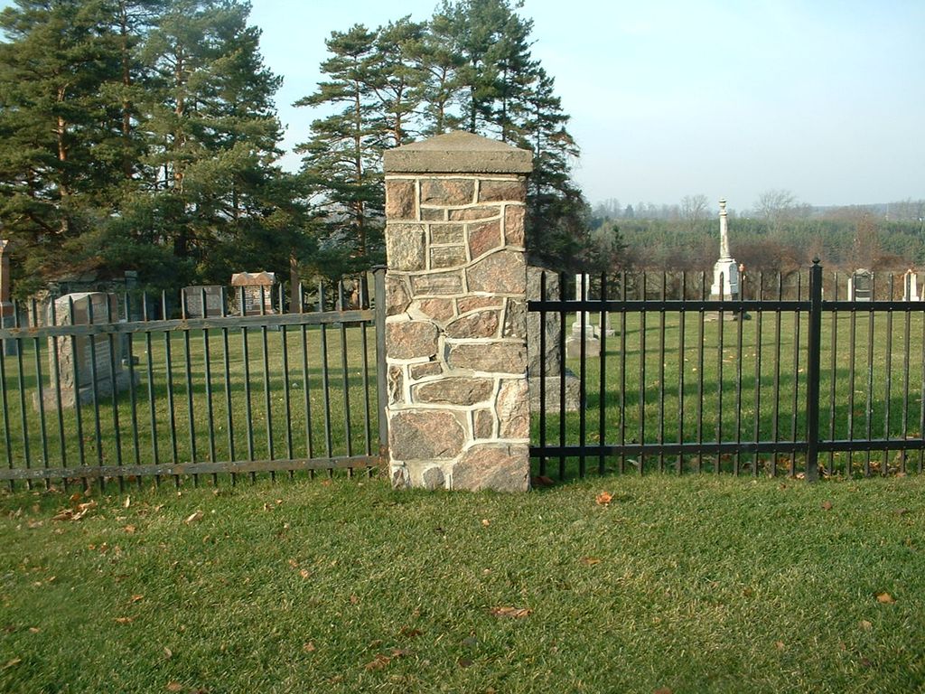
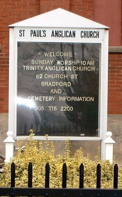
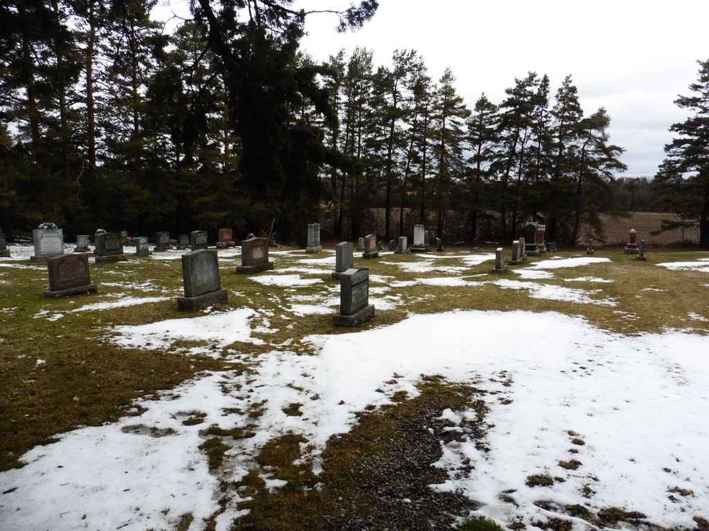
| Description | : | As you climb a hill with a curve in it. At the top of the hill there are two churches. The first is St. John's Presbyterian, and the second is St. Paul's Anglican. Both are surrounded by the Cemetery, and there is no dividing line. They are usually only referred as Coulson's Hill Cemetery, or St. Paul's Cemetery. The land for the two churches and two Cemeteries was donated by the Coulson Family. that is why the old timers in the area just refer to it as Coulson's Hill Cemetery. At one time it was a... Read More |
frequently asked questions (FAQ):
-
Where is Coulsons Hill Cemetery?
Coulsons Hill Cemetery is located at Concession 11, Lot 15, West Gwillimbury Township Coulson's Hill, Simcoe County ,Ontario ,Canada.
-
Coulsons Hill Cemetery cemetery's updated grave count on graveviews.com?
6 memorials
-
Where are the coordinates of the Coulsons Hill Cemetery?
Latitude: 44.1630890
Longitude: -79.5789740
Nearby Cemetories:
1. Mount Pleasant Cemetery
Bradford, Simcoe County, Canada
Coordinate: 44.1464700, -79.5725500
2. Holy Martyrs Catholic Cemetery
Bradford West Gwillimbury, Simcoe County, Canada
Coordinate: 44.1328600, -79.5989500
3. McGann's Cemetery
Bradford West Gwillimbury, Simcoe County, Canada
Coordinate: 44.1326800, -79.5985200
4. Zion Cemetery
Fennell, Simcoe County, Canada
Coordinate: 44.2063140, -79.5870850
5. Christ Church Anglican Cemetery
Bradford, Simcoe County, Canada
Coordinate: 44.1036600, -79.6133400
6. Clement's Cemetery
Innisfil, Simcoe County, Canada
Coordinate: 44.2278760, -79.5920290
7. Auld Kirk Cemetery
Bradford, Simcoe County, Canada
Coordinate: 44.0900900, -79.6155000
8. Law Cemetery
Bradford West Gwillimbury, Simcoe County, Canada
Coordinate: 44.1381530, -79.6904070
9. Newton Robinson United Church Cemetery
Newton Robinson, Simcoe County, Canada
Coordinate: 44.1262200, -79.6859700
10. St. Peter's Anglican Church Cemetery
Innisfil, Simcoe County, Canada
Coordinate: 44.2510860, -79.6010110
11. Saint John's Anglican Church Cemetery
Cookstown, Simcoe County, Canada
Coordinate: 44.1912010, -79.6975470
12. Presbyterian Church Cemetery
Scotch Settlement, Simcoe County, Canada
Coordinate: 44.0765720, -79.6174590
13. Christ Church Anglican Heritage Cemetery
Holland Landing, York Regional Municipality, Canada
Coordinate: 44.0967400, -79.4893100
14. Queensville Cemetery
Queensville, York Regional Municipality, Canada
Coordinate: 44.1454300, -79.4524800
15. Bond Head United Church Cemetery
Bond Head, Simcoe County, Canada
Coordinate: 44.0909615, -79.6683197
16. Bethesda Cemetery
Innisfil, Simcoe County, Canada
Coordinate: 44.2331310, -79.6738600
17. Cookstown United Church Cemetery
Cookstown, Simcoe County, Canada
Coordinate: 44.2057100, -79.7062800
18. Selby Pioneer Cemetery
East Gwillimbury, York Regional Municipality, Canada
Coordinate: 44.1132400, -79.4443900
19. Assumption of our Lady R.C. Cemetery
Bell Ewart, Simcoe County, Canada
Coordinate: 44.2733910, -79.5418700
20. Sixth Line Cemetery
Innisfil, Simcoe County, Canada
Coordinate: 44.2753900, -79.6078100
21. Bell Ewart Protestant Cemetery
Bell Ewart, Simcoe County, Canada
Coordinate: 44.2742880, -79.5397200
22. Christ Church Cemetery
Roches Point, York Regional Municipality, Canada
Coordinate: 44.2705030, -79.5022170
23. Mann Cemetery
Keswick, York Regional Municipality, Canada
Coordinate: 44.2568100, -79.4681800
24. Sharon Burying Ground
Sharon, York Regional Municipality, Canada
Coordinate: 44.0877700, -79.4374600