| Memorials | : | 21 |
| Location | : | Scotch Settlement, Simcoe County, Canada |
| Coordinate | : | 44.0765720, -79.6174590 |
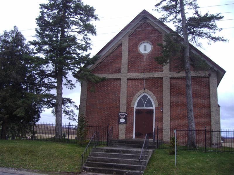
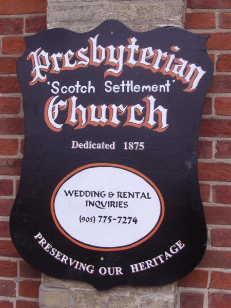
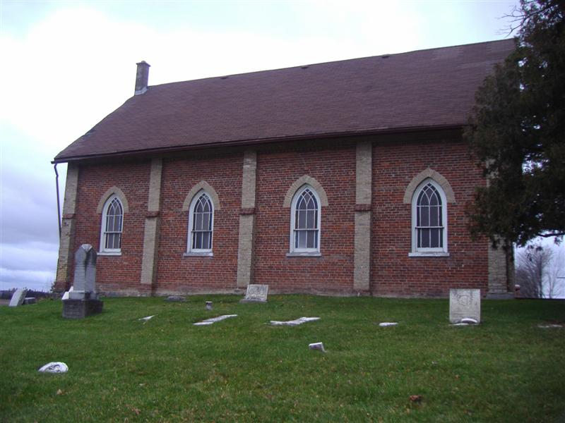
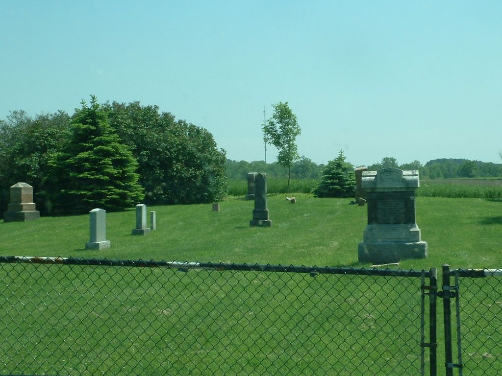
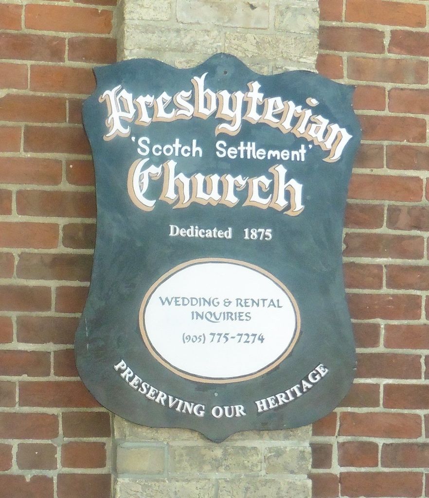
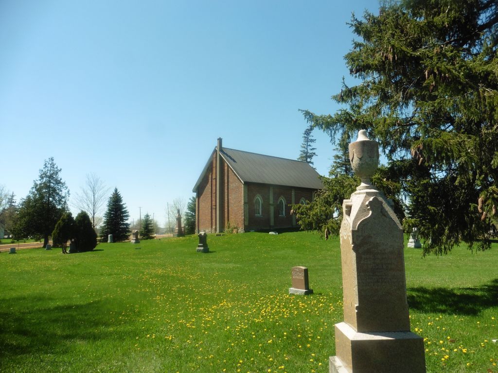
| Description | : | The Scotch Settlement is seen as the founding settlement of the West Gwillimbury area and South Simcoe County. The earliest structure purpose-built as a place of worship was the Auld Kirk on the 6th Line West Gwillimbury. Following the Disruption of the Church of Scotland in 1843, the congregation of the Auld Kirk divided. The larger number of people joined the Free Church, and in 1844 a new building was erected on a part of the Watson farm, Lot 7, Concession 4. The Church is in the north-west corner of the lot, so that it actually fronts onto the... Read More |
frequently asked questions (FAQ):
-
Where is Presbyterian Church Cemetery?
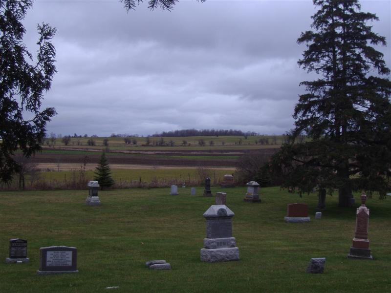
Presbyterian Church Cemetery is located at Concession 4 (actually situated on Cons.5), Lot 7, west of 10th Sideroad Scotch Settlement, Simcoe County ,Ontario ,Canada.
-
Presbyterian Church Cemetery cemetery's updated grave count on graveviews.com?
20 memorials
-
Where are the coordinates of the Presbyterian Church Cemetery?
Latitude: 44.0765720
Longitude: -79.6174590
Nearby Cemetories:
1. Auld Kirk Cemetery
Bradford, Simcoe County, Canada
Coordinate: 44.0900900, -79.6155000
2. Christ Church Anglican Cemetery
Bradford, Simcoe County, Canada
Coordinate: 44.1036600, -79.6133400
3. Bond Head United Church Cemetery
Bond Head, Simcoe County, Canada
Coordinate: 44.0909615, -79.6683197
4. Dunkerron United Church Cemetery
Dunkerron, Simcoe County, Canada
Coordinate: 44.0406580, -79.6630130
5. Dunkerron Quaker Cemetery
Dunkerron, Simcoe County, Canada
Coordinate: 44.0402650, -79.6648050
6. McGann's Cemetery
Bradford West Gwillimbury, Simcoe County, Canada
Coordinate: 44.1326800, -79.5985200
7. Holy Martyrs Catholic Cemetery
Bradford West Gwillimbury, Simcoe County, Canada
Coordinate: 44.1328600, -79.5989500
8. King Christian Church Cemetery
Kettleby, York Regional Municipality, Canada
Coordinate: 44.0180300, -79.5764400
9. Ozman Cemetery
New Tecumseth, Simcoe County, Canada
Coordinate: 44.0689550, -79.7137260
10. Newton Robinson United Church Cemetery
Newton Robinson, Simcoe County, Canada
Coordinate: 44.1262200, -79.6859700
11. Penville Wesleyan Methodist Cemetery
Penville, Simcoe County, Canada
Coordinate: 44.0528160, -79.7119850
12. Mount Pleasant Cemetery
Bradford, Simcoe County, Canada
Coordinate: 44.1464700, -79.5725500
13. Kettleby Cemetery
Kettleby, York Regional Municipality, Canada
Coordinate: 44.0059500, -79.5676900
14. St. John's Anglican Church Cemetery
Penville, Simcoe County, Canada
Coordinate: 44.0661700, -79.7277300
15. Law Cemetery
Bradford West Gwillimbury, Simcoe County, Canada
Coordinate: 44.1381530, -79.6904070
16. Monkman's Cemetery
New Tecumseth, Simcoe County, Canada
Coordinate: 44.0295400, -79.7136900
17. Schomberg Union Friends Cemetery
Schomberg, York Regional Municipality, Canada
Coordinate: 44.0030600, -79.6773900
18. Coulsons Hill Cemetery
Coulson's Hill, Simcoe County, Canada
Coordinate: 44.1630890, -79.5789740
19. Christ Church Anglican Heritage Cemetery
Holland Landing, York Regional Municipality, Canada
Coordinate: 44.0967400, -79.4893100
20. Saint Patrick's Cemetery
Schomberg, York Regional Municipality, Canada
Coordinate: 43.9935600, -79.6921700
21. Lloydtown Anglican Cemetery
Lloydtown, York Regional Municipality, Canada
Coordinate: 43.9913980, -79.6920830
22. Hicksite Friends Burying Ground
Newmarket, York Regional Municipality, Canada
Coordinate: 44.0545100, -79.4807000
23. St. Margarets of Scotland Tuam
Simcoe County, Canada
Coordinate: 44.0124700, -79.7310600
24. Religious Society of Friends Burial Ground
Newmarket, York Regional Municipality, Canada
Coordinate: 44.0426200, -79.4778800

