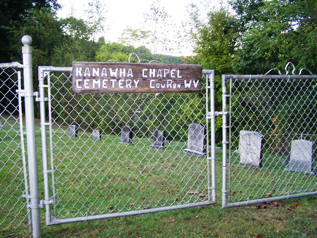
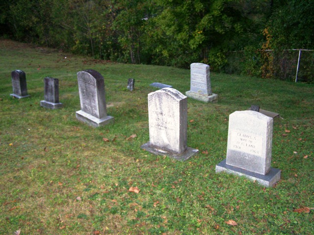
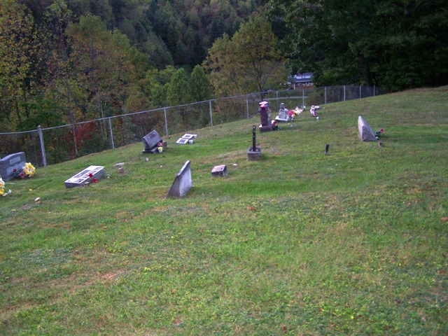
| Memorials | : | 3 |
| Location | : | Rock Cave, Upshur County, USA |
| Coordinate | : | 38.8065910, -80.3588530 |
| Description | : | This Cemetery and the old Church which no longer exists was the Home of the Lane Reunion For Many Years . I went here with My Grandparents Many times in the late 1930's and early 40's . Most all the people interned in this Cemetery are Lanes and their Relatives. The Cemetery is Located on a hillside Overlooking A beautiful Valley. I have photographs of all headstone and will post all of them here Anyone who has information or pictures of the old church or pictures of the people Buried Here please Contact me at ... Read More |
frequently asked questions (FAQ):
-
Where is Cow Run Cemetery?
Cow Run Cemetery is located at Rock Cave, Upshur County ,West Virginia ,USA.
-
Cow Run Cemetery cemetery's updated grave count on graveviews.com?
3 memorials
-
Where are the coordinates of the Cow Run Cemetery?
Latitude: 38.8065910
Longitude: -80.3588530
Nearby Cemetories:
1. Arlington Cemetery
Arlington, Upshur County, USA
Coordinate: 38.8020400, -80.3416910
2. Heaston Cemetery
Kanawha Head, Upshur County, USA
Coordinate: 38.7969100, -80.3776400
3. Cow Run School Cemetery
Rock Cave, Upshur County, USA
Coordinate: 38.8094090, -80.3816080
4. Brown Cemetery
Rock Cave, Upshur County, USA
Coordinate: 38.8065600, -80.3857820
5. Lee Cemetery
Kanawha Head, Upshur County, USA
Coordinate: 38.7787000, -80.3431390
6. Rock Cave Cemetery
Rock Cave, Upshur County, USA
Coordinate: 38.8367004, -80.3494034
7. Bennett Cemetery
Upshur County, USA
Coordinate: 38.7749063, -80.3555116
8. Chestnut Flat Cemetery
Rock Cave, Upshur County, USA
Coordinate: 38.8391991, -80.3811035
9. Oak Grove Cemetery
Upshur County, USA
Coordinate: 38.7697200, -80.3500000
10. Wimer Cemetery
Rock Cave, Upshur County, USA
Coordinate: 38.8407593, -80.3906555
11. Salem Ridge Cemetery
Gaines, Upshur County, USA
Coordinate: 38.7821200, -80.3130500
12. Kanawha Run Church Cemetery
French Creek, Upshur County, USA
Coordinate: 38.8347751, -80.3109749
13. Kanawha Run Cemetery
Arlington, Upshur County, USA
Coordinate: 38.8348770, -80.3108990
14. Kincaid Cemetery
Duffy, Lewis County, USA
Coordinate: 38.7858390, -80.4185540
15. Hevener Family Cemetery
Roanoke, Lewis County, USA
Coordinate: 38.8077460, -80.4250480
16. McDowell Cemetery
Frenchton, Upshur County, USA
Coordinate: 38.8632450, -80.3444930
17. Ash Family Cemetery
Frenchton, Upshur County, USA
Coordinate: 38.8648224, -80.3427582
18. Saul Smith Farm Cemetery
Crawford, Lewis County, USA
Coordinate: 38.8491950, -80.4149770
19. Taylor Chapel Cemetery
Crawford, Lewis County, USA
Coordinate: 38.8497370, -80.4145380
20. McCutcheon Chapel Cemetery
Ireland, Lewis County, USA
Coordinate: 38.8115200, -80.4373460
21. Phillips Family Cemetery
Upshur County, USA
Coordinate: 38.8628100, -80.3150700
22. Fair Haven Church Cemetery
Ireland, Lewis County, USA
Coordinate: 38.8333610, -80.4402740
23. Mount Zion Cemetery
Selbyville, Upshur County, USA
Coordinate: 38.7832985, -80.2735977
24. Pickens Cemetery
Duffy, Lewis County, USA
Coordinate: 38.7921982, -80.4475021


