
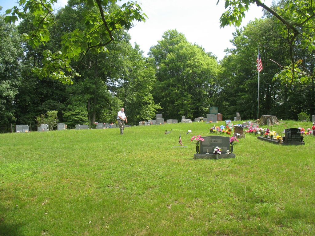
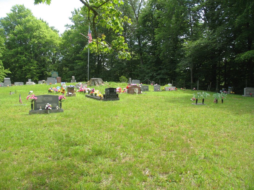
| Memorials | : | 311 |
| Location | : | Duffy, Lewis County, USA |
| Coordinate | : | 38.7858390, -80.4185540 |
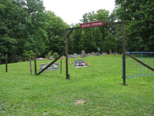
| Description | : | The Kincaid Cemetery is located at the top of Buttermilk Road off of the Wildcat Road running from Ireland to Wildcat. |
frequently asked questions (FAQ):
-
Where is Kincaid Cemetery?
Kincaid Cemetery is located at Duffy, Lewis County ,West Virginia ,USA.
-
Kincaid Cemetery cemetery's updated grave count on graveviews.com?
310 memorials
-
Where are the coordinates of the Kincaid Cemetery?
Latitude: 38.7858390
Longitude: -80.4185540
Nearby Cemetories:
1. Hevener Family Cemetery
Roanoke, Lewis County, USA
Coordinate: 38.8077460, -80.4250480
2. Pickens Cemetery
Duffy, Lewis County, USA
Coordinate: 38.7921982, -80.4475021
3. McCray Cemetery
Ireland, Lewis County, USA
Coordinate: 38.7963700, -80.4533280
4. McCutcheon Chapel Cemetery
Ireland, Lewis County, USA
Coordinate: 38.8115200, -80.4373460
5. Brown Cemetery
Rock Cave, Upshur County, USA
Coordinate: 38.8065600, -80.3857820
6. Lowther Cemetery
Wildcat, Lewis County, USA
Coordinate: 38.7591370, -80.4449440
7. Heaston Cemetery
Kanawha Head, Upshur County, USA
Coordinate: 38.7969100, -80.3776400
8. Cow Run School Cemetery
Rock Cave, Upshur County, USA
Coordinate: 38.8094090, -80.3816080
9. Reger Farm Cemetery
Ireland, Lewis County, USA
Coordinate: 38.8150030, -80.4563910
10. Wilson Cemetery
Ireland, Lewis County, USA
Coordinate: 38.8083550, -80.4753040
11. Bennett Cemetery
Upshur County, USA
Coordinate: 38.7749063, -80.3555116
12. Fair Haven Church Cemetery
Ireland, Lewis County, USA
Coordinate: 38.8333610, -80.4402740
13. Cow Run Cemetery
Rock Cave, Upshur County, USA
Coordinate: 38.8065910, -80.3588530
14. Green Hill Cemetery
Hettie, Braxton County, USA
Coordinate: 38.7630170, -80.4827000
15. Oak Grove Cemetery
Upshur County, USA
Coordinate: 38.7697200, -80.3500000
16. Wimer Cemetery
Rock Cave, Upshur County, USA
Coordinate: 38.8407593, -80.3906555
17. Lee Cemetery
Kanawha Head, Upshur County, USA
Coordinate: 38.7787000, -80.3431390
18. Chestnut Flat Cemetery
Rock Cave, Upshur County, USA
Coordinate: 38.8391991, -80.3811035
19. Hedding Chapel Cemetery
Walkersville, Lewis County, USA
Coordinate: 38.8425590, -80.4499710
20. Arlington Cemetery
Arlington, Upshur County, USA
Coordinate: 38.8020400, -80.3416910
21. Hull-Leatherbark Run Cemetery
Walkersville, Lewis County, USA
Coordinate: 38.8469700, -80.4380100
22. Saul Smith Farm Cemetery
Crawford, Lewis County, USA
Coordinate: 38.8491950, -80.4149770
23. Taylor Chapel Cemetery
Crawford, Lewis County, USA
Coordinate: 38.8497370, -80.4145380
24. Anderson Family Cemetery
Walkersville, Lewis County, USA
Coordinate: 38.8488960, -80.4490850