
| Memorials | : | 0 |
| Location | : | Smithland, Livingston County, USA |
| Coordinate | : | 37.1991590, -88.4208870 |
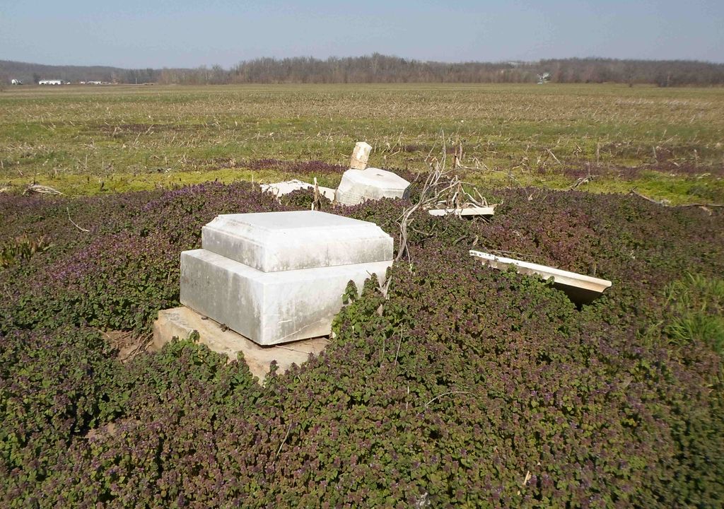
| Description | : | Located on Riverview Farm, known as the Trail Farm, on hwy 137. Cemetery is about 1/2 mile past intesection of 137 & u.s. 60; The graves are one mile in front of the house on the second river bank. Copied by Mrs Frankie Davidson. Source: Livingston County Cemeteries 1738-1976 dated 1977. |
frequently asked questions (FAQ):
-
Where is Cowper Cemetery #2?
Cowper Cemetery #2 is located at Trail Farm Hwy 137 1/2 mile from Hwy 60 Smithland, Livingston County ,Kentucky ,USA.
-
Cowper Cemetery #2 cemetery's updated grave count on graveviews.com?
0 memorials
-
Where are the coordinates of the Cowper Cemetery #2?
Latitude: 37.1991590
Longitude: -88.4208870
Nearby Cemetories:
1. Cowper Cemetery #1
Livingston County, USA
Coordinate: 37.1899986, -88.4152985
2. Abell Cemetery
Burna, Livingston County, USA
Coordinate: 37.2082570, -88.3955120
3. Jameson Cemetery #1
Burna, Livingston County, USA
Coordinate: 37.2186012, -88.4013977
4. Edmonds Cemetery
Smithland, Livingston County, USA
Coordinate: 37.1772003, -88.4000015
5. Rock Quarry Cemetery
Livingston County, USA
Coordinate: 37.1982994, -88.3852997
6. Jameson Cemetery #3
Burna, Livingston County, USA
Coordinate: 37.2271300, -88.4064100
7. Birdsville Cemetery
Birdsville, Livingston County, USA
Coordinate: 37.2213800, -88.4475800
8. Rappolee Cemetery #2
Burna, Livingston County, USA
Coordinate: 37.1961850, -88.3818340
9. Hampton Family Cemetery
Smithland, Livingston County, USA
Coordinate: 37.1897240, -88.3832070
10. Dyer Hill Baptist Church Cemetery
Livingston County, USA
Coordinate: 37.2135200, -88.3826900
11. Dunlap Cemetery
Vicksburg, Livingston County, USA
Coordinate: 37.1939011, -88.3747025
12. Rappolee Cemetery
Livingston County, USA
Coordinate: 37.2051940, -88.3736660
13. Hastings Cemetery
Pope County, USA
Coordinate: 37.1850014, -88.4705963
14. Neely and Sanders Cemetery
Hamletsburg, Pope County, USA
Coordinate: 37.1895340, -88.4725280
15. Crowley-Robinson Cemetery
Burna, Livingston County, USA
Coordinate: 37.2266056, -88.3792944
16. Belford Cemetery
Golconda, Pope County, USA
Coordinate: 37.2350350, -88.4569680
17. Foster Cemetery
Bayou, Livingston County, USA
Coordinate: 37.2455500, -88.4257000
18. Hall Cemetery
Bayou, Livingston County, USA
Coordinate: 37.2425130, -88.4520200
19. Trail Cemetery
Burna, Livingston County, USA
Coordinate: 37.2516300, -88.4251600
20. Scotts Chapel Cemetery
Livingston County, USA
Coordinate: 37.1807770, -88.3590400
21. Lucy Jefferson Lewis Memorial
Smithland, Livingston County, USA
Coordinate: 37.1488914, -88.3991699
22. Lewis Cemetery
Pope County, USA
Coordinate: 37.1911011, -88.4869003
23. Sloan Cemetery
Pope County, USA
Coordinate: 37.2219009, -88.4813995
24. Lockett Cemetery
Vicksburg, Livingston County, USA
Coordinate: 37.1791992, -88.3578033