
| Memorials | : | 0 |
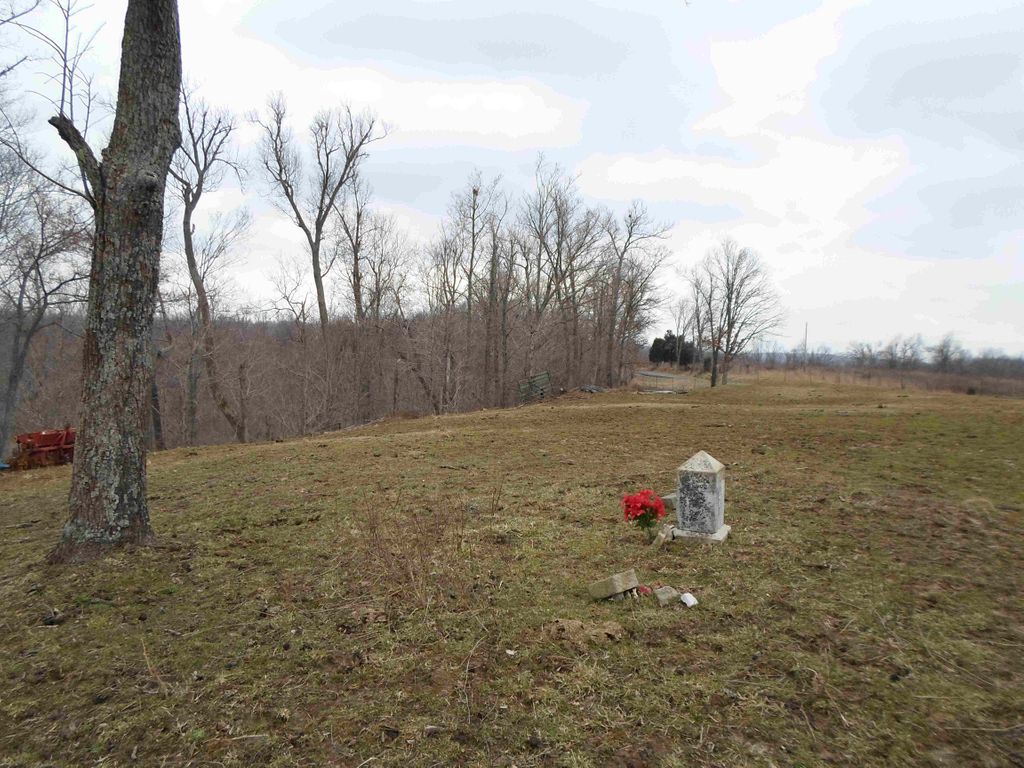
| Location | : | Burna, Livingston County, USA |
| Coordinate | : | 37.2516300, -88.4251600 |
| Description | : | From U.S. 60 at Burna take hwy. 763. Cemetery is about 3 miles, and on Wayne Davis Farm. Formerly called the Charlie Hurley Farm for more than forty years. Copied by Darlene Davis. Source: Livingston County Cemeteries 1738-1976 dated 1977. |
frequently asked questions (FAQ):
-
Where is Trail Cemetery?
Trail Cemetery is located at US 60 from Burna, take Hy 763. abt 3 miles, Wayne Davis Farm Burna, Livingston County ,Kentucky ,USA.
-
Trail Cemetery cemetery's updated grave count on graveviews.com?
0 memorials
-
Where are the coordinates of the Trail Cemetery?
Latitude: 37.2516300
Longitude: -88.4251600
Nearby Cemetories:
1. Foster Cemetery
Bayou, Livingston County, USA
Coordinate: 37.2455500, -88.4257000
2. Duley Bluff Cemetery
Hampton, Livingston County, USA
Coordinate: 37.2655983, -88.4067001
3. McMurry Chapel Cemetery
Bayou, Livingston County, USA
Coordinate: 37.2566500, -88.4509100
4. Hall Cemetery
Bayou, Livingston County, USA
Coordinate: 37.2425130, -88.4520200
5. Jameson Cemetery #3
Burna, Livingston County, USA
Coordinate: 37.2271300, -88.4064100
6. Lay Cemetery
Bayou, Livingston County, USA
Coordinate: 37.2731018, -88.4494019
7. Belford Cemetery
Golconda, Pope County, USA
Coordinate: 37.2350350, -88.4569680
8. Mahan Cemetery
Hampton, Livingston County, USA
Coordinate: 37.2628860, -88.3870239
9. Buky Cemetery
Bayou, Livingston County, USA
Coordinate: 37.2644540, -88.4661640
10. Birdsville Cemetery
Birdsville, Livingston County, USA
Coordinate: 37.2213800, -88.4475800
11. Jameson Cemetery #1
Burna, Livingston County, USA
Coordinate: 37.2186012, -88.4013977
12. Robinson Cemetery #1
Burna, Livingston County, USA
Coordinate: 37.2580800, -88.3725700
13. Crowley-Robinson Cemetery
Burna, Livingston County, USA
Coordinate: 37.2266056, -88.3792944
14. Abell Cemetery
Burna, Livingston County, USA
Coordinate: 37.2082570, -88.3955120
15. Duley-Hofman Cemetery
Burna, Livingston County, USA
Coordinate: 37.2572800, -88.3625200
16. Dyer Hill Baptist Church Cemetery
Livingston County, USA
Coordinate: 37.2135200, -88.3826900
17. Cowper Cemetery #2
Smithland, Livingston County, USA
Coordinate: 37.1991590, -88.4208870
18. Hampton Cemetery
Hampton, Livingston County, USA
Coordinate: 37.2852800, -88.3729300
19. Sloan Cemetery
Pope County, USA
Coordinate: 37.2219009, -88.4813995
20. Jackson-Brush Cemetery
Pope County, USA
Coordinate: 37.3045000, -88.4041200
21. Phillips Cemetery
Livingston County, USA
Coordinate: 37.2296982, -88.3602982
22. Champion Cemetery #1
Burna, Livingston County, USA
Coordinate: 37.2471890, -88.3539820
23. Rappolee Cemetery
Livingston County, USA
Coordinate: 37.2051940, -88.3736660
24. Rock Quarry Cemetery
Livingston County, USA
Coordinate: 37.1982994, -88.3852997