
| Memorials | : | 9 |
| Location | : | Sandwich, Carroll County, USA |
| Coordinate | : | 43.7972220, -71.3641670 |
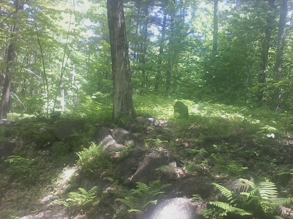
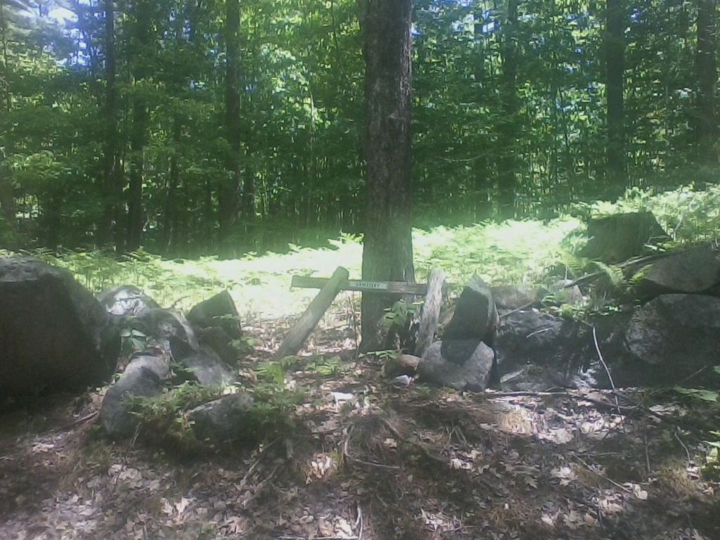
| Description | : | S 05-007 USGS Tamworth Quadrangle E 30981 N 485186 Zone 19 This small Cemetery in a pine grove on a high knoll once owned by William Webster contains many graves of the Webster family. |
frequently asked questions (FAQ):
-
Where is Cram-Webster Cemetery?
Cram-Webster Cemetery is located at Ossipee Mountain Road Sandwich, Carroll County ,New Hampshire , 03227USA.
-
Cram-Webster Cemetery cemetery's updated grave count on graveviews.com?
9 memorials
-
Where are the coordinates of the Cram-Webster Cemetery?
Latitude: 43.7972220
Longitude: -71.3641670
Nearby Cemetories:
1. Hubbard Cemetery
Center Sandwich, Carroll County, USA
Coordinate: 43.7855988, -71.3628006
2. Vittum Hill Cemetery
Sandwich, Carroll County, USA
Coordinate: 43.8096700, -71.3578100
3. Mears-Nelson Cemetery
Sandwich, Carroll County, USA
Coordinate: 43.7932790, -71.3820560
4. Wallace-Vittum Cemetery
Sandwich, Carroll County, USA
Coordinate: 43.8110897, -71.3536102
5. Nathanial Fry Family Plot
Sandwich, Carroll County, USA
Coordinate: 43.7875872, -71.3844592
6. Richard Fry Cemetery
Sandwich, Carroll County, USA
Coordinate: 43.7822817, -71.3830099
7. Rogers Cemetery
Moultonborough, Carroll County, USA
Coordinate: 43.7707400, -71.3693100
8. Littles Pond Cemetery
Sandwich, Carroll County, USA
Coordinate: 43.7915600, -71.4034200
9. Chase Cemetery
Moultonborough, Carroll County, USA
Coordinate: 43.7618000, -71.3635000
10. Paine-Chase Cemetery
Moultonborough, Carroll County, USA
Coordinate: 43.7617000, -71.3635000
11. Beede Cemetery
Sandwich, Carroll County, USA
Coordinate: 43.8013890, -71.4166670
12. Clement Cemetery
Moultonborough, Carroll County, USA
Coordinate: 43.7586110, -71.3827780
13. G.G. Smith Cemetery
North Sandwich, Carroll County, USA
Coordinate: 43.8390666, -71.3548476
14. Gordon Cemetery
Moultonborough, Carroll County, USA
Coordinate: 43.7545880, -71.3704780
15. Holland Hill Cemetery
Moultonborough, Carroll County, USA
Coordinate: 43.7620300, -71.3995400
16. Freese Cemetery
Moultonborough, Carroll County, USA
Coordinate: 43.7616670, -71.4008330
17. Cemetery of the Religious Society of Friends
Sandwich, Carroll County, USA
Coordinate: 43.7994400, -71.4266700
18. Mason Cemetery
Center Sandwich, Carroll County, USA
Coordinate: 43.7858000, -71.4258000
19. Moulton Cemetery
Moultonborough, Carroll County, USA
Coordinate: 43.7505560, -71.3641670
20. North Sandwich Cemetery
North Sandwich, Carroll County, USA
Coordinate: 43.8410750, -71.3953610
21. Moulton-Beede Cemetery
Sandwich, Carroll County, USA
Coordinate: 43.7774000, -71.4276000
22. Meader Cemetery
Tamworth, Carroll County, USA
Coordinate: 43.8387880, -71.3242646
23. Brown Cemetery
Moultonborough, Carroll County, USA
Coordinate: 43.7476220, -71.3815960
24. Lee Cemetery
Moultonborough, Carroll County, USA
Coordinate: 43.7472230, -71.3812320