| Memorials | : | 3 |
| Location | : | Sandwich, Carroll County, USA |
| Coordinate | : | 43.7875872, -71.3844592 |
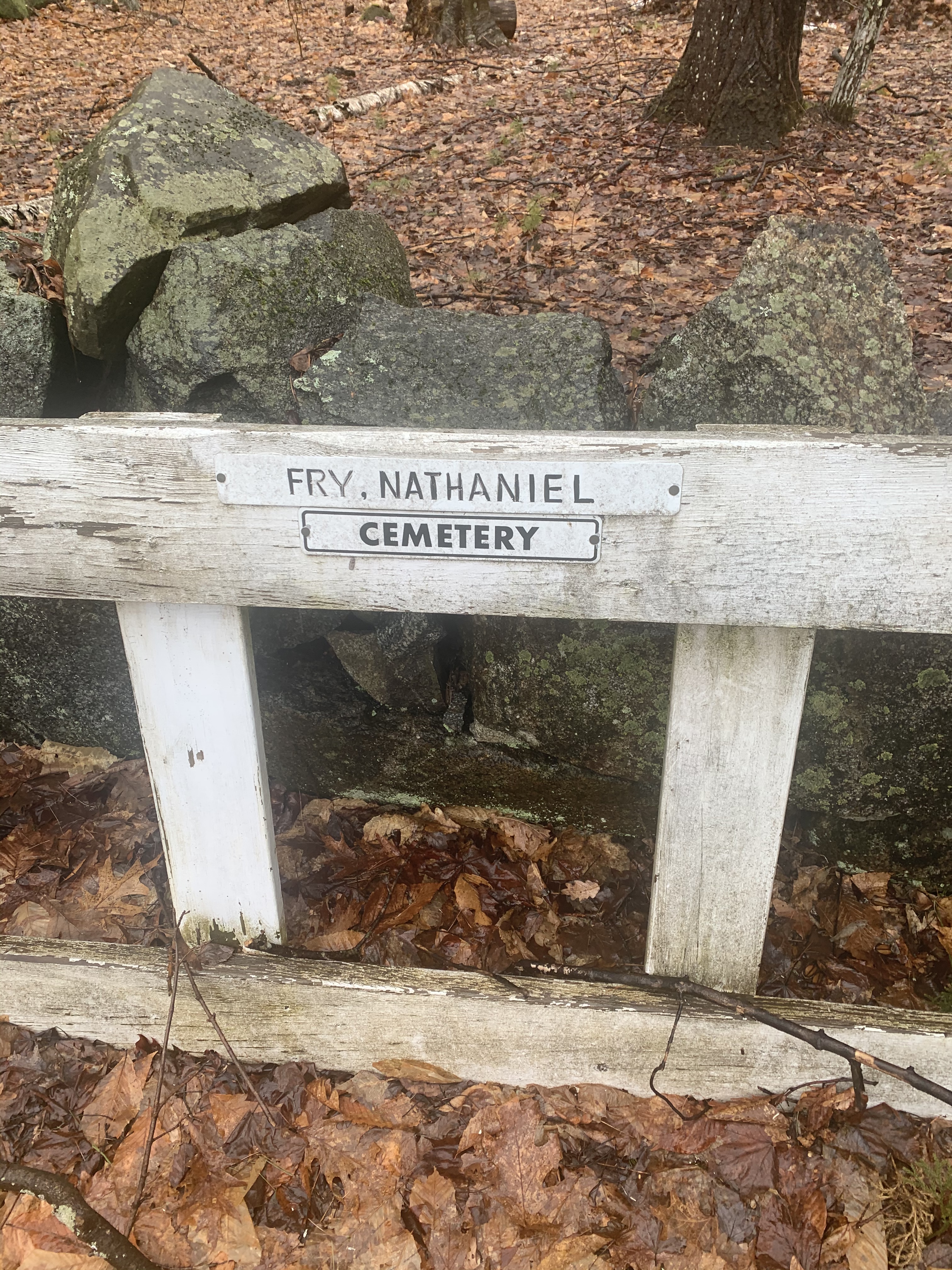
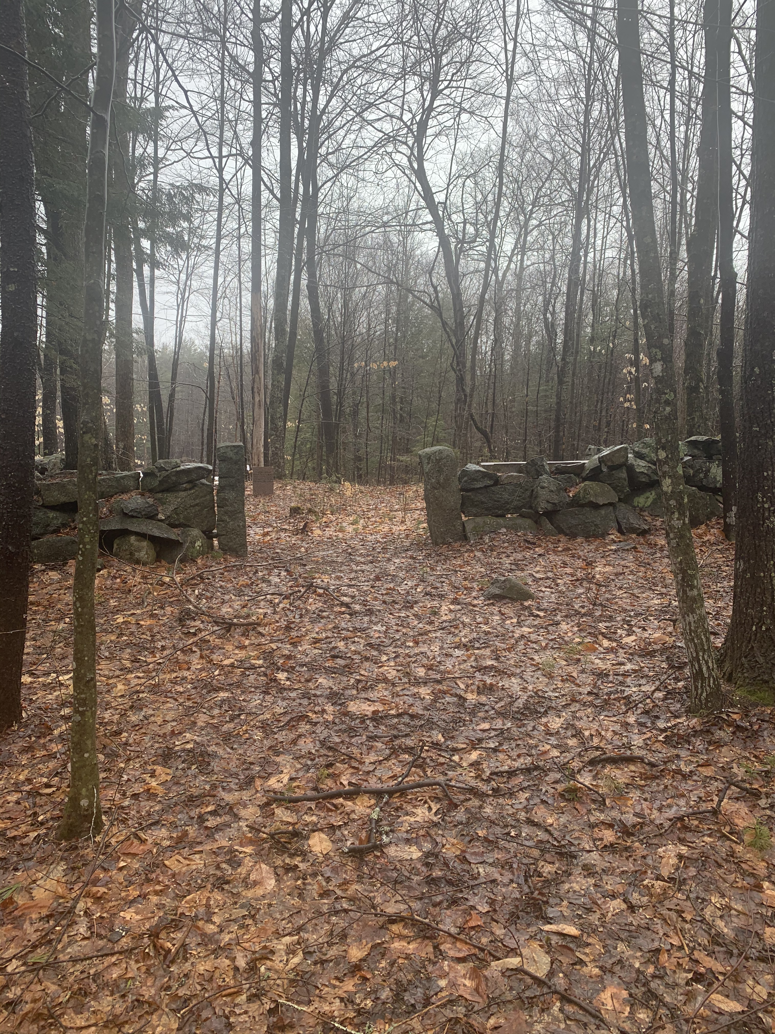
| Description | : | Small Cemetery with only one stone standing in the cemetery. Other stones have been picked up and moved to the wall. Located on Miner Road off of Little Pond Road. Miner Road is a private road. |
frequently asked questions (FAQ):
-
Where is Nathanial Fry Family Plot?
Nathanial Fry Family Plot is located at Sandwich, Carroll County ,New Hampshire ,USA.
-
Nathanial Fry Family Plot cemetery's updated grave count on graveviews.com?
3 memorials
-
Where are the coordinates of the Nathanial Fry Family Plot?
Latitude: 43.7875872
Longitude: -71.3844592
Nearby Cemetories:
1. Richard Fry Cemetery
Sandwich, Carroll County, USA
Coordinate: 43.7822817, -71.3830099
2. Mears-Nelson Cemetery
Sandwich, Carroll County, USA
Coordinate: 43.7932790, -71.3820560
3. Littles Pond Cemetery
Sandwich, Carroll County, USA
Coordinate: 43.7915600, -71.4034200
4. Hubbard Cemetery
Center Sandwich, Carroll County, USA
Coordinate: 43.7855988, -71.3628006
5. Cram-Webster Cemetery
Sandwich, Carroll County, USA
Coordinate: 43.7972220, -71.3641670
6. Rogers Cemetery
Moultonborough, Carroll County, USA
Coordinate: 43.7707400, -71.3693100
7. Beede Cemetery
Sandwich, Carroll County, USA
Coordinate: 43.8013890, -71.4166670
8. Holland Hill Cemetery
Moultonborough, Carroll County, USA
Coordinate: 43.7620300, -71.3995400
9. Freese Cemetery
Moultonborough, Carroll County, USA
Coordinate: 43.7616670, -71.4008330
10. Clement Cemetery
Moultonborough, Carroll County, USA
Coordinate: 43.7586110, -71.3827780
11. Vittum Hill Cemetery
Sandwich, Carroll County, USA
Coordinate: 43.8096700, -71.3578100
12. Mason Cemetery
Center Sandwich, Carroll County, USA
Coordinate: 43.7858000, -71.4258000
13. Chase Cemetery
Moultonborough, Carroll County, USA
Coordinate: 43.7618000, -71.3635000
14. Paine-Chase Cemetery
Moultonborough, Carroll County, USA
Coordinate: 43.7617000, -71.3635000
15. Wallace-Vittum Cemetery
Sandwich, Carroll County, USA
Coordinate: 43.8110897, -71.3536102
16. Cemetery of the Religious Society of Friends
Sandwich, Carroll County, USA
Coordinate: 43.7994400, -71.4266700
17. Moulton-Beede Cemetery
Sandwich, Carroll County, USA
Coordinate: 43.7774000, -71.4276000
18. Gordon Cemetery
Moultonborough, Carroll County, USA
Coordinate: 43.7545880, -71.3704780
19. Smith-Morse Cemetery
Sandwich, Carroll County, USA
Coordinate: 43.7768000, -71.4301000
20. Haines Cemetery
Union, Carroll County, USA
Coordinate: 43.7734000, -71.4331000
21. Mason Cemetery
Moultonborough, Carroll County, USA
Coordinate: 43.7574500, -71.4184000
22. Moulton Cemetery
Moultonborough, Carroll County, USA
Coordinate: 43.7505560, -71.3641670
23. Brown Cemetery
Moultonborough, Carroll County, USA
Coordinate: 43.7476220, -71.3815960
24. Lee Cemetery
Moultonborough, Carroll County, USA
Coordinate: 43.7472230, -71.3812320


