
| Memorials | : | 0 |
| Location | : | Abernathy, Cleburne County, USA |
| Coordinate | : | 33.6926727, -85.5577011 |
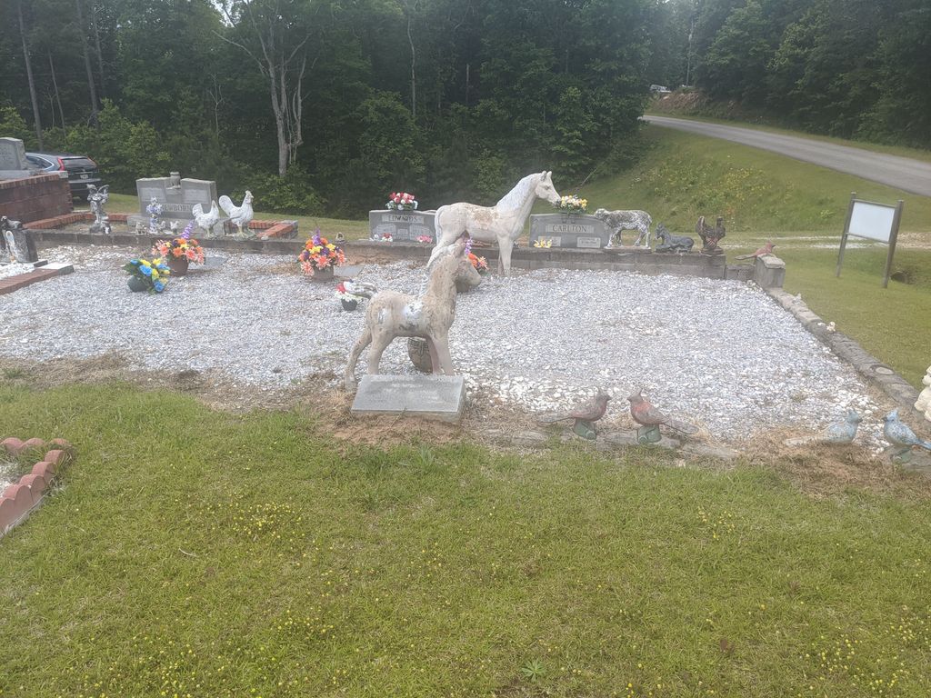
| Description | : | Originally named Bethesadia No. 2, this small church and its cemetery have become known as Crossroads Cemetery by the local citizenry, owing to its location at the intersections of Cleburne County Road 62 and Cnty Road 66. The Cemetery can be reached by taking US Highway 78 North from Heflin and turning left onto Cleburne County Road 66. The Bethsadia No. 2 Church building is the first structure on the right and approximately three miles to the East. The Crossroads Cemetery is found in Township 15 Range 11 Section 26. |
frequently asked questions (FAQ):
-
Where is Crossroads Cemetery?
Crossroads Cemetery is located at Abernathy, Cleburne County ,Alabama ,USA.
-
Crossroads Cemetery cemetery's updated grave count on graveviews.com?
0 memorials
-
Where are the coordinates of the Crossroads Cemetery?
Latitude: 33.6926727
Longitude: -85.5577011


Nearby Cemetories:
1. Lower Cane Creek Cemetery
Edwardsville, Cleburne County, USA
Coordinate: 33.6864700, -85.5258408
2. Heflin Memorial Garden
Heflin, Cleburne County, USA
Coordinate: 33.6571630, -85.5645240
3. Edwardsville Cemetery
Edwardsville, Cleburne County, USA
Coordinate: 33.7078018, -85.5149994
4. Edwardsville United Methodist Church Cemetery
Cleburne County, USA
Coordinate: 33.7080994, -85.5117035
5. Evans Chapel Cemetery
Cleburne County, USA
Coordinate: 33.6535988, -85.5357971
6. Cole Cemetery
Cleburne County, USA
Coordinate: 33.7299995, -85.5980988
7. Heflin Cemetery
Heflin, Cleburne County, USA
Coordinate: 33.6460991, -85.5836029
8. Happy Hill Baptist Church Cemetery
Cleburne County, USA
Coordinate: 33.6501820, -85.5158380
9. Calvary Baptist Church Cemetery
Heflin, Cleburne County, USA
Coordinate: 33.6432991, -85.6006012
10. Old Liberty Church Cemetery
Cleburne County, USA
Coordinate: 33.6310997, -85.5177994
11. Evans Cemetery
Cleburne County, USA
Coordinate: 33.6194000, -85.5582962
12. Harmony Grove Cemetery
Fruithurst, Cleburne County, USA
Coordinate: 33.7313995, -85.4794006
13. Upper Cane Creek Cemetery
Fruithurst, Cleburne County, USA
Coordinate: 33.7338982, -85.4777985
14. New Harmony Cemetery
Heflin, Cleburne County, USA
Coordinate: 33.6180992, -85.5958023
15. Shoal Creek Cemetery
Cleburne County, USA
Coordinate: 33.7756004, -85.5642014
16. Bethany Baptist Cemetery
Iron City, Calhoun County, USA
Coordinate: 33.6674995, -85.6611023
17. Hudson Cemetery
White Plains, Calhoun County, USA
Coordinate: 33.7216988, -85.6603012
18. Chosea Springs Community Cemetery
Chosea Springs, Calhoun County, USA
Coordinate: 33.6939000, -85.6689000
19. Iron City Cemetery
Iron City, Calhoun County, USA
Coordinate: 33.6713982, -85.6669006
20. Denman Family Cemetery
Heflin, Cleburne County, USA
Coordinate: 33.6276190, -85.4764790
21. Chosea Springs Baptist Church Cemetery
Chosea Springs, Calhoun County, USA
Coordinate: 33.7016080, -85.6719980
22. Mount Olive Cemetery
Fruithurst, Cleburne County, USA
Coordinate: 33.7097015, -85.4441986
23. Pine Grove Baptist Church Cemetery
Heflin, Cleburne County, USA
Coordinate: 33.6321983, -85.4661026
24. Old Davistown Cemetery
Old Davisville, Calhoun County, USA
Coordinate: 33.6493988, -85.6635971