
| Memorials | : | 0 |
| Location | : | New Bremen, Lewis County, USA |
| Coordinate | : | 43.8358530, -75.4416550 |
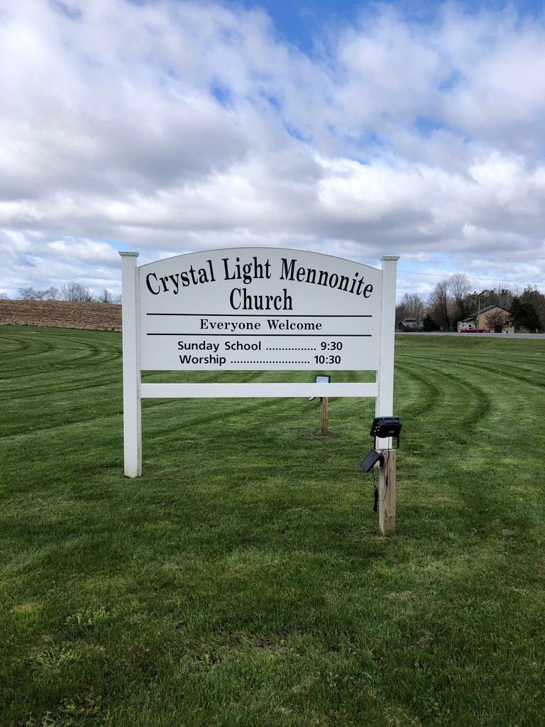
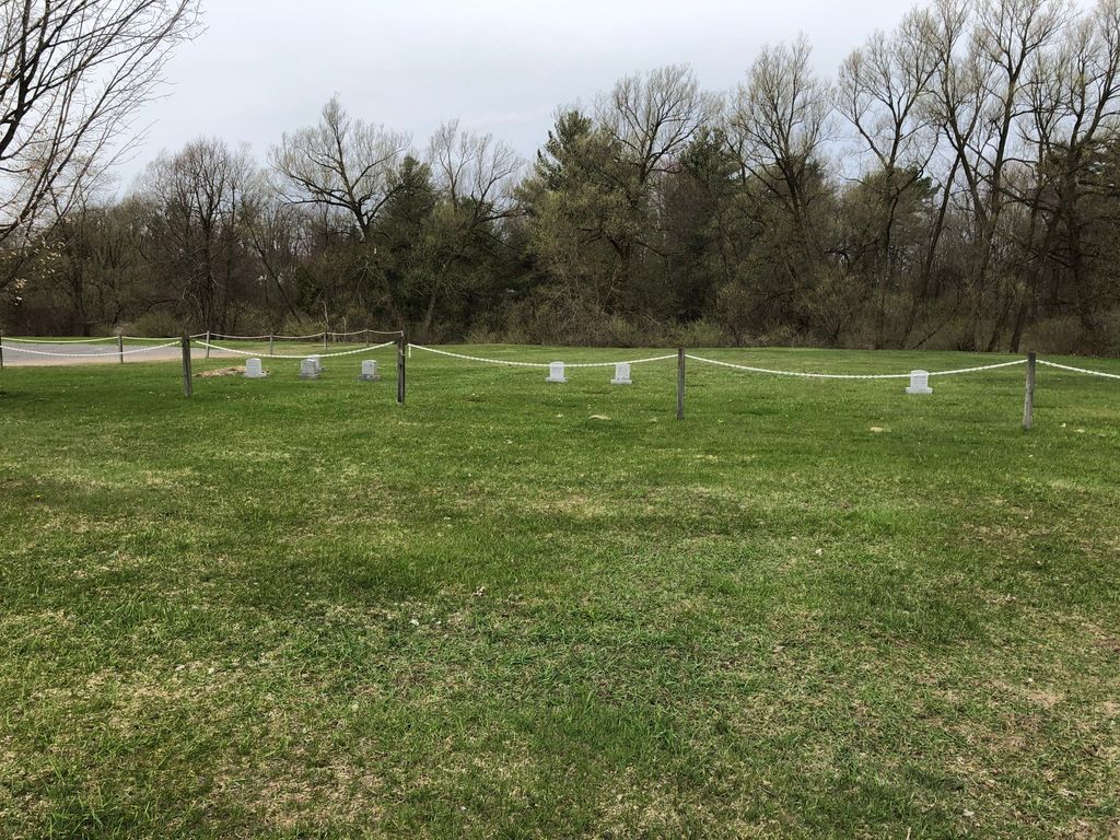
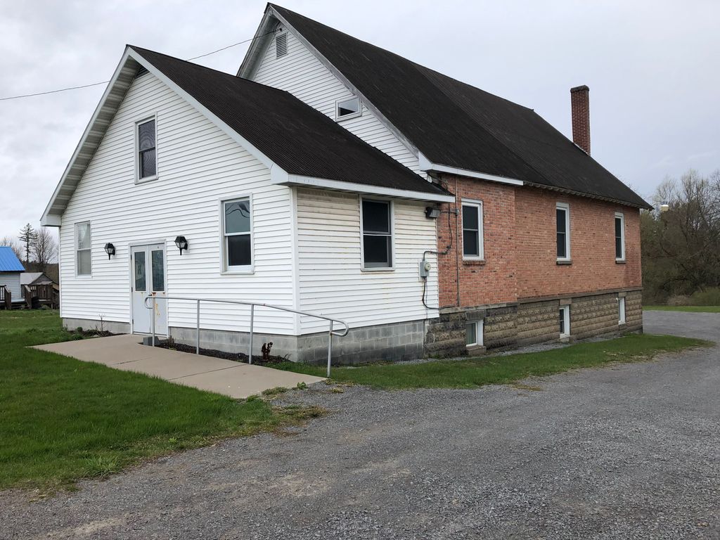
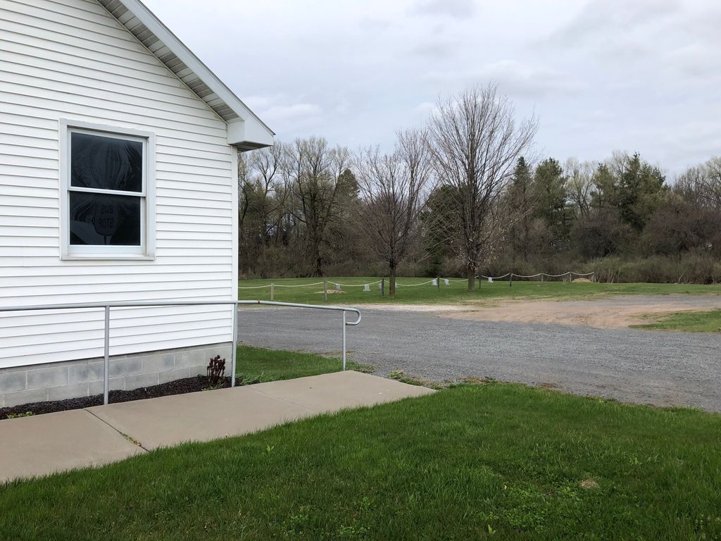
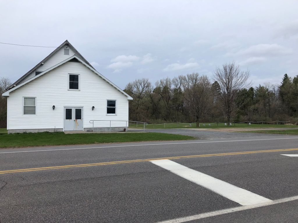
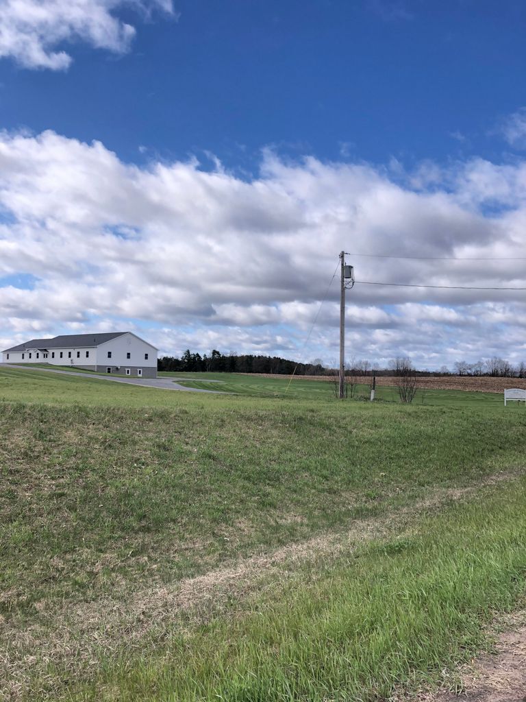
| Description | : | The Crystal Light Mennonite Church has two cemeteries. The first cemetery of one-quarter acre was established in 1972 located in New Bremen (Route 812) next to the present Iglesia Hispana Luz y Vida (Light and Life Hispanic Church). The first burial in the cemetery was in 1984. The second cemetery of one-quarter acre is located next to the newest Crystal Light Mennonite Church (2016) at 8161 Route 812 between New Bremen and Croghan. The first burial in the cemetery was in 2017. All of the grave markers are alike with emphasis on simplicity and uniformity. |
frequently asked questions (FAQ):
-
Where is Crystal Light Mennonite Church Cemetery?
Crystal Light Mennonite Church Cemetery is located at 8161 New York 812 New Bremen, Lewis County ,New York , 13367USA.
-
Crystal Light Mennonite Church Cemetery cemetery's updated grave count on graveviews.com?
0 memorials
-
Where are the coordinates of the Crystal Light Mennonite Church Cemetery?
Latitude: 43.8358530
Longitude: -75.4416550
Nearby Cemetories:
1. New Bremen Rural Cemetery
New Bremen, Lewis County, USA
Coordinate: 43.8376100, -75.4422400
2. First Mennonite Church Cemetery
New Bremen, Lewis County, USA
Coordinate: 43.8398460, -75.4262460
3. Saint Peters Catholic Cemetery
New Bremen, Lewis County, USA
Coordinate: 43.8388000, -75.4220900
4. Ebblie Cemetery
Lowville, Lewis County, USA
Coordinate: 43.8078003, -75.4897003
5. Seventh-Day Baptists Settlement Cemetery
Watson, Lewis County, USA
Coordinate: 43.8108330, -75.3883330
6. Croghan Apostolic Christian Cemetery
Croghan, Lewis County, USA
Coordinate: 43.8688090, -75.3914670
7. Riverside Cemetery
Beaver Falls, Lewis County, USA
Coordinate: 43.8854170, -75.4271670
8. Beaver Falls New Cemetery
Beaver Falls, Lewis County, USA
Coordinate: 43.8871390, -75.4400280
9. Stowe Square Cemetery
Lowville, Lewis County, USA
Coordinate: 43.8292900, -75.5141100
10. East Road Cemetery
Lowville, Lewis County, USA
Coordinate: 43.7872400, -75.4805200
11. Reed Fairwood Cemetery
Castorland, Lewis County, USA
Coordinate: 43.8514330, -75.5187330
12. Beaches Bridge Cemetery
Watson, Lewis County, USA
Coordinate: 43.7769012, -75.4317017
13. Old Quaker Cemetery
Lowville, Lewis County, USA
Coordinate: 43.7828700, -75.4824000
14. Hope Mennonite Cemetery
Watson, Lewis County, USA
Coordinate: 43.7750280, -75.4314270
15. Spafford's Landing Cemetery
Lowville, Lewis County, USA
Coordinate: 43.7748460, -75.4496560
16. Jackson Street Cemetery
Lowville, Lewis County, USA
Coordinate: 43.7828400, -75.4863300
17. Ferry Road Cemetery
Lowville, Lewis County, USA
Coordinate: 43.7985930, -75.5158620
18. Petries Corners Cemetery
Petries Corners, Lewis County, USA
Coordinate: 43.8037100, -75.3626600
19. Lowville Rural Cemetery
Lowville, Lewis County, USA
Coordinate: 43.7824200, -75.5004100
20. Basselin Cemetery
Croghan, Lewis County, USA
Coordinate: 43.8944016, -75.3921967
21. Lewis County Home Cemetery
Lowville, Lewis County, USA
Coordinate: 43.7812300, -75.5001200
22. Castorland Village Cemetery
Lewis County, USA
Coordinate: 43.8848410, -75.5144730
23. Wetmore Cemetery
Lewis County, USA
Coordinate: 43.8008003, -75.3544006
24. Old Landing Burial Ground
Lowville, Lewis County, USA
Coordinate: 43.7651600, -75.4614300