| Memorials | : | 3 |
| Location | : | Dalesville, Laurentides Region, Canada |
| Coordinate | : | 45.7148370, -74.4414250 |
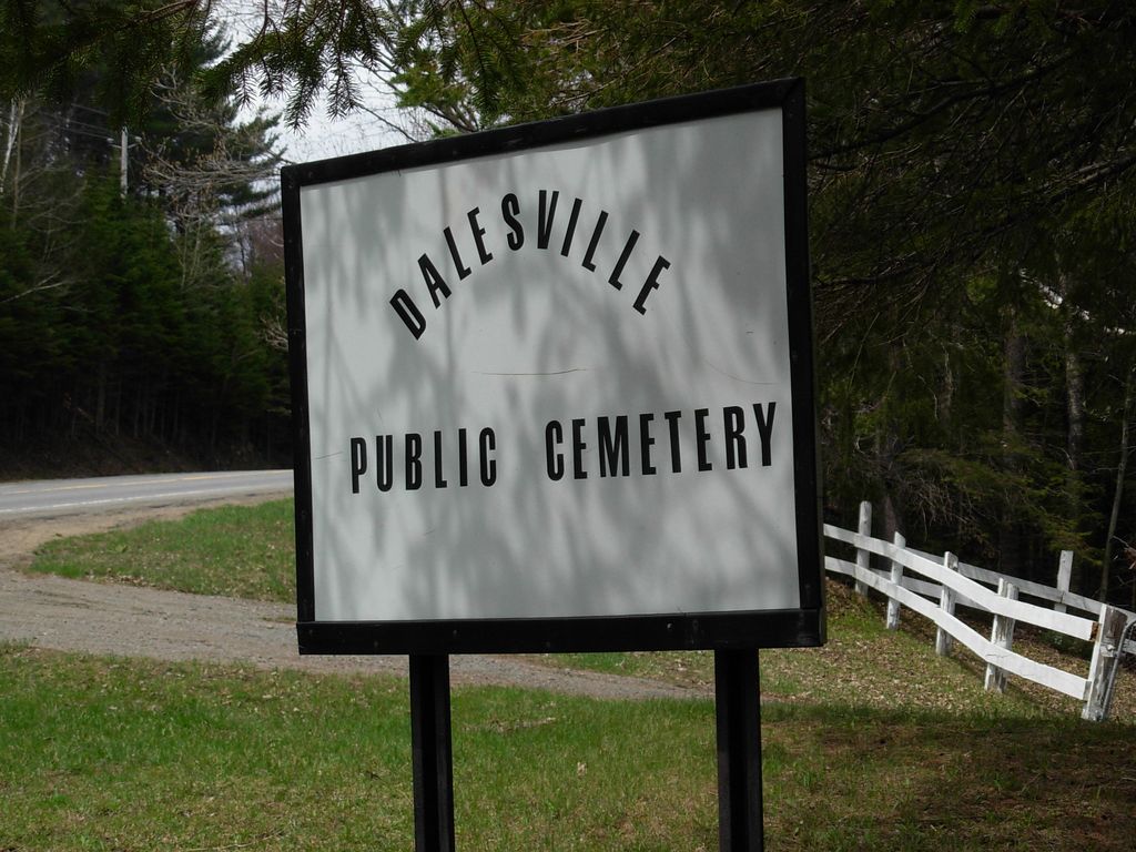
| Description | : | Dalesville Public Cemetery (sometimes referred to as Pine Hill Cemetery) is located on land donated by John McGibbon, who emigrated from Glenlyon, Perthshire, Scotland. Dalesville was founded by Dan Dale (1785-1865), who was born in Antrim, Northern Ireland. He built a sawmill around 1830, and added a flour mill in 1939. The oldest burial, that of the aforementioned John McGibbon, dates from March of 1831. |
frequently asked questions (FAQ):
-
Where is Dalesville Public Cemetery?
Dalesville Public Cemetery is located at North on Route 327; about 2 km west of the Ascent Silverson Dalesville, Laurentides Region ,Quebec ,Canada.
-
Dalesville Public Cemetery cemetery's updated grave count on graveviews.com?
3 memorials
-
Where are the coordinates of the Dalesville Public Cemetery?
Latitude: 45.7148370
Longitude: -74.4414250
Nearby Cemetories:
1. St-Louis-de-France Cemetery
Brownsburg, Laurentides Region, Canada
Coordinate: 45.6796943, -74.4270380
2. Edina Cemetery
Edina, Laurentides Region, Canada
Coordinate: 45.7246860, -74.5052260
3. Cimetière familial Robinson
Lac-Louisa, Laurentides Region, Canada
Coordinate: 45.7625350, -74.4235870
4. Ancien cimetière familial Matthews
Lac-Louisa, Laurentides Region, Canada
Coordinate: 45.7630920, -74.4127050
5. Ancien cimetière familial Vary
Lac-Louisa, Laurentides Region, Canada
Coordinate: 45.7727550, -74.4248050
6. Cimetière du Monastère orthodoxe
Brownsburg, Laurentides Region, Canada
Coordinate: 45.6869360, -74.5164480
7. Ancien cimetière familial Seale
Lac-Louisa, Laurentides Region, Canada
Coordinate: 45.7695900, -74.3892840
8. Cimetière du Monastère Orthodoxe
Lac-Louisa, Laurentides Region, Canada
Coordinate: 45.7674050, -74.3819120
9. Louisa Cemetery
Louisa, Laurentides Region, Canada
Coordinate: 45.7636900, -74.3651500
10. Cimetière Louisa (St-Aidans Church)
Lac-Louisa, Laurentides Region, Canada
Coordinate: 45.7641280, -74.3651810
11. McVicar Family Cemetery
Dunany, Laurentides Region, Canada
Coordinate: 45.7287770, -74.3334130
12. Ogdensburg Cemetery
Ogdensburg, Laurentides Region, Canada
Coordinate: 45.6560870, -74.5144370
13. Tombe du révérend Thomas Aiken
Lac-Louisa, Laurentides Region, Canada
Coordinate: 45.7672030, -74.3508860
14. Cimetière familial Parkes
Lachute, Laurentides Region, Canada
Coordinate: 45.7341520, -74.3145550
15. St Paul's Anglican Church Cemetery
Dunany, Laurentides Region, Canada
Coordinate: 45.7385890, -74.3151400
16. Saint-Philippe-d'Argenteuil Catholic Cemetery
Saint-Philippe-d'Argenteuil, Laurentides Region, Canada
Coordinate: 45.6239070, -74.4253940
17. Cimetière de St-Philippe
Saint-Philippe, Laurentides Region, Canada
Coordinate: 45.6232760, -74.4263670
18. Cimetière de Dunany
Dunany, Laurentides Region, Canada
Coordinate: 45.7401730, -74.3133430
19. Ancien cimetière (1er) catholique de Lachute
Lachute, Laurentides Region, Canada
Coordinate: 45.6542790, -74.3318660
20. Lachute Catholic Cemetery
Lachute, Laurentides Region, Canada
Coordinate: 45.6433300, -74.3452100
21. Ancien cimetière Mountain Church (Grenville)
Grenville-sur-la-Rouge, Laurentides Region, Canada
Coordinate: 45.6948560, -74.5823640
22. Lachute Protestant Cemetery
Lachute, Laurentides Region, Canada
Coordinate: 45.6592700, -74.3180900
23. Cimetière Scotch Road
Grenville-sur-la-Rouge, Laurentides Region, Canada
Coordinate: 45.6960060, -74.5863910
24. Scotch Road Cemetery
Grenville, Laurentides Region, Canada
Coordinate: 45.6958840, -74.5864820


