| Memorials | : | 4 |
| Location | : | Grenville, Laurentides Region, Canada |
| Coordinate | : | 45.6958840, -74.5864820 |
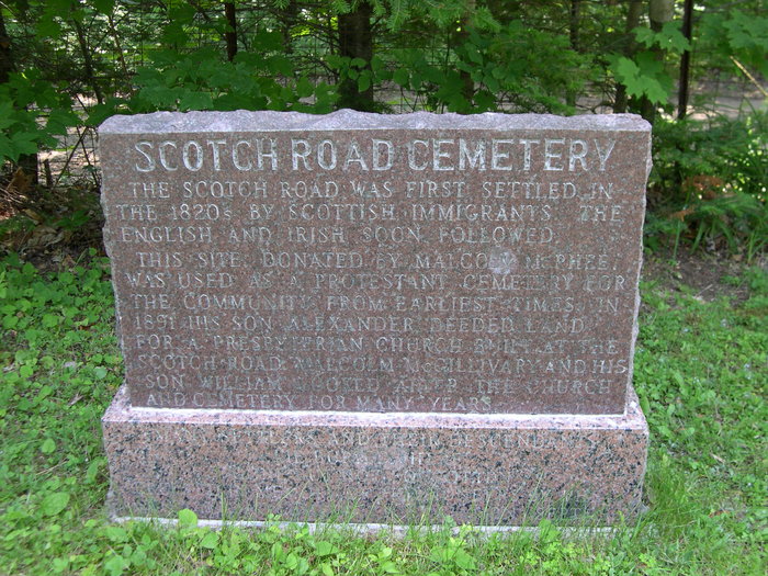
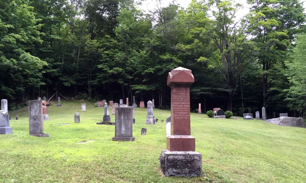
| Description | : | A community of pioneering Anglican families settled the Scotch Road Settlement in the 19th century and in 1851 built a wooden church called St. John's Anglican Church. The church and its adjoining cemetery were erected on the southern portion of Lot 8 in the seventh concession of the Township of Grenville. The land for the church and cemetery was given to the Anglican community by Malcolm McPhee and his wife Janet in the fall of 1848. The church was dismantled and relocated in the Stonefield hamlet near the Ottawa River in 1920. It was probably flooded during the opening... Read More |
frequently asked questions (FAQ):
-
Where is Scotch Road Cemetery?
Scotch Road Cemetery is located at Grenville, Laurentides Region ,Quebec ,Canada.
-
Scotch Road Cemetery cemetery's updated grave count on graveviews.com?
4 memorials
-
Where are the coordinates of the Scotch Road Cemetery?
Latitude: 45.6958840
Longitude: -74.5864820
Nearby Cemetories:
1. Cimetière Scotch Road
Grenville-sur-la-Rouge, Laurentides Region, Canada
Coordinate: 45.6960060, -74.5863910
2. Ancien cimetière Mountain Church (Grenville)
Grenville-sur-la-Rouge, Laurentides Region, Canada
Coordinate: 45.6948560, -74.5823640
3. Cimetière du Monastère orthodoxe
Brownsburg, Laurentides Region, Canada
Coordinate: 45.6869360, -74.5164480
4. Grenville Catholic Cemetery
Grenville, Laurentides Region, Canada
Coordinate: 45.6486800, -74.6208890
5. Calumet Cemetery
Grenville-sur-la-Rouge, Laurentides Region, Canada
Coordinate: 45.6489750, -74.6326360
6. Beauchamp Family Cemetery
Marelan, Laurentides Region, Canada
Coordinate: 45.6409520, -74.5633400
7. Cimetière protestant Beauchamp
Grenville-sur-la-Rouge, Laurentides Region, Canada
Coordinate: 45.6406150, -74.5631110
8. Edina Cemetery
Edina, Laurentides Region, Canada
Coordinate: 45.7246860, -74.5052260
9. Ogdensburg Cemetery
Ogdensburg, Laurentides Region, Canada
Coordinate: 45.6560870, -74.5144370
10. Saint Matthews Anglican Church Cemetery
Grenville, Laurentides Region, Canada
Coordinate: 45.6238100, -74.6006700
11. Cimetière St-Matthews
Grenville-sur-la-Rouge, Laurentides Region, Canada
Coordinate: 45.6235260, -74.6011440
12. Ancien cimetière (1er) de Grenville
Grenville Bay, Laurentides Region, Canada
Coordinate: 45.6169740, -74.5852470
13. Cimetière St-Mary's Anglican
Grenville-sur-la-Rouge, Laurentides Region, Canada
Coordinate: 45.7047370, -74.7213360
14. Saint Mary's Anglican Church Cemetery
Avoca, Laurentides Region, Canada
Coordinate: 45.7051170, -74.7218660
15. Saint Alphonse Cemetery
Hawkesbury, Prescott and Russell United Counties, Canada
Coordinate: 45.6006200, -74.5710600
16. Cimetière protestant de Kilmar
Kilmar, Laurentides Region, Canada
Coordinate: 45.7872560, -74.6322790
17. Kilmar Protestant Cemetery
Harrington, Laurentides Region, Canada
Coordinate: 45.7876860, -74.6325670
18. Hillside Cemetery
Hawkesbury, Prescott and Russell United Counties, Canada
Coordinate: 45.5994700, -74.5649700
19. Dalesville Public Cemetery
Dalesville, Laurentides Region, Canada
Coordinate: 45.7148370, -74.4414250
20. Avoca Cemetery
Grenville-sur-la-Rouge, Laurentides Region, Canada
Coordinate: 45.6850520, -74.7345060
21. Sandy Hill Founders Cemetery
Hawkesbury, Prescott and Russell United Counties, Canada
Coordinate: 45.5945830, -74.6268060
22. Harrington Protestant Cemetery
Harrington, Laurentides Region, Canada
Coordinate: 45.7933710, -74.6518370
23. Cameron Family Cemetery
Grenville-sur-la-Rouge, Laurentides Region, Canada
Coordinate: 45.6634530, -74.7396970
24. St-Louis-de-France Cemetery
Brownsburg, Laurentides Region, Canada
Coordinate: 45.6796943, -74.4270380


