
| Memorials | : | 0 |
| Location | : | Fairfield, Freestone County, USA |
| Coordinate | : | 31.7722990, -96.1330320 |
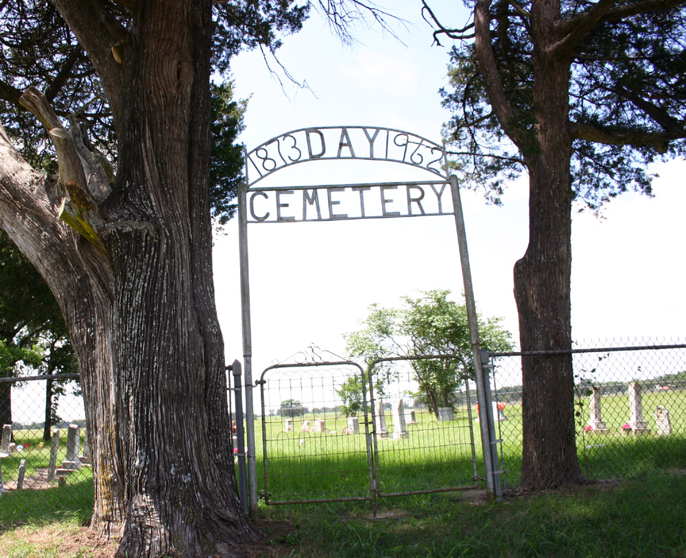
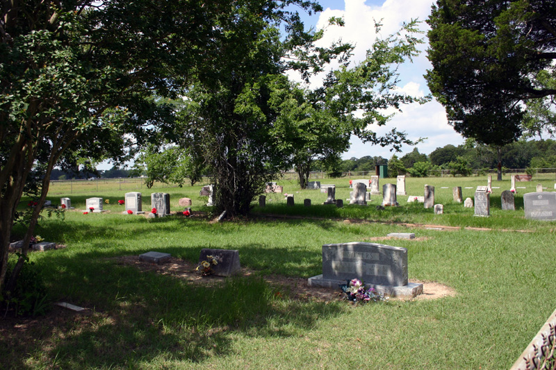
| Description | : | Also known as Ward Prairie Cemetery as listed in old obituaries of those buried here. Directions: From Fairfield go North on FM 488 to CR 228 it will be on the right side (South) of the road. A complete survey of the Day cemetery was last done on April 24, 2016, all found graves were added and photos uploaded to each memorial. I (Dave) have added additional info that I could find on some of the memorials. |
frequently asked questions (FAQ):
-
Where is Day Cemetery?
Day Cemetery is located at on CR 228 Fairfield, Freestone County ,Texas ,USA.
-
Day Cemetery cemetery's updated grave count on graveviews.com?
0 memorials
-
Where are the coordinates of the Day Cemetery?
Latitude: 31.7722990
Longitude: -96.1330320
Nearby Cemetories:
1. Hickory Grove Cemetery
Freestone County, USA
Coordinate: 31.7605991, -96.1228027
2. Lake Chapel Cemetery
Fairfield, Freestone County, USA
Coordinate: 31.7970200, -96.1403300
3. Bateman Cemetery
Fairfield, Freestone County, USA
Coordinate: 31.7775840, -96.1757070
4. Talley Cemetery
Fairfield, Freestone County, USA
Coordinate: 31.7564300, -96.1891570
5. Gordon Cemetery
Fairfield, Freestone County, USA
Coordinate: 31.7686520, -96.0739640
6. Chancellor Union Cemetery
Fairfield, Freestone County, USA
Coordinate: 31.7686005, -96.0727997
7. Huckaby Cemetery
Fairfield, Freestone County, USA
Coordinate: 31.7230400, -96.1065300
8. Fairfield Cemetery
Fairfield, Freestone County, USA
Coordinate: 31.7208870, -96.1536190
9. Fairfield Methodist Cemetery
Fairfield, Freestone County, USA
Coordinate: 31.7200000, -96.1520000
10. Fairfield Baptist Cemetery
Freestone County, USA
Coordinate: 31.7169110, -96.1462640
11. Day Cemetery
Fairfield, Freestone County, USA
Coordinate: 31.7413998, -96.0772018
12. Old Anglin Cemetery
Freestone County, USA
Coordinate: 31.8318996, -96.1718979
13. Stewards Mill Cemetery
Stewards Mill, Freestone County, USA
Coordinate: 31.8219370, -96.2026960
14. Hope Well Methodist Episcopal Church Cemetery
Fairfield, Freestone County, USA
Coordinate: 31.8219370, -96.2026960
15. Johnson Cemetery
Freestone County, USA
Coordinate: 31.7831001, -96.2328033
16. Rehoboth Cemetery
Young, Freestone County, USA
Coordinate: 31.8556004, -96.0832977
17. Post Oak Cemetery
Fairfield, Freestone County, USA
Coordinate: 31.6787760, -96.1349790
18. Rhode Island Cemetery
Stewards Mill, Freestone County, USA
Coordinate: 31.8149640, -96.2315230
19. Antioch Cemetery
Fairfield, Freestone County, USA
Coordinate: 31.7076640, -96.0452010
20. George Cemetery
Freestone County, USA
Coordinate: 31.7005997, -96.2275009
21. Oak Grove Cemetery
Stewards Mill, Freestone County, USA
Coordinate: 31.8563995, -96.2161026
22. Mount Zion Cemetery
Freestone County, USA
Coordinate: 31.6886005, -96.0485992
23. Hopson Burleson Memorial Cemetery
Freestone County, USA
Coordinate: 31.8046550, -96.2576850
24. Bonner Cemetery
Fairfield, Freestone County, USA
Coordinate: 31.8656080, -96.2246870