| Memorials | : | 0 |
| Location | : | Fairfield, Freestone County, USA |
| Coordinate | : | 31.7564300, -96.1891570 |
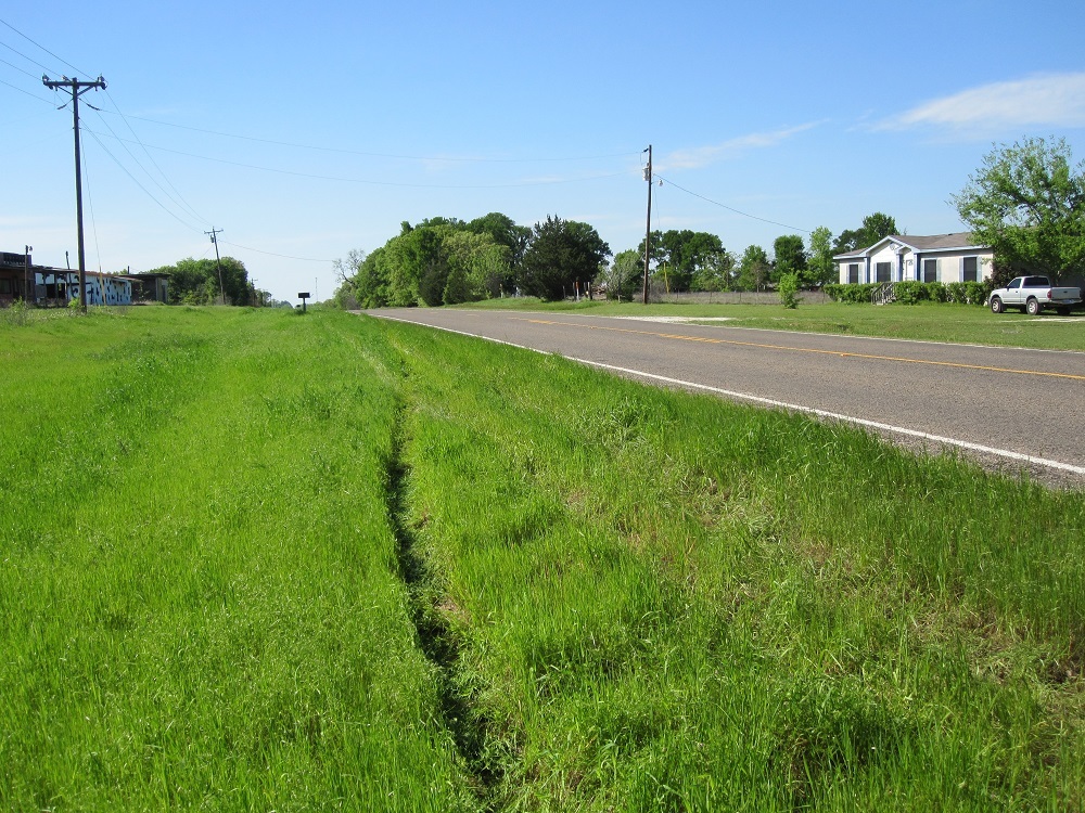
| Description | : | The cemetery is completely overgrown and has no surrounding fence. The markers are bad shape with many toppled or broken from falling tree branches or old dead trees. There is no sign for the cemetery. Location: Located about 2 miles N of Fairfield. Barely 100 yards west of Hwy 75. Directions: From Fairfield, go north on Hwy 75 to Stewards Mill. Go past the library and school and the new intermediate school in town. Go past Cooper Farms orchard (established in the mid to late 1960s) that still sells peaches. ... Read More |
frequently asked questions (FAQ):
-
Where is Talley Cemetery?
Talley Cemetery is located at Fairfield, Freestone County ,Texas ,USA.
-
Talley Cemetery cemetery's updated grave count on graveviews.com?
0 memorials
-
Where are the coordinates of the Talley Cemetery?
Latitude: 31.7564300
Longitude: -96.1891570
Nearby Cemetories:
1. Bateman Cemetery
Fairfield, Freestone County, USA
Coordinate: 31.7775840, -96.1757070
2. Johnson Cemetery
Freestone County, USA
Coordinate: 31.7831001, -96.2328033
3. Fairfield Cemetery
Fairfield, Freestone County, USA
Coordinate: 31.7208870, -96.1536190
4. Fairfield Methodist Cemetery
Fairfield, Freestone County, USA
Coordinate: 31.7200000, -96.1520000
5. Day Cemetery
Fairfield, Freestone County, USA
Coordinate: 31.7722990, -96.1330320
6. Fairfield Baptist Cemetery
Freestone County, USA
Coordinate: 31.7169110, -96.1462640
7. Hickory Grove Cemetery
Freestone County, USA
Coordinate: 31.7605991, -96.1228027
8. Lake Chapel Cemetery
Fairfield, Freestone County, USA
Coordinate: 31.7970200, -96.1403300
9. George Cemetery
Freestone County, USA
Coordinate: 31.7005997, -96.2275009
10. Stewards Mill Cemetery
Stewards Mill, Freestone County, USA
Coordinate: 31.8219370, -96.2026960
11. Hope Well Methodist Episcopal Church Cemetery
Fairfield, Freestone County, USA
Coordinate: 31.8219370, -96.2026960
12. Rhode Island Cemetery
Stewards Mill, Freestone County, USA
Coordinate: 31.8149640, -96.2315230
13. Hopson Burleson Memorial Cemetery
Freestone County, USA
Coordinate: 31.8046550, -96.2576850
14. Old Anglin Cemetery
Freestone County, USA
Coordinate: 31.8318996, -96.1718979
15. Huckaby Cemetery
Fairfield, Freestone County, USA
Coordinate: 31.7230400, -96.1065300
16. Carter Family Cemetery
Fairfield, Freestone County, USA
Coordinate: 31.7487290, -96.2834230
17. Post Oak Cemetery
Fairfield, Freestone County, USA
Coordinate: 31.6787760, -96.1349790
18. Driver Cemetery
Teague, Freestone County, USA
Coordinate: 31.6664009, -96.2230988
19. Day Cemetery
Fairfield, Freestone County, USA
Coordinate: 31.7413998, -96.0772018
20. Gordon Cemetery
Fairfield, Freestone County, USA
Coordinate: 31.7686520, -96.0739640
21. Chancellor Union Cemetery
Fairfield, Freestone County, USA
Coordinate: 31.7686005, -96.0727997
22. Oak Grove Cemetery
Stewards Mill, Freestone County, USA
Coordinate: 31.8563995, -96.2161026
23. J. I. Riddle Farm Cemetery
Freestone County, USA
Coordinate: 31.7255993, -96.3161011
24. Bonner Cemetery
Fairfield, Freestone County, USA
Coordinate: 31.8656080, -96.2246870

