
| Memorials | : | 0 |
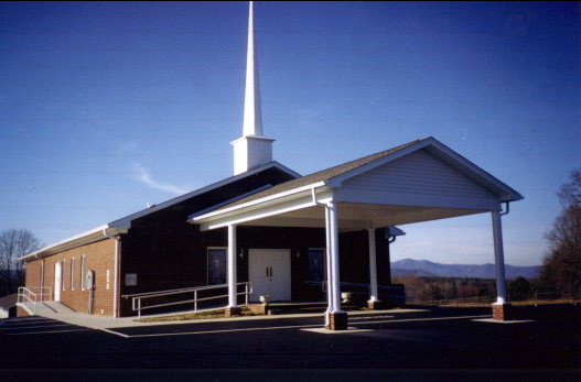
| Location | : | Salemfork, Surry County, USA |
| Coordinate | : | 36.3996270, -80.7895910 |
| Description | : | From the intersection of White Dirt Road and Zephyr Road, travel approximately 0.33 miles on White Dirt Road; the church will be on the left. |
frequently asked questions (FAQ):
-
Where is Dayspring Baptist Chapel Cemetery?
Dayspring Baptist Chapel Cemetery is located at 2286 White Dirt Road Salemfork, Surry County ,North Carolina , 27017 USA.
-
Dayspring Baptist Chapel Cemetery cemetery's updated grave count on graveviews.com?
0 memorials
-
Where are the coordinates of the Dayspring Baptist Chapel Cemetery?
Latitude: 36.3996270
Longitude: -80.7895910
Nearby Cemetories:
1. Salem Fork Christian Church Cemetery
Salemfork, Surry County, USA
Coordinate: 36.3950386, -80.7884827
2. Jesse Venable Family Cemetery
Surry County, USA
Coordinate: 36.4050000, -80.7925000
3. Salem Fork Baptist Church Cemetery
Salemfork, Surry County, USA
Coordinate: 36.3835440, -80.7758290
4. Pleasant Union Baptist Church Cemetery
Salemfork, Surry County, USA
Coordinate: 36.4208060, -80.8063610
5. Crossroads Missionary Baptist Church Cemetery
Salemfork, Surry County, USA
Coordinate: 36.4212780, -80.8057500
6. Lineberry Family Cemetery
Dobson, Surry County, USA
Coordinate: 36.3961300, -80.8276300
7. Central View Missionary Baptist Cemetery
Dobson, Surry County, USA
Coordinate: 36.4272232, -80.7711639
8. Payne Family Cemetery
Dobson, Surry County, USA
Coordinate: 36.4130700, -80.7539600
9. Riggans Family Cemetery
Salemfork, Surry County, USA
Coordinate: 36.4314420, -80.7896220
10. Little Vine Primitive Baptist Cemetery
Dobson, Surry County, USA
Coordinate: 36.3961372, -80.7490540
11. Mitchell Family Cemetery
Dobson, Surry County, USA
Coordinate: 36.4335920, -80.7815160
12. Zephyr Cemetery
Elkin, Surry County, USA
Coordinate: 36.3669170, -80.8140280
13. Cox Family Cemetery
Dobson, Surry County, USA
Coordinate: 36.4391700, -80.7983300
14. Mann Family Cemetery
Elkin, Surry County, USA
Coordinate: 36.3656990, -80.8189490
15. Beamer Family Cemetery
Surry County, USA
Coordinate: 36.4397530, -80.7754330
16. Llewellyn Cemetery
Dobson, Surry County, USA
Coordinate: 36.4425690, -80.7781150
17. Speer Family Cemetery
Mount Airy, Surry County, USA
Coordinate: 36.4443333, -80.7945000
18. Nixon Family Cemetery
Surry County, USA
Coordinate: 36.4445830, -80.7949720
19. Cave Cemetery
Dobson, Surry County, USA
Coordinate: 36.3784110, -80.7380100
20. Smith-Jennings Family Cemetery
Elkin Township, Surry County, USA
Coordinate: 36.3736616, -80.8377105
21. Drewery Hodges Cemetery
Dobson, Surry County, USA
Coordinate: 36.4438900, -80.7653900
22. New Hope Baptist Church Cemetery
New Hope, Surry County, USA
Coordinate: 36.4404170, -80.7542700
23. Snow Hill Baptist Cemetery
Dobson, Surry County, USA
Coordinate: 36.3508606, -80.7758636
24. Welcome View Baptist Church Cemetery
Union Cross, Surry County, USA
Coordinate: 36.3607216, -80.7496643