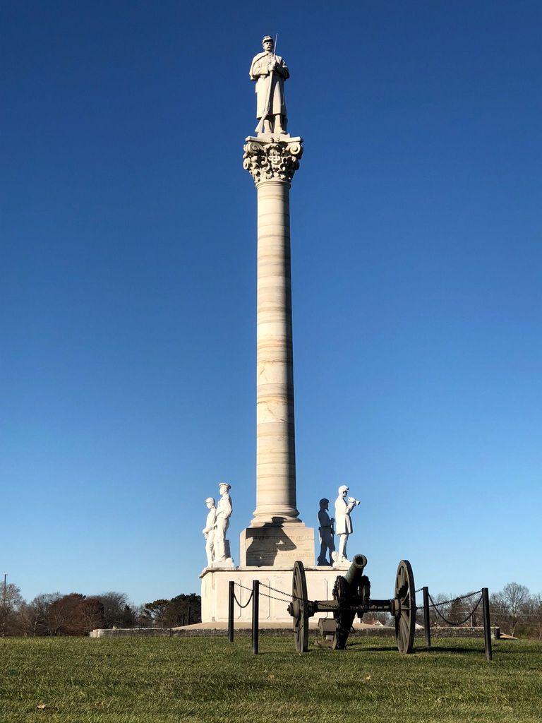
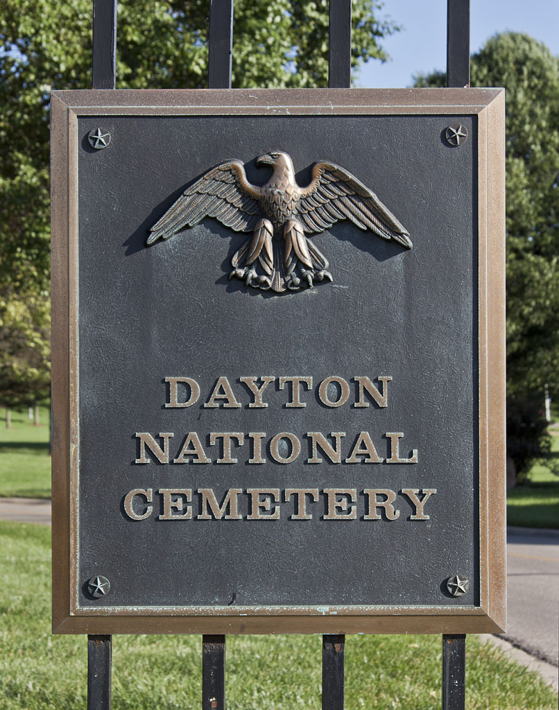
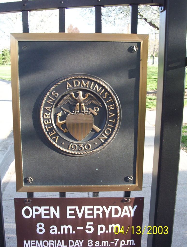
| Memorials | : | 1808 |
| Location | : | Dayton, Montgomery County, USA |
| Phone | : | 937-268-2221 |
| Website | : | www.cem.va.gov/cems/nchp/dayton.asp |
| Coordinate | : | 39.7482224, -84.2591705 |
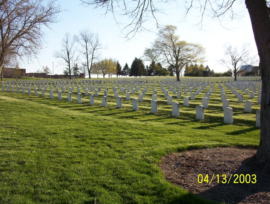
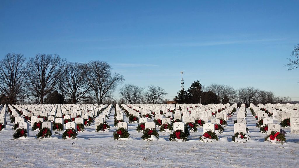
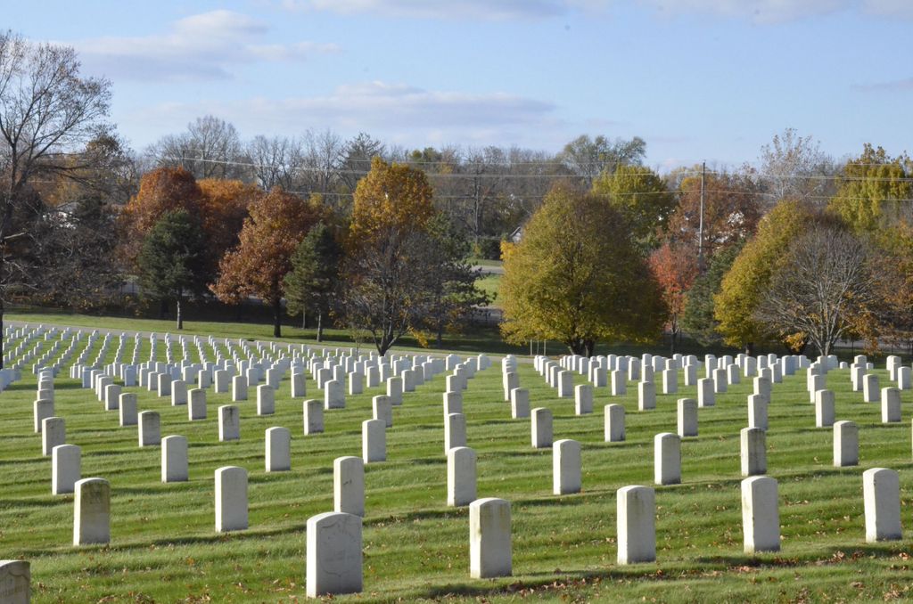
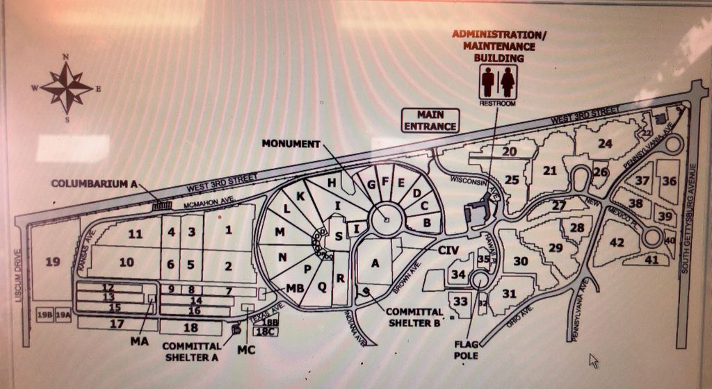
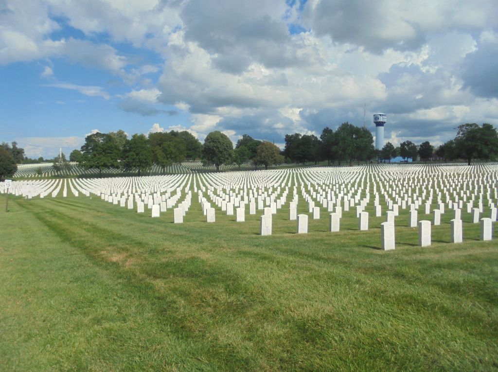
| Description | : | FAX: 937-268-2225 Dayton National Cemetery was established in 1867 as a place to inter veterans who died while under the care of the Central Branch of the National Asylum for Disabled Volunteer Soldiers and Seamen (later re-named the National Home for Disabled Volunteer Soldiers). The first interment took place on September 11, 1867 for Cornelius Solly, a Civil War veteran who died while being treated at the asylum. A tunnel leading from the hospital morgue to the cemetery was constructed in the 1870's and used to transport the remains of deceased veterans until the early 20th century. Although the... Read More |
frequently asked questions (FAQ):
-
Where is Dayton National Cemetery?
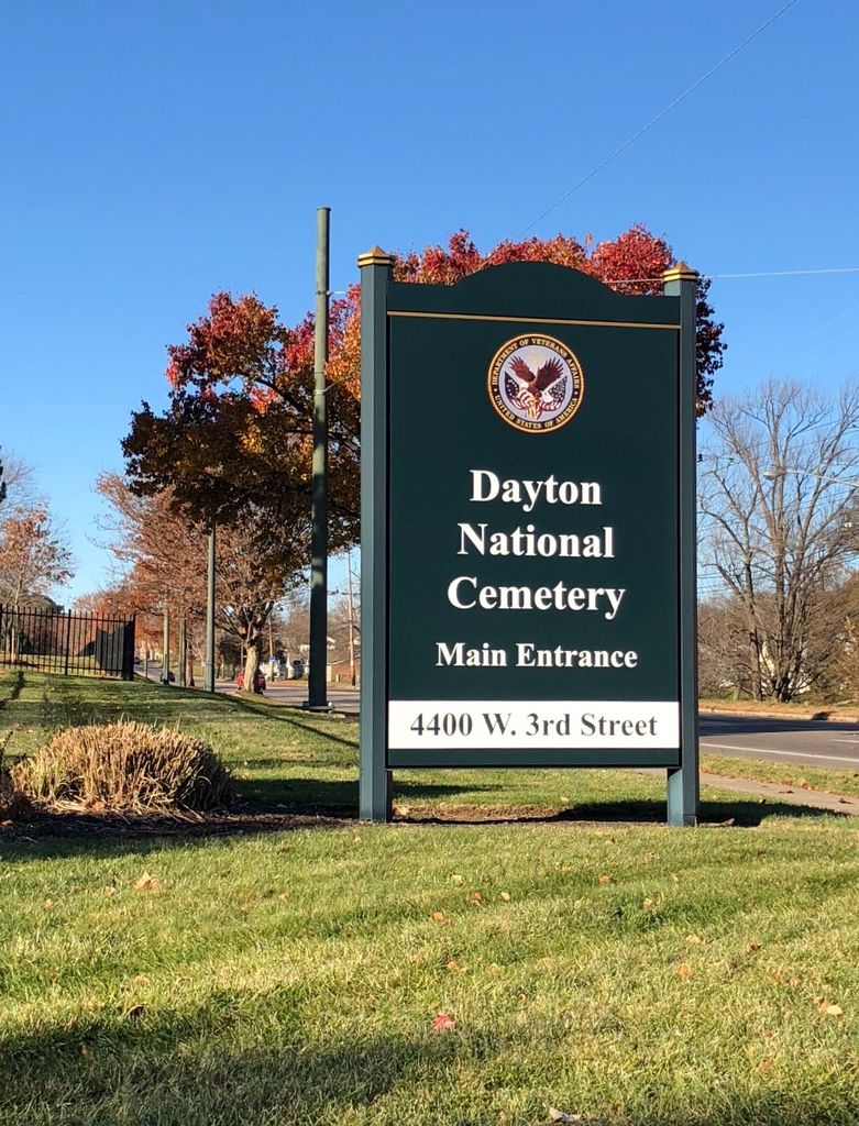
Dayton National Cemetery is located at 4400 West 3rd Street Dayton, Montgomery County ,Ohio , 45428-1008USA.
-
Dayton National Cemetery cemetery's updated grave count on graveviews.com?
1786 memorials
-
Where are the coordinates of the Dayton National Cemetery?
Latitude: 39.7482224
Longitude: -84.2591705
Nearby Cemetories:
1. Kinsey-Wolf Family Cemetery
Dayton, Montgomery County, USA
Coordinate: 39.7405220, -84.2540900
2. County Infirmary Cemetery
Drexel, Montgomery County, USA
Coordinate: 39.7383900, -84.2827200
3. Westmont Cemetery
Dayton, Montgomery County, USA
Coordinate: 39.7247009, -84.2453003
4. New Greencastle Cemetery
Dayton, Montgomery County, USA
Coordinate: 39.7346992, -84.2272034
5. Turner Cemetery
Montgomery County, USA
Coordinate: 39.7658005, -84.2956009
6. Old Greencastle Cemetery
Dayton, Montgomery County, USA
Coordinate: 39.7370000, -84.2143900
7. Bear Creek-Hillgrove Cemetery
Dayton, Montgomery County, USA
Coordinate: 39.7494011, -84.3071976
8. Lower Miami Cemetery
Dayton, Montgomery County, USA
Coordinate: 39.7121124, -84.2772903
9. Kaylor Family Cemetery
Frytown, Montgomery County, USA
Coordinate: 39.7086110, -84.2616670
10. Fort McKinley Cemetery
Dayton, Montgomery County, USA
Coordinate: 39.7976570, -84.2547302
11. Dayton Presbyterian and Methodist Graveyard (Defun
Dayton, Montgomery County, USA
Coordinate: 39.7558670, -84.1933820
12. Jefferson View Cemetery
Dayton, Montgomery County, USA
Coordinate: 39.7141304, -84.3090515
13. Rohrer Cemetery
Jefferson Township, Montgomery County, USA
Coordinate: 39.7094170, -84.3041940
14. Christ Episcopal Church Columbarium
Dayton, Montgomery County, USA
Coordinate: 39.7620240, -84.1937090
15. Calvary Cemetery
Dayton, Montgomery County, USA
Coordinate: 39.7248993, -84.1979980
16. Saint Henrys Cemetery
Dayton, Montgomery County, USA
Coordinate: 39.7450150, -84.1887630
17. Beth Abraham Cemetery
Oakwood, Montgomery County, USA
Coordinate: 39.7291985, -84.1919022
18. Iams Cemetery
Trotwood, Montgomery County, USA
Coordinate: 39.7864820, -84.3113620
19. Riverview Cemetery
Dayton, Montgomery County, USA
Coordinate: 39.7299995, -84.1908035
20. Liberty United Methodist Church Cemetery
Liberty, Montgomery County, USA
Coordinate: 39.7183330, -84.3243000
21. Woodland Cemetery and Arboretum
Dayton, Montgomery County, USA
Coordinate: 39.7428840, -84.1773210
22. Salem Heights Cemetery
Trotwood, Montgomery County, USA
Coordinate: 39.8125700, -84.2732500
23. Nicholas Cemetery
Montgomery County, USA
Coordinate: 39.7092018, -84.3283005
24. Zion Cemetery
Moraine, Montgomery County, USA
Coordinate: 39.6931877, -84.2118378

