| Memorials | : | 203 |
| Location | : | Dayton, Montgomery County, USA |
| Coordinate | : | 39.7346992, -84.2272034 |
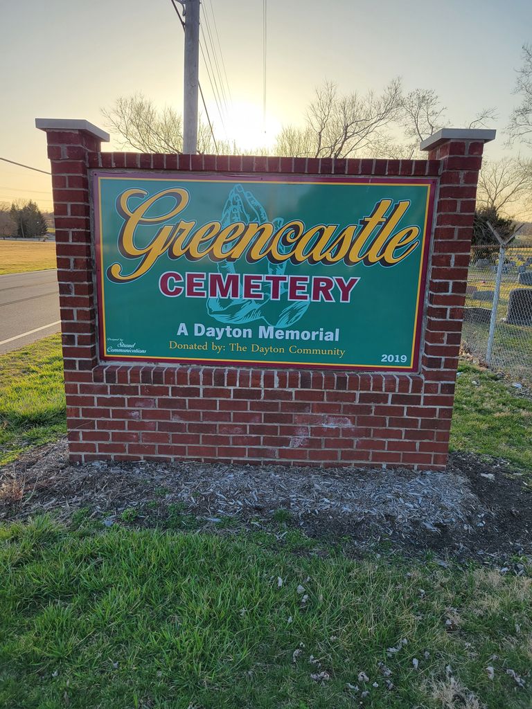
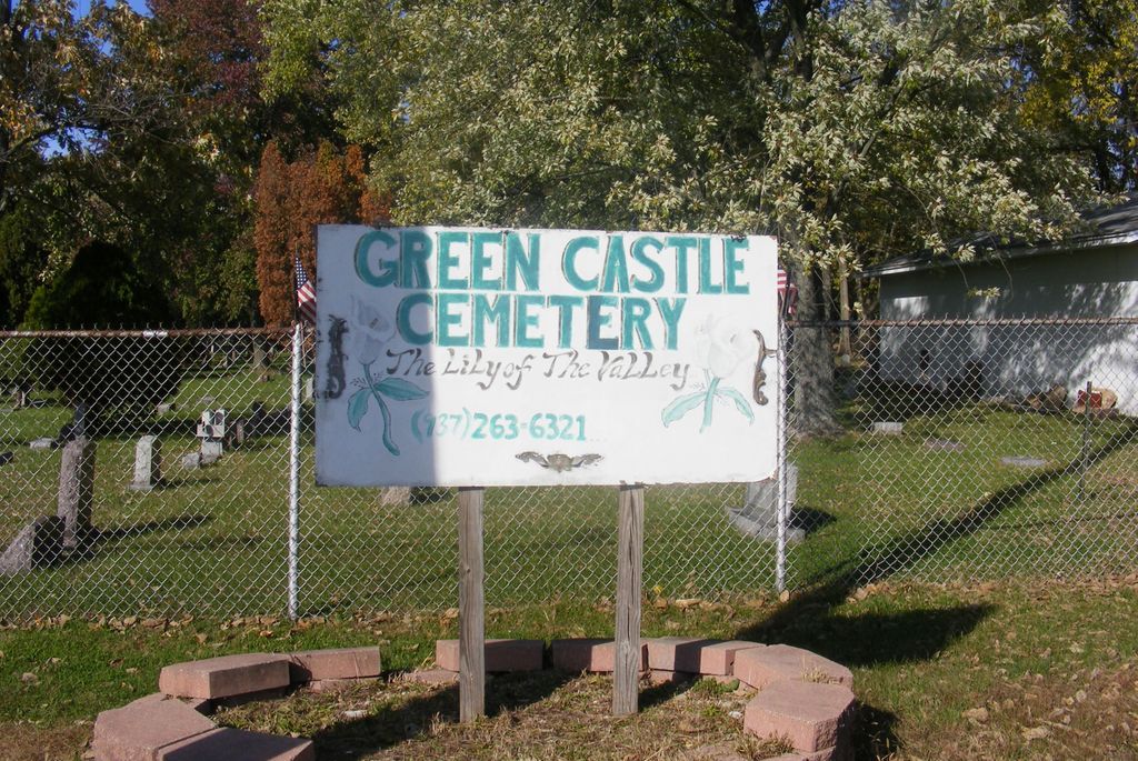
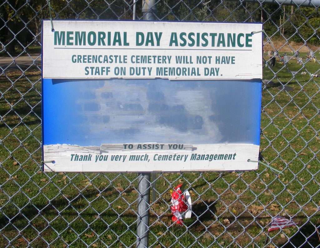
| Description | : | The cemetery is located on the north side of Nicholas Road about 0.1 miles west of its intersection with Danner Avenue. The northern boundary of the cemetery is Richley Avenue. The cemetery is located in the City of Dayton, Montgomery County, Ohio, and is # 8283 (New Greencastle Cemetery / Harrison Township Cemetery / Greencastle Cemetery) in “Ohio Cemeteries 1803-2003”, compiled by the Ohio Genealogical Society. The cemetery is registered with the Ohio Division of Real Estate and Professional Licensing (ODRE) as Greencastle Cemetery with registration license number CRC.0000983206. The U.S. Geological Survey (USGS) Geographic Names Information System... Read More |
frequently asked questions (FAQ):
-
Where is New Greencastle Cemetery?
New Greencastle Cemetery is located at 2045 Nicholas Road Dayton, Montgomery County ,Ohio , 45418USA.
-
New Greencastle Cemetery cemetery's updated grave count on graveviews.com?
201 memorials
-
Where are the coordinates of the New Greencastle Cemetery?
Latitude: 39.7346992
Longitude: -84.2272034
Nearby Cemetories:
1. Old Greencastle Cemetery
Dayton, Montgomery County, USA
Coordinate: 39.7370000, -84.2143900
2. Westmont Cemetery
Dayton, Montgomery County, USA
Coordinate: 39.7247009, -84.2453003
3. Kinsey-Wolf Family Cemetery
Dayton, Montgomery County, USA
Coordinate: 39.7405220, -84.2540900
4. Calvary Cemetery
Dayton, Montgomery County, USA
Coordinate: 39.7248993, -84.1979980
5. Beth Abraham Cemetery
Oakwood, Montgomery County, USA
Coordinate: 39.7291985, -84.1919022
6. Dayton National Cemetery
Dayton, Montgomery County, USA
Coordinate: 39.7482224, -84.2591705
7. Riverview Cemetery
Dayton, Montgomery County, USA
Coordinate: 39.7299995, -84.1908035
8. Saint Henrys Cemetery
Dayton, Montgomery County, USA
Coordinate: 39.7450150, -84.1887630
9. Dayton Presbyterian and Methodist Graveyard (Defun
Dayton, Montgomery County, USA
Coordinate: 39.7558670, -84.1933820
10. Kaylor Family Cemetery
Frytown, Montgomery County, USA
Coordinate: 39.7086110, -84.2616670
11. Christ Episcopal Church Columbarium
Dayton, Montgomery County, USA
Coordinate: 39.7620240, -84.1937090
12. Woodland Cemetery and Arboretum
Dayton, Montgomery County, USA
Coordinate: 39.7428840, -84.1773210
13. Saint Paul's Episcopal Church Columbarium
Oakwood, Montgomery County, USA
Coordinate: 39.7249780, -84.1747480
14. Marianist Brothers Cemetery
Dayton, Montgomery County, USA
Coordinate: 39.7385700, -84.1733500
15. County Infirmary Cemetery
Drexel, Montgomery County, USA
Coordinate: 39.7383900, -84.2827200
16. Zion Cemetery
Moraine, Montgomery County, USA
Coordinate: 39.6931877, -84.2118378
17. Lower Miami Cemetery
Dayton, Montgomery County, USA
Coordinate: 39.7121124, -84.2772903
18. Turner Cemetery
Montgomery County, USA
Coordinate: 39.7658005, -84.2956009
19. Bear Creek-Hillgrove Cemetery
Dayton, Montgomery County, USA
Coordinate: 39.7494011, -84.3071976
20. Rohrer Cemetery
Jefferson Township, Montgomery County, USA
Coordinate: 39.7094170, -84.3041940
21. Evergreen Cemetery
West Carrollton City, Montgomery County, USA
Coordinate: 39.6744003, -84.2585983
22. Jefferson View Cemetery
Dayton, Montgomery County, USA
Coordinate: 39.7141304, -84.3090515
23. Fort McKinley Cemetery
Dayton, Montgomery County, USA
Coordinate: 39.7976570, -84.2547302
24. Davids Cemetery
Kettering, Montgomery County, USA
Coordinate: 39.6789017, -84.1697006


