
| Memorials | : | 2 |
| Location | : | Clay County, USA |
| Coordinate | : | 33.9255350, -98.3460510 |
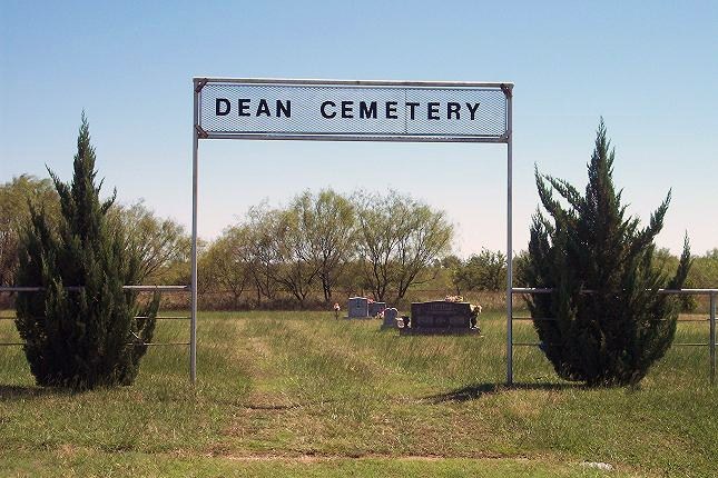
| Description | : | The First Baptist Church in Dean used to be called Mabeldean Baptist Church. The cemetery used to be called Mabeldean Cemetery and now is just called Dean Cemetery. The Dean Cemetery is located on FM 2393 (Jolly Exit) off of 287. Go north on 2393 about 5 miles from Jolly and the cemetery is on the east side of the road. |
frequently asked questions (FAQ):
-
Where is Dean Cemetery?
Dean Cemetery is located at Clay County ,Texas ,USA.
-
Dean Cemetery cemetery's updated grave count on graveviews.com?
2 memorials
-
Where are the coordinates of the Dean Cemetery?
Latitude: 33.9255350
Longitude: -98.3460510
Nearby Cemetories:
1. Kempner Cemetery
Dean, Clay County, USA
Coordinate: 33.9268990, -98.3897018
2. White Hill Cemetery
Jolly, Clay County, USA
Coordinate: 33.8142014, -98.3649979
3. Petrolia Cemetery
Petrolia, Clay County, USA
Coordinate: 34.0039690, -98.2332660
4. Thornberry Cemetery
Thornberry, Clay County, USA
Coordinate: 34.0544910, -98.3933890
5. Hope Cemetery
Henrietta, Clay County, USA
Coordinate: 33.8200100, -98.2027500
6. Charlie Cemetery
Charlie, Clay County, USA
Coordinate: 34.0858000, -98.3211050
7. Cowboy Church Cemetery
Henrietta, Clay County, USA
Coordinate: 33.8038750, -98.2110310
8. Hurnville Cemetery
Hurnville, Clay County, USA
Coordinate: 33.9708400, -98.1455470
9. Riverside Cemetery
Byers, Clay County, USA
Coordinate: 34.0620000, -98.2060000
10. Cambridge Cemetery
Clay County, USA
Coordinate: 33.8293991, -98.1410980
11. Bowman Cemetery
Bowman, Archer County, USA
Coordinate: 33.8244019, -98.5481033
12. Lake Creek Cemetery
Archer County, USA
Coordinate: 33.7480480, -98.4724680
13. Benvanue Cemetery
Byers, Clay County, USA
Coordinate: 34.0568730, -98.1509390
14. Saint Michaels Cemetery
Henrietta, Clay County, USA
Coordinate: 33.7408880, -98.2008610
15. Halsell Cemetery
Henrietta, Clay County, USA
Coordinate: 33.7033005, -98.3460999
16. Riverland Cemetery
Stanfield, Clay County, USA
Coordinate: 33.9836006, -98.0864029
17. Wilkerson Cemetery
Randlett, Cotton County, USA
Coordinate: 34.1157990, -98.5061035
18. Vieth Family Cemetery
Henrietta, Clay County, USA
Coordinate: 33.7425600, -98.1409500
19. Fairview Cemetery
Randlett, Cotton County, USA
Coordinate: 34.1730995, -98.4332962
20. Cullers Cemetery
Clay County, USA
Coordinate: 33.7263985, -98.1224976
21. Bluegrove Cemetery
Bluegrove, Clay County, USA
Coordinate: 33.6585999, -98.2305984
22. Lone Star Cemetery
Hooper, Cotton County, USA
Coordinate: 34.1758080, -98.1758881
23. Saint Boniface Cemetery
Scotland, Archer County, USA
Coordinate: 33.6569550, -98.4696800
24. Deer Creek Cemetery
Deer Creek, Clay County, USA
Coordinate: 33.6349983, -98.3031006