
| Memorials | : | 0 |
| Location | : | Stanfield, Clay County, USA |
| Coordinate | : | 33.9836006, -98.0864029 |
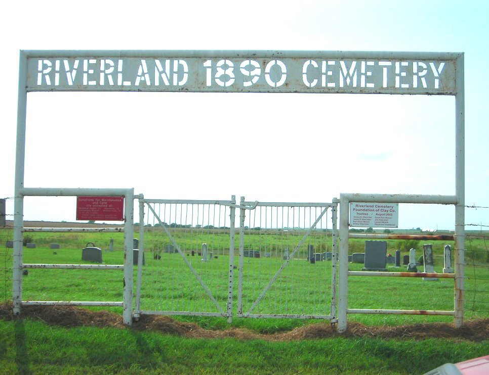
| Description | : | RIVERLAND, TEXAS. Riverland is a mile from the Red River and sixteen miles northeast of Henrietta in northern Clay County. Pioneers in Clay County had to leave the area in 1862 due to Indian attacks that followed removal of the army during the Civil War. Riverland probably was established when the settlers came back around 1870. In 1875 the community obtained a post office with John Jones as postmaster. During the 1880s Riverland had fifty people, a doctor, a dentist, and many local tradesmen. Some residents were Russian Germans. Riverland lost its post office in August 1905. In the early 1930s the town had a two-room, seven-grade school,... Read More |
frequently asked questions (FAQ):
-
Where is Riverland Cemetery?
Riverland Cemetery is located at 10 miles east of Petrolia Stanfield, Clay County ,Texas ,USA.
-
Riverland Cemetery cemetery's updated grave count on graveviews.com?
0 memorials
-
Where are the coordinates of the Riverland Cemetery?
Latitude: 33.9836006
Longitude: -98.0864029
Nearby Cemetories:
1. Hurnville Cemetery
Hurnville, Clay County, USA
Coordinate: 33.9708400, -98.1455470
2. Benvanue Cemetery
Byers, Clay County, USA
Coordinate: 34.0568730, -98.1509390
3. Old Ryan Cemetery
Ryan, Jefferson County, USA
Coordinate: 34.0289760, -97.9743580
4. Ryan Cemetery
Ryan, Jefferson County, USA
Coordinate: 34.0102997, -97.9411011
5. Petrolia Cemetery
Petrolia, Clay County, USA
Coordinate: 34.0039690, -98.2332660
6. Riverside Cemetery
Byers, Clay County, USA
Coordinate: 34.0620000, -98.2060000
7. Benton Cemetery
Ryan, Jefferson County, USA
Coordinate: 33.9678090, -97.9311980
8. Sugden Cemetery
Sugden, Jefferson County, USA
Coordinate: 34.0978012, -97.9807968
9. Cambridge Cemetery
Clay County, USA
Coordinate: 33.8293991, -98.1410980
10. Terral Cemetery
Terral, Jefferson County, USA
Coordinate: 33.8972015, -97.9186020
11. Waurika Cemetery
Waurika, Jefferson County, USA
Coordinate: 34.1581001, -98.0314026
12. Perry Grove Cemetery
Waurika, Jefferson County, USA
Coordinate: 34.1448420, -97.9766540
13. Hope Cemetery
Henrietta, Clay County, USA
Coordinate: 33.8200100, -98.2027500
14. Lone Star Cemetery
Hooper, Cotton County, USA
Coordinate: 34.1758080, -98.1758881
15. Cowboy Church Cemetery
Henrietta, Clay County, USA
Coordinate: 33.8038750, -98.2110310
16. Fleetwood Cemetery
Terral, Jefferson County, USA
Coordinate: 33.8964500, -97.8526900
17. Charlie Cemetery
Charlie, Clay County, USA
Coordinate: 34.0858000, -98.3211050
18. Dean Cemetery
Clay County, USA
Coordinate: 33.9255350, -98.3460510
19. Vieth Family Cemetery
Henrietta, Clay County, USA
Coordinate: 33.7425600, -98.1409500
20. Hastings Cemetery
Hastings, Jefferson County, USA
Coordinate: 34.2380981, -98.1232986
21. Kempner Cemetery
Dean, Clay County, USA
Coordinate: 33.9268990, -98.3897018
22. Cullers Cemetery
Clay County, USA
Coordinate: 33.7263985, -98.1224976
23. Saint Michaels Cemetery
Henrietta, Clay County, USA
Coordinate: 33.7408880, -98.2008610
24. Thornberry Cemetery
Thornberry, Clay County, USA
Coordinate: 34.0544910, -98.3933890