
| Memorials | : | 0 |
| Location | : | Center Point, Clarke County, USA |
| Coordinate | : | 31.7918730, -87.9981650 |
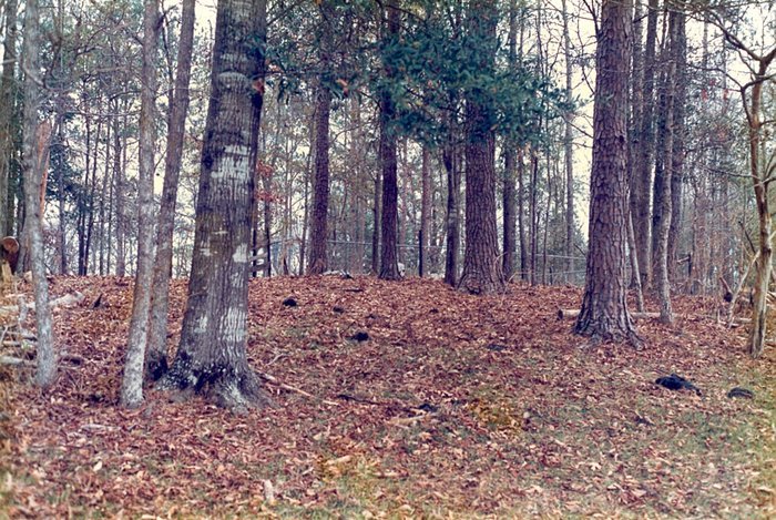
| Description | : | This small family cemetery is located on a wooded knoll behind the old George Deas Place on the SouthEast side of Highway 154, approximately 1 mile northeast of the intersection of Highway 21. |
frequently asked questions (FAQ):
-
Where is Deas Cemetery?
Deas Cemetery is located at Highway 154 Sec 32 T10N R1E Center Point, Clarke County ,Alabama ,USA.
-
Deas Cemetery cemetery's updated grave count on graveviews.com?
0 memorials
-
Where are the coordinates of the Deas Cemetery?
Latitude: 31.7918730
Longitude: -87.9981650
Nearby Cemetories:
1. Center Point Cemetery
Coffeeville, Clarke County, USA
Coordinate: 31.7866370, -88.0202550
2. Jones Chapel Church of Christ Cemetery
Coffeeville, Clarke County, USA
Coordinate: 31.7858960, -88.0218050
3. Bell - Brewer Cemetery
Clarke County, USA
Coordinate: 31.7814007, -87.9666977
4. New Prospect Cemetery
Clarke County, USA
Coordinate: 31.8097000, -87.9708023
5. James Cemetery
Clarke County, USA
Coordinate: 31.7581005, -88.0330963
6. Friendship Baptist Church Cemetery
Clarke County, USA
Coordinate: 31.8271770, -88.0354700
7. Anderson Cemetery
Clarke County, USA
Coordinate: 31.8267002, -88.0363998
8. Kiels Cemetery
Coffeeville, Clarke County, USA
Coordinate: 31.7591991, -88.0449982
9. Friddle Cemetery
Chilton, Clarke County, USA
Coordinate: 31.7872200, -88.0592700
10. Huggins Cemetery
Clarke County, USA
Coordinate: 31.8232994, -87.9477997
11. Fluker Cemetery
Clarke County, USA
Coordinate: 31.7435640, -88.0434140
12. Greater Ebenezer Baptist Church Cemetery
Coffeeville, Clarke County, USA
Coordinate: 31.7370500, -87.9617720
13. Ulcanush Cemetery
Coffeeville, Clarke County, USA
Coordinate: 31.7868996, -88.0768967
14. Grace Chapel Cemetery
Coffeeville, Clarke County, USA
Coordinate: 31.7291230, -88.0434990
15. Griffin Chapel Cemetery
Clarke County, USA
Coordinate: 31.7166996, -87.9950027
16. Mosley Spring Cemetery
Clarke County, USA
Coordinate: 31.7274890, -88.0449570
17. Coffeeville Cemetery
Coffeeville, Clarke County, USA
Coordinate: 31.7593994, -88.0871964
18. Bethel Baptist Church Cemetery
Coffeeville, Clarke County, USA
Coordinate: 31.8196780, -88.0899880
19. Cobb Cemetery
Clarke County, USA
Coordinate: 31.7327995, -87.9291992
20. Thornton Cemetery
Coffeeville, Clarke County, USA
Coordinate: 31.7453003, -88.0796967
21. Estes Cemetery
Coffeeville, Clarke County, USA
Coordinate: 31.8118650, -88.0944660
22. Austin Cemetery
Clarke County, USA
Coordinate: 31.7150002, -87.9366989
23. Oak Grove Cemetery
Chilton, Clarke County, USA
Coordinate: 31.8260994, -87.8964005
24. Union Grove Baptist Church Cemetery
Coffeeville, Clarke County, USA
Coordinate: 31.7134130, -88.0589830