
| Memorials | : | 0 |
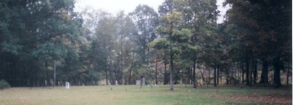
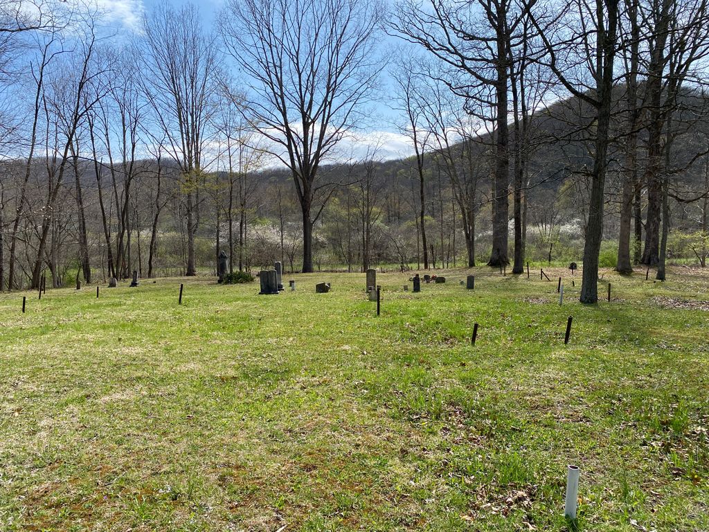
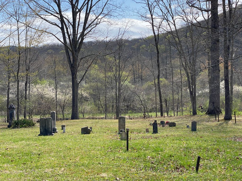
| Location | : | Deer Creek, Pocahontas County, USA |
| Coordinate | : | 38.3884040, -79.9226290 |
| Description | : | From intersection of State Routes 92, 28 & 66, follow State Route 66 west to Cass, about 5 miles. From the Cass Scenic Railroad crossing in Cass, travel through Cass continuing on State Route 66 west passing the Cass Firehouse on the left. Just pass the Firehouse at 0.5 miles, turn left following the Greenbrier River Trail signs, dirt road, passing town sewage ponds on the left. At 1.0 miles (small sign on right "Deer Creek Cemetery"), turn left on grassy, country lane through the woods for 100 yards to the cemetery. - as transcribed by Jan and... Read More |
frequently asked questions (FAQ):
-
Where is Deer Creek Cemetery?
Deer Creek Cemetery is located at Deer Creek, Pocahontas County ,West Virginia ,USA.
-
Deer Creek Cemetery cemetery's updated grave count on graveviews.com?
0 memorials
-
Where are the coordinates of the Deer Creek Cemetery?
Latitude: 38.3884040
Longitude: -79.9226290
Nearby Cemetories:
1. Tacy Cemetery
Cass, Pocahontas County, USA
Coordinate: 38.3866150, -79.9343410
2. McLaughlin-Sutton Cemetery
Cass, Pocahontas County, USA
Coordinate: 38.3866350, -79.9343720
3. Hilltop Cemetery
Cass, Pocahontas County, USA
Coordinate: 38.4192009, -79.9257965
4. Dunmore Cemetery
Dunmore, Pocahontas County, USA
Coordinate: 38.3560000, -79.8816100
5. Stony Bottom Cemetery
Stony Bottom, Pocahontas County, USA
Coordinate: 38.3569590, -79.9656560
6. Meeks Cemetery
Stony Bottom, Pocahontas County, USA
Coordinate: 38.3544790, -79.9644250
7. Wanless Cemetery
Cass, Pocahontas County, USA
Coordinate: 38.4434960, -79.9019360
8. Warwick Cemetery
Green Bank, Pocahontas County, USA
Coordinate: 38.4181960, -79.8517400
9. Sheets Cemetery
Green Bank, Pocahontas County, USA
Coordinate: 38.3939370, -79.8385800
10. Oak Flats Cemetery
Green Bank, Pocahontas County, USA
Coordinate: 38.4210200, -79.8427000
11. Reverend Edgar Floyd Alexander Grave Site
Green Bank, Pocahontas County, USA
Coordinate: 38.4199982, -79.8316727
12. Dilley Cemetery
Pocahontas County, USA
Coordinate: 38.3373060, -79.8464310
13. Buzzard Cemetery
Pocahontas County, USA
Coordinate: 38.3286018, -79.8574982
14. Lindsay Cemetery
Pocahontas County, USA
Coordinate: 38.3235000, -79.8656800
15. Wesley Chapel Methodist Church Cemetery
Green Bank, Pocahontas County, USA
Coordinate: 38.3708600, -79.8178200
16. Shinaberry Cemetery
Pocahontas County, USA
Coordinate: 38.3232994, -79.8516998
17. Moore Cemetery
Frost, Pocahontas County, USA
Coordinate: 38.3139000, -79.8660965
18. Wooddell Cemetery
Green Bank, Pocahontas County, USA
Coordinate: 38.3923290, -79.8103040
19. Coyner Cemetery
Clover Lick, Pocahontas County, USA
Coordinate: 38.3332610, -80.0120390
20. Grimes Cemetery
Clover Lick, Pocahontas County, USA
Coordinate: 38.3148800, -79.9903110
21. Arbovale Cemetery
Arbovale, Pocahontas County, USA
Coordinate: 38.4347800, -79.8208800
22. Hudson Cemetery
Green Bank, Pocahontas County, USA
Coordinate: 38.3746970, -79.8029940
23. Big Springs Presbyterian
Linwood, Pocahontas County, USA
Coordinate: 38.4169140, -80.0402500
24. Arbovale Cemetery Annex
Arbovale, Pocahontas County, USA
Coordinate: 38.4388100, -79.8170400