
| Memorials | : | 0 |
| Location | : | Rutherford County, USA |
| Coordinate | : | 36.0271870, -86.3913760 |
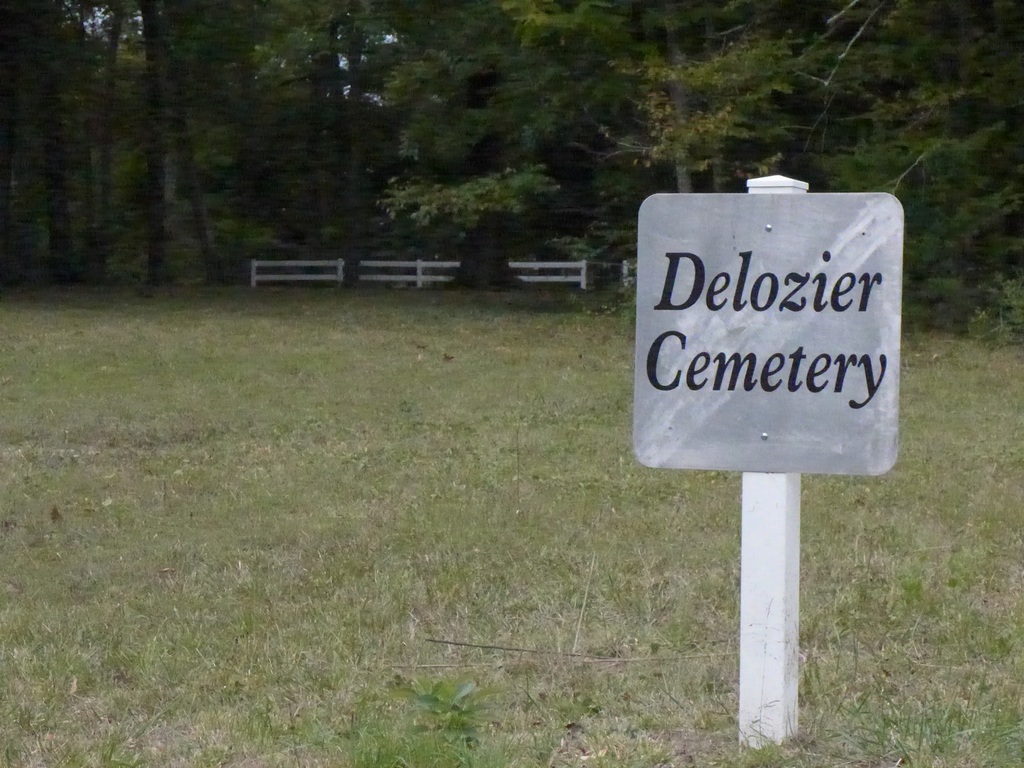
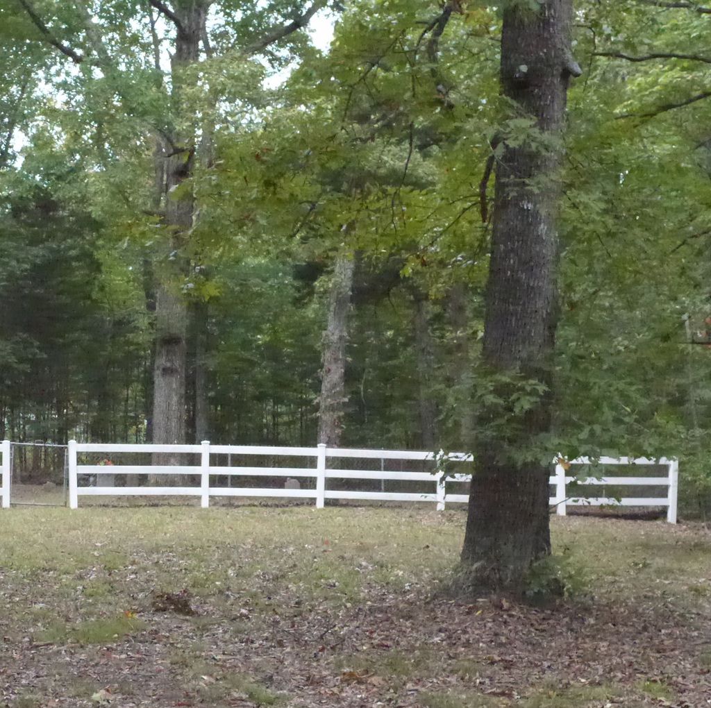
| Description | : | Nashville Superspeedway at McCrary road, travel down 452 from the 840 exit, past the speedway to Powell's Chapel Road on the left. Turn on to Powell's Chapel and travel two or three hundred yards. It's on the left. |
frequently asked questions (FAQ):
-
Where is DeLozier Cemetery?
DeLozier Cemetery is located at Powells Chapel Rd Rutherford County ,Tennessee ,USA.
-
DeLozier Cemetery cemetery's updated grave count on graveviews.com?
0 memorials
-
Where are the coordinates of the DeLozier Cemetery?
Latitude: 36.0271870
Longitude: -86.3913760

Nearby Cemetories:
1. Barrett Cemetery
Wilson County, USA
Coordinate: 36.0302650, -86.3616210
2. Johns Cemetery
Rutherford County, USA
Coordinate: 36.0435982, -86.4431000
3. Harris Cemetery
Rutherford County, USA
Coordinate: 35.9852982, -86.4227982
4. Alsup Cemetery
Wilson County, USA
Coordinate: 36.0131120, -86.3326100
5. Underwood Cemetery
Gladeville, Wilson County, USA
Coordinate: 36.0689700, -86.4349900
6. Garrett Cemetery
Jefferson Springs, Rutherford County, USA
Coordinate: 36.0147018, -86.4578018
7. Alsup Cemetery
Wilson County, USA
Coordinate: 36.0027950, -86.3293580
8. Comer Family Cemetery
Wilson County, USA
Coordinate: 35.9996200, -86.3199590
9. Johns Cemetery
Rutherford County, USA
Coordinate: 35.9743996, -86.3439026
10. Browns Cemetery
Wilson County, USA
Coordinate: 36.0788994, -86.4408035
11. Clay Cemetery
Jefferson Springs, Rutherford County, USA
Coordinate: 36.0107994, -86.4702988
12. Adkerson Cemetery (Defunct)
Jefferson Springs, Rutherford County, USA
Coordinate: 36.0069008, -86.4708023
13. Alsup-Rucker Cemetery
Wilson County, USA
Coordinate: 36.0151960, -86.3087090
14. Johns Cemetery
Rutherford County, USA
Coordinate: 35.9589005, -86.3871994
15. Bone Cemetery (Defunct)
Rutherford County, USA
Coordinate: 35.9852982, -86.4597015
16. Cedar Forest Road Cemetery
Wilson County, USA
Coordinate: 36.0314311, -86.2978137
17. Ward Cemetery
Hales Camp, Rutherford County, USA
Coordinate: 35.9853420, -86.4732000
18. Old Caraway Cemetery
Gladeville, Wilson County, USA
Coordinate: 36.1052930, -86.3839400
19. Horway Cemetery
Rutherford County, USA
Coordinate: 35.9935989, -86.4792023
20. Martin-Woodrum Cemetery
Gladeville, Wilson County, USA
Coordinate: 36.0997000, -86.4297000
21. Caraway Cemetery
Gladeville, Wilson County, USA
Coordinate: 36.1094017, -86.3891983
22. Spickard-Sullivan Cemetery
Gladeville, Wilson County, USA
Coordinate: 36.1091995, -86.3807983
23. Martin-Jenkins Cemetery
Gladeville, Wilson County, USA
Coordinate: 36.1102500, -86.4014900
24. Sherrill Cemetery
Gladeville, Wilson County, USA
Coordinate: 36.1089000, -86.4149000