
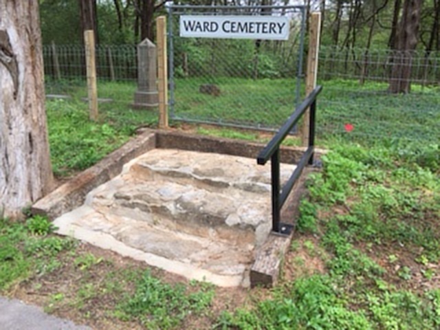
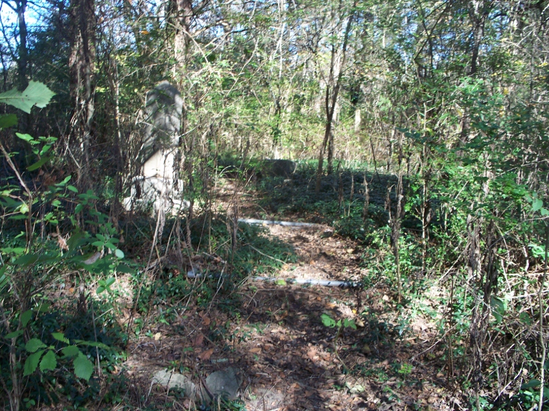
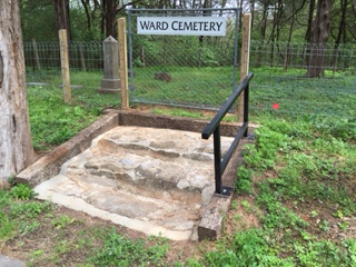
| Memorials | : | 0 |
| Location | : | Hales Camp, Rutherford County, USA |
| Coordinate | : | 35.9853420, -86.4732000 |
| Description | : | From its intersection with Nissan Drive (Hwy 102) in Smyrna, take Jefferson Pike (Hwy 266) East to a right turn on Old Jefferson Pike. Then South (right) on Florence Rd to a left turn onto the access road for West Fork Boat Ramp. Cemetery on left, approx. 0.1 miles from Florence Rd. |
frequently asked questions (FAQ):
-
Where is Ward Cemetery?
Ward Cemetery is located at Hales Camp, Rutherford County ,Tennessee ,USA.
-
Ward Cemetery cemetery's updated grave count on graveviews.com?
0 memorials
-
Where are the coordinates of the Ward Cemetery?
Latitude: 35.9853420
Longitude: -86.4732000
Nearby Cemetories:
1. Horway Cemetery
Rutherford County, USA
Coordinate: 35.9935989, -86.4792023
2. Bone Cemetery (Defunct)
Rutherford County, USA
Coordinate: 35.9852982, -86.4597015
3. Adkerson Cemetery (Defunct)
Jefferson Springs, Rutherford County, USA
Coordinate: 36.0069008, -86.4708023
4. Clay Cemetery
Jefferson Springs, Rutherford County, USA
Coordinate: 36.0107994, -86.4702988
5. Garrett Cemetery
Jefferson Springs, Rutherford County, USA
Coordinate: 36.0147018, -86.4578018
6. Harris Cemetery
Rutherford County, USA
Coordinate: 35.9852982, -86.4227982
7. Sikes Cemetery
Florence, Rutherford County, USA
Coordinate: 35.9319000, -86.4847031
8. Johns Cemetery
Rutherford County, USA
Coordinate: 36.0435982, -86.4431000
9. Goodman Cemetery
Rutherford County, USA
Coordinate: 36.0069008, -86.5582962
10. Tucker Cemetery
Florence, Rutherford County, USA
Coordinate: 35.9124985, -86.4555969
11. Harris Cemetery
Rutherford County, USA
Coordinate: 35.9669600, -86.5623500
12. Johns Cemetery
Rutherford County, USA
Coordinate: 35.9589005, -86.3871994
13. Goodman Cemetery
Rutherford County, USA
Coordinate: 35.9933014, -86.5663986
14. DeLozier Cemetery
Rutherford County, USA
Coordinate: 36.0271870, -86.3913760
15. Hicks Cemetery
Rutherford County, USA
Coordinate: 35.9077988, -86.4925003
16. Burrus Cemetery
Cherry Lane Acres, Rutherford County, USA
Coordinate: 35.9305992, -86.3989029
17. Baugh Cemetery
Blackman, Rutherford County, USA
Coordinate: 35.9067001, -86.5056000
18. Bell Cemetery
Florence, Rutherford County, USA
Coordinate: 35.9019012, -86.4571991
19. McLaughlin Cemetery
Bluefield, Rutherford County, USA
Coordinate: 35.9369011, -86.5588989
20. Underwood Cemetery
Gladeville, Wilson County, USA
Coordinate: 36.0689700, -86.4349900
21. Arnold Cemetery
Davidson County, USA
Coordinate: 36.0722008, -86.5250015
22. Browns Cemetery
Wilson County, USA
Coordinate: 36.0788994, -86.4408035
23. Howse Cemetery
Rutherford County, USA
Coordinate: 35.8893900, -86.4953800
24. Bass Cemetery
Blackman, Rutherford County, USA
Coordinate: 35.8899994, -86.5085983