
| Memorials | : | 0 |
| Location | : | Groton Township, Erie County, USA |
| Coordinate | : | 41.3428001, -82.8332977 |
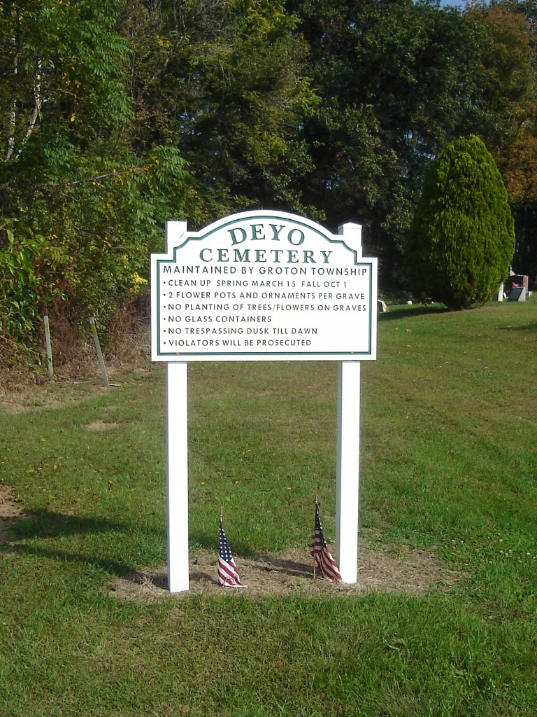
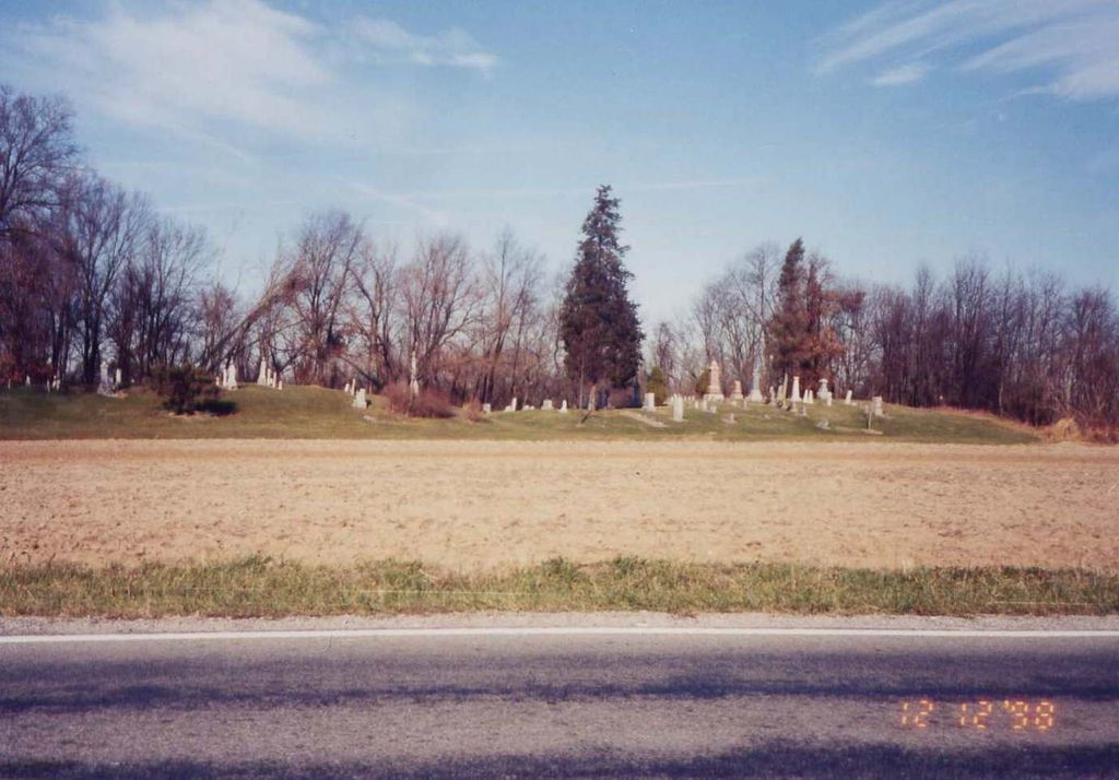
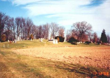
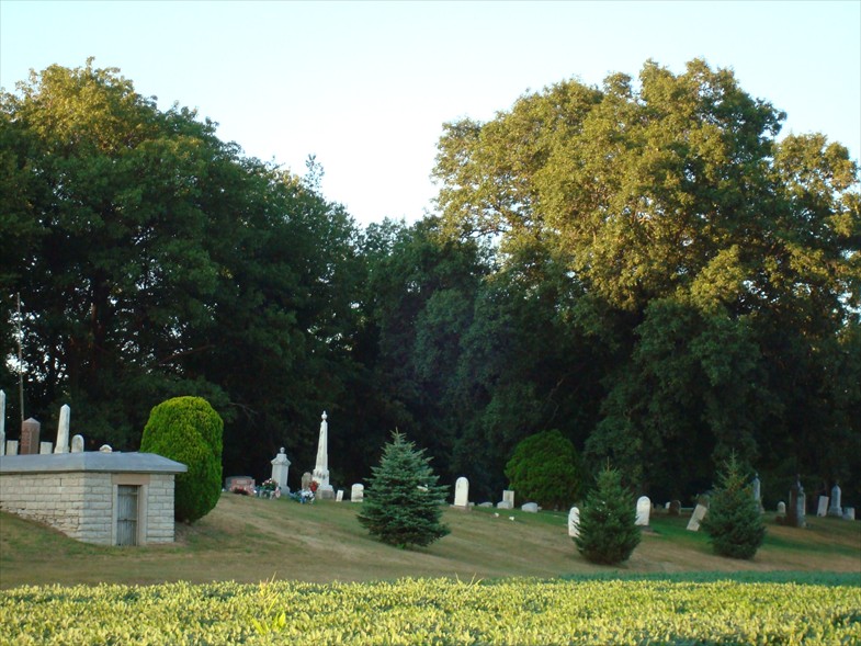
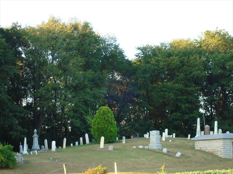
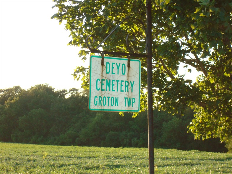
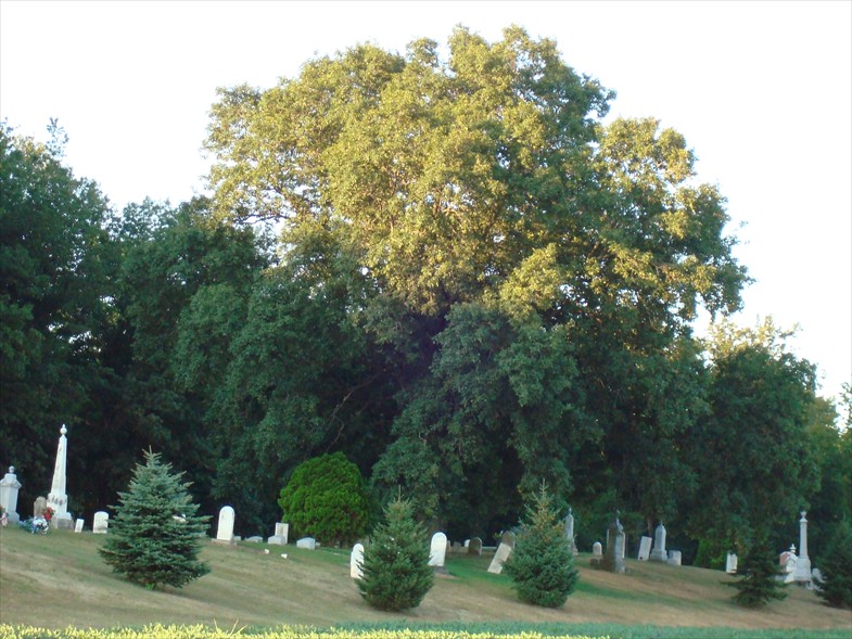
| Description | : | The cemetery is located on the north side of Portland Road (County Road 32 / County Road 175) about 0.1 miles west of its intersection with Ohio State Route 269. The cemetery is located in Groton Township, Erie County, Ohio, and is # 2997 (Deyo Cemetery / Bolles Cemetery) in “Ohio Cemeteries 1803-2003”, compiled by the Ohio Genealogical Society. The cemetery is registered with the Ohio Division of Real Estate and Professional Licensing (ODRE) as Deyo Cemetery with registration license number CGR.0000982861. The U.S. Geological Survey (USGS) Geographic Names Information System (GNIS) feature ID for the cemetery is... Read More |
frequently asked questions (FAQ):
-
Where is Deyo Cemetery?
Deyo Cemetery is located at Portland Road (County Road 32 / County Road 175) Groton Township, Erie County ,Ohio , 44811USA.
-
Deyo Cemetery cemetery's updated grave count on graveviews.com?
0 memorials
-
Where are the coordinates of the Deyo Cemetery?
Latitude: 41.3428001
Longitude: -82.8332977
Nearby Cemetories:
1. Avery Cemetery
Clyde, Sandusky County, USA
Coordinate: 41.3207290, -82.8499700
2. Graves Cemetery
Castalia, Erie County, USA
Coordinate: 41.3695440, -82.8250550
3. Keegan Farm Cemetery
Clyde, Sandusky County, USA
Coordinate: 41.3659610, -82.8574340
4. Tew Cemetery
Clyde, Sandusky County, USA
Coordinate: 41.3675003, -82.8569031
5. Parkhurst Cemetery
Clyde, Sandusky County, USA
Coordinate: 41.3561550, -82.8732740
6. Wales Corners Cemetery
Clyde, Sandusky County, USA
Coordinate: 41.3166885, -82.9018860
7. Castalia Cemetery
Castalia, Erie County, USA
Coordinate: 41.3957410, -82.8015733
8. Sandhill Cemetery
Castalia, Erie County, USA
Coordinate: 41.3616982, -82.7589035
9. Fuller Cemetery
Townsend Township, Sandusky County, USA
Coordinate: 41.3655280, -82.9118770
10. Strongs Ridge Cemetery
Strongs Ridge, Huron County, USA
Coordinate: 41.2833290, -82.7830582
11. Ellsworth Cemetery
Clyde, Sandusky County, USA
Coordinate: 41.3293991, -82.9269028
12. Saint Paul United Church of Christ Cemetery
Bellevue, Sandusky County, USA
Coordinate: 41.2703270, -82.8485000
13. Immaculate Conception Cemetery
Bellevue, Huron County, USA
Coordinate: 41.2664500, -82.8340630
14. Bellevue Cemetery
Bellevue, Huron County, USA
Coordinate: 41.2658005, -82.8368988
15. York Free Chapel Cemetery
York, Sandusky County, USA
Coordinate: 41.2803100, -82.8982300
16. Bloomingville Cemetery
Bloomingville, Erie County, USA
Coordinate: 41.3550987, -82.7226715
17. Trinity Episcopal Cemetery
Bellevue, Huron County, USA
Coordinate: 41.2633150, -82.7768610
18. Gilbert Cemetery
Clyde, Sandusky County, USA
Coordinate: 41.2778015, -82.9186020
19. North Monroeville Cemetery
Monroeville, Huron County, USA
Coordinate: 41.2842200, -82.7248900
20. Baum Family Cemetery
Perkins Township, Erie County, USA
Coordinate: 41.3837600, -82.7055420
21. Venice Cemetery
Margaretta Township, Erie County, USA
Coordinate: 41.4413690, -82.7829920
22. McPherson Cemetery
Clyde, Sandusky County, USA
Coordinate: 41.3093987, -82.9681015
23. Wilmer Cemetery
Wilmer, Erie County, USA
Coordinate: 41.4008848, -82.7074048
24. Saint Pauls German Lutheran Cemetery
Lyme Township, Huron County, USA
Coordinate: 41.2268600, -82.8172600