
| Memorials | : | 0 |
| Location | : | Bedford County, USA |
| Coordinate | : | 39.9802000, -78.3347000 |
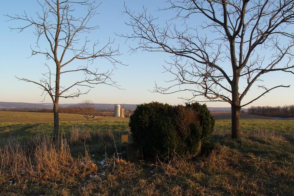
| Description | : | Dibert Farm Cemetery West Providence Township Dibert Farm Cemetery is located 4 1/2 miles South of Everett, on the Menchtown Road, at the top of a hill, in a woodland overlooking Brush Creek. Thomas Dibert was the original owner of the farm. |
frequently asked questions (FAQ):
-
Where is Dibert Farm Cemetery?
Dibert Farm Cemetery is located at Bedford County ,Pennsylvania ,USA.
-
Dibert Farm Cemetery cemetery's updated grave count on graveviews.com?
0 memorials
-
Where are the coordinates of the Dibert Farm Cemetery?
Latitude: 39.9802000
Longitude: -78.3347000
Nearby Cemetories:
1. Mount Union Christian Church Cemetery
Mench, Bedford County, USA
Coordinate: 39.9739000, -78.3230000
2. Vaughn Williams Farm Cemetery
Mench, Bedford County, USA
Coordinate: 39.9820130, -78.3183590
3. Williams Farm Cemetery
Mench, Bedford County, USA
Coordinate: 39.9691400, -78.3461500
4. Baughman Union Cemetery
Bedford County, USA
Coordinate: 39.9687670, -78.3465960
5. Sparks Family Cemetery
Everett, Bedford County, USA
Coordinate: 39.9934600, -78.3531700
6. Calhoun Farm Cemetery
Bedford County, USA
Coordinate: 39.9700000, -78.3583000
7. Everett Cemetery
Everett, Bedford County, USA
Coordinate: 40.0107994, -78.3593979
8. Blackhart Farm Cemetery
Everett, Bedford County, USA
Coordinate: 39.9818750, -78.2877266
9. Union Memorial Cemetery
Mench, Bedford County, USA
Coordinate: 39.9569000, -78.2973000
10. Cedar Grove Cemetery
Breezewood, Bedford County, USA
Coordinate: 39.9789000, -78.2850000
11. Cherry Lane Brethren Cemetery
Monroe Township, Bedford County, USA
Coordinate: 39.9477768, -78.3663864
12. Morgart and Morgret Cemetery
Everett, Bedford County, USA
Coordinate: 40.0201710, -78.3202778
13. Kagarise-Burger Farm Cemetery
Monroe Township, Bedford County, USA
Coordinate: 39.9357150, -78.3501890
14. Providence Union Church Cemetery
Everett, Bedford County, USA
Coordinate: 40.0284691, -78.3327789
15. Bussard Cemetery
Bedford County, USA
Coordinate: 39.9746000, -78.3983000
16. Cooper Farm Cemetery
Clearville, Bedford County, USA
Coordinate: 39.9323970, -78.3598140
17. Old Shaw Farm Cemetery
Mattie, Bedford County, USA
Coordinate: 39.9209280, -78.3272840
18. Bowman Family Cemetery
Mattie, Bedford County, USA
Coordinate: 39.9321422, -78.2887292
19. Rockhill Cemetery
Monroe Township, Bedford County, USA
Coordinate: 39.9186000, -78.3391000
20. Indian Springs Cemetery
Monroe Township, Bedford County, USA
Coordinate: 39.9617004, -78.4131012
21. Rays Cove Christian Church Cemetery
Breezewood, Bedford County, USA
Coordinate: 40.0247650, -78.2764969
22. Mount Pleasant Cemetery
Mattie, Bedford County, USA
Coordinate: 39.9247437, -78.2919769
23. Clearville Union Church Cemetery
Clearville, Bedford County, USA
Coordinate: 39.9228172, -78.3868332
24. Christ Church Cemetery
Breezewood, Bedford County, USA
Coordinate: 39.9983000, -78.2451400