
| Memorials | : | 0 |
| Location | : | Union Township, Lebanon County, USA |
| Coordinate | : | 40.4252260, -76.5262700 |
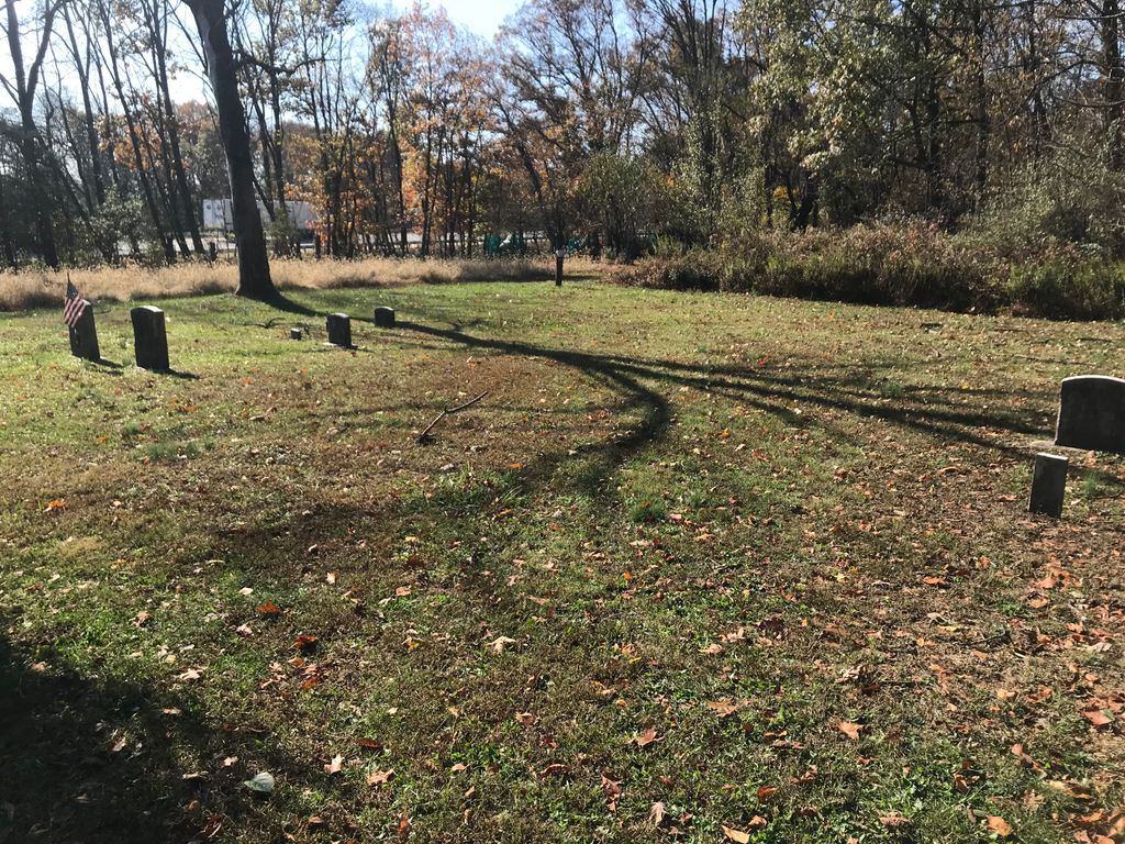
| Description | : | Ox Head Church (Uxa Kopf Kirche) is referred to as one of the lost churches of the Swatara. It was originally built along the road from Jonestown to Freeport Mills. Because the congregation dwindled in size, in 1896, the meetinghouse and cemetery were moved to the Dierwechter Farm. There the church became known as Dierwechter's Meetinghouse. The congregation became defunct about 1907. Only the cemetery remains. |
frequently asked questions (FAQ):
-
Where is Dierwechters Union Meeting Cemetery?
Dierwechters Union Meeting Cemetery is located at Calvary Road Union Township, Lebanon County ,Pennsylvania , 17038USA.
-
Dierwechters Union Meeting Cemetery cemetery's updated grave count on graveviews.com?
0 memorials
-
Where are the coordinates of the Dierwechters Union Meeting Cemetery?
Latitude: 40.4252260
Longitude: -76.5262700
Nearby Cemetories:
1. Walmers Church Cemetery
Annville, Lebanon County, USA
Coordinate: 40.4297218, -76.5486069
2. Jonestown Bible Church Cemetery
Jonestown, Lebanon County, USA
Coordinate: 40.4201012, -76.5006027
3. Mount Nebo Union Church Cemetery
Ono, Lebanon County, USA
Coordinate: 40.4023350, -76.5364310
4. Mount Nebo Cemetery
Ono, Lebanon County, USA
Coordinate: 40.4022942, -76.5414581
5. Indiantown Gap National Cemetery
Annville, Lebanon County, USA
Coordinate: 40.4211006, -76.5714035
6. Zion Lutheran Cemetery
Jonestown, Lebanon County, USA
Coordinate: 40.4170113, -76.4769974
7. Jonestown Reformed and Old Cemetery
Jonestown, Lebanon County, USA
Coordinate: 40.4128910, -76.4768550
8. Wenger Meeting House Cemetery
Jonestown, Lebanon County, USA
Coordinate: 40.4189529, -76.4747696
9. United Brethren Cemetery
Jonestown, Lebanon County, USA
Coordinate: 40.4108818, -76.4772109
10. Union-Salem Evangelical Congregational Cemetery
Lickdale, Lebanon County, USA
Coordinate: 40.4525948, -76.4842987
11. Bunker Hill Evangelical Cemetery
Bunker Hill, Lebanon County, USA
Coordinate: 40.3946991, -76.4853134
12. Bethel Moravian Cemetery
Lickdale, Lebanon County, USA
Coordinate: 40.4621090, -76.4866740
13. Mark Cemetery
Bellegrove, Lebanon County, USA
Coordinate: 40.3819000, -76.5543300
14. Mountville Cemetery
Lebanon, Lebanon County, USA
Coordinate: 40.3858650, -76.4815690
15. Grumbine Farm Plot
Fredericksburg, Lebanon County, USA
Coordinate: 40.4589600, -76.4674870
16. Black Oak Hill Cemetery
Lebanon, Lebanon County, USA
Coordinate: 40.3801250, -76.4809610
17. Bellegrove United Methodist Church Cemetery
Bellegrove, Lebanon County, USA
Coordinate: 40.3706131, -76.5497131
18. Light-Hemperly Farm Cemetery
Bunker Hill, Lebanon County, USA
Coordinate: 40.3781090, -76.4824220
19. Kohr Family Cemetery
Green Point, Lebanon County, USA
Coordinate: 40.4759300, -76.5634600
20. Miller Cemetery
Annville, Lebanon County, USA
Coordinate: 40.3711350, -76.4977220
21. Lembergers Cemetery
Harper Tavern, Lebanon County, USA
Coordinate: 40.4048576, -76.5985413
22. Green Point Cemetery
Green Point, Lebanon County, USA
Coordinate: 40.4807205, -76.5527954
23. Water Works United Methodist Cemetery
Union Water Works, Lebanon County, USA
Coordinate: 40.3639946, -76.5264664
24. Moonshine Cemetery
Jonestown, Lebanon County, USA
Coordinate: 40.4521866, -76.5990829