
| Memorials | : | 3 |
| Location | : | Richland Township, Clinton County, USA |
| Coordinate | : | 39.5106010, -83.6243973 |
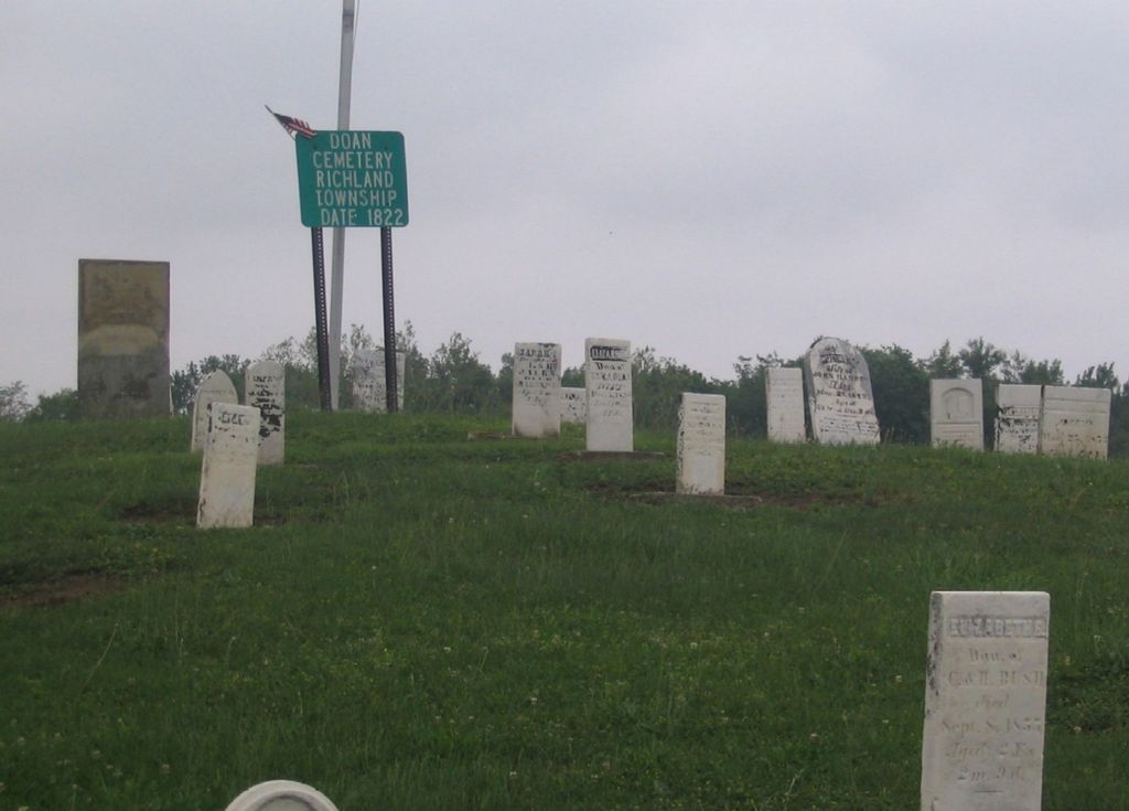
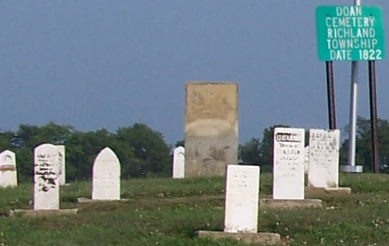
| Description | : | The cemetery is located on the east side of Ohio State Route 729 about 0.6 miles south of its intersection with Roshon Road (Township Road 171). The cemetery is located in Richland Township, Clinton County, Ohio, and is # 1991 (Doan Cemetery) in “Ohio Cemeteries 1803-2003”, compiled by the Ohio Genealogical Society. The U.S. Geological Survey (USGS) Geographic Names Information System (GNIS) feature ID for the cemetery is 1963044 (Doan Cemetery). |
frequently asked questions (FAQ):
-
Where is Doan Cemetery?
Doan Cemetery is located at Ohio State Route 729 Richland Township, Clinton County ,Ohio , 45169USA.
-
Doan Cemetery cemetery's updated grave count on graveviews.com?
3 memorials
-
Where are the coordinates of the Doan Cemetery?
Latitude: 39.5106010
Longitude: -83.6243973

Nearby Cemetories:
1. Sabina Cemetery
Sabina, Clinton County, USA
Coordinate: 39.4931183, -83.6418686
2. Spurgeon Cemetery
Richland Township, Clinton County, USA
Coordinate: 39.4831009, -83.6678009
3. Coulter Cemetery
Wilson Township, Clinton County, USA
Coordinate: 39.5092010, -83.6849976
4. Polk Family Cemetery
Reesville, Clinton County, USA
Coordinate: 39.4949930, -83.6826460
5. Mallow-Perrill Cemetery
Jasper Township, Fayette County, USA
Coordinate: 39.5374985, -83.5667038
6. Perrill Cemetery
South Plymouth, Fayette County, USA
Coordinate: 39.5374100, -83.5665610
7. Asbury Chapel Cemetery
Jasper Township, Fayette County, USA
Coordinate: 39.5135700, -83.5542150
8. New Grassy Run Friends Burial Ground
Wilson Township, Clinton County, USA
Coordinate: 39.5380800, -83.6934900
9. Thorpe Cemetery
Wilson Township, Clinton County, USA
Coordinate: 39.5337740, -83.6973990
10. Evans Cemetery
Wayne Township, Clinton County, USA
Coordinate: 39.4516983, -83.6006012
11. Old Grassy Run Friends Burial Ground
Wilson Township, Clinton County, USA
Coordinate: 39.5480380, -83.7088710
12. Richland Methodist Cemetery
Melvin, Clinton County, USA
Coordinate: 39.4704920, -83.7132380
13. Wade Cemetery
Melvin, Clinton County, USA
Coordinate: 39.4704920, -83.7132380
14. Milledgeville Plymouth Cemetery
Milledgeville, Fayette County, USA
Coordinate: 39.5853004, -83.5843964
15. Mark Cemetery
Milledgeville, Fayette County, USA
Coordinate: 39.5036011, -83.5141983
16. Centerville Cemetery
Lees Creek, Clinton County, USA
Coordinate: 39.4257400, -83.6551500
17. Bush Cemetery
Union Township, Fayette County, USA
Coordinate: 39.5233002, -83.5081024
18. Feagins Cemetery
Union Township, Fayette County, USA
Coordinate: 39.5241740, -83.5082010
19. Texas Cemetery
Wayne Township, Clinton County, USA
Coordinate: 39.4371580, -83.7037800
20. Coil Cemetery
Washington Court House, Fayette County, USA
Coordinate: 39.5486946, -83.5094604
21. Sugar Creek Cemetery
Washington Court House, Fayette County, USA
Coordinate: 39.5486731, -83.5093636
22. Luttrell Cemetery
Wayne Township, Clinton County, USA
Coordinate: 39.4108009, -83.6033020
23. Stewart Cemetery
Bowersville, Greene County, USA
Coordinate: 39.5802994, -83.7200012
24. Wilson Cemetery
Union Township, Clinton County, USA
Coordinate: 39.4632988, -83.7407990