| Memorials | : | 7 |
| Location | : | Haugan, Mineral County, USA |
| Coordinate | : | 47.3675130, -115.5777060 |
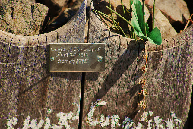
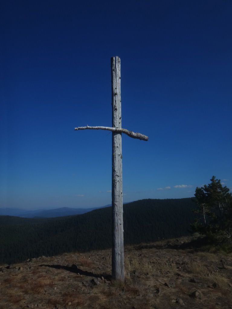
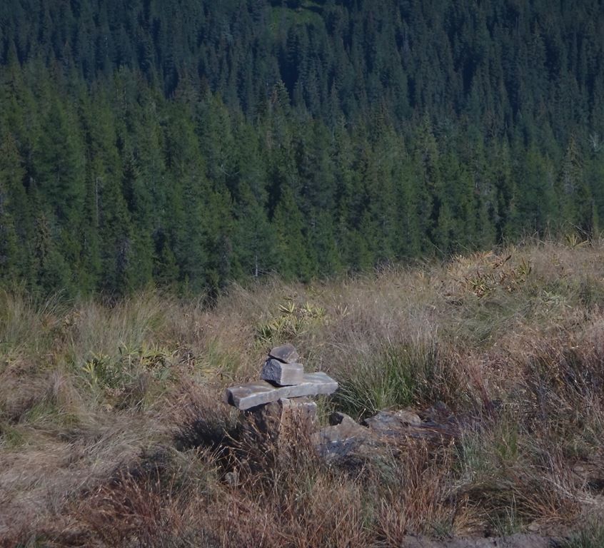
| Description | : | Dominion Peak is a 6032 foot mountain in Mineral county Montana, and located on the Lolo National Forest. The site was a former Forest Service Lookout. The site of five graves that appear to be cremation burials. There are two couples with granite headstones and one single man with a simple grave marker and name plate. The name Tom Tom is a placeholder until I get the correct information and pictures uploaded. |
frequently asked questions (FAQ):
-
Where is Dominion Peak Gravesite?
Dominion Peak Gravesite is located at Haugan, Mineral County ,Montana ,USA.
-
Dominion Peak Gravesite cemetery's updated grave count on graveviews.com?
7 memorials
-
Where are the coordinates of the Dominion Peak Gravesite?
Latitude: 47.3675130
Longitude: -115.5777060
Nearby Cemetories:
1. Saltese Cemetery
Saltese, Mineral County, USA
Coordinate: 47.4125000, -115.5152000
2. De Borgia Cemetery
De Borgia, Mineral County, USA
Coordinate: 47.3712650, -115.3386890
3. Mountain View Cemetery
Mullan, Shoshone County, USA
Coordinate: 47.4655100, -115.7908000
4. IOOF Cemetery
Mullan, Shoshone County, USA
Coordinate: 47.4667160, -115.7905450
5. Fairmont Cemetery
Mullan, Shoshone County, USA
Coordinate: 47.4665000, -115.8064000
6. Miners Union Cemetery
Mullan, Shoshone County, USA
Coordinate: 47.4885600, -115.9144700
7. Nine Mile Cemetery
Wallace, Shoshone County, USA
Coordinate: 47.4893000, -115.9154000
8. Wild Rose Cemetery
Thompson Falls, Sanders County, USA
Coordinate: 47.5964000, -115.3380000
9. Fraternal Cemetery
Thompson Falls, Sanders County, USA
Coordinate: 47.5963000, -115.3365000
10. Thompson Falls Cemetery
Thompson Falls, Sanders County, USA
Coordinate: 47.5956950, -115.3271560
11. Murray Cemetery
Shoshone County, USA
Coordinate: 47.6241600, -115.8648700
12. Days Cemetery
Osburn, Shoshone County, USA
Coordinate: 47.5049500, -116.0081800
13. Saint Regis Cemetery
Saint Regis, Mineral County, USA
Coordinate: 47.3058770, -115.0893880
14. Heller Gravesite
Shoshone County, USA
Coordinate: 47.0649986, -115.2174988
15. Green Family Cemetery
Calder, Shoshone County, USA
Coordinate: 47.2708000, -116.1398000
16. Greenwood Cemetery
Kellogg, Shoshone County, USA
Coordinate: 47.5317001, -116.1149979
17. Whitepine Cemetery
White Pine, Sanders County, USA
Coordinate: 47.7682991, -115.5077972
18. Plains Cemetery
Plains, Sanders County, USA
Coordinate: 47.4728660, -114.8820000
19. Bauman Family Cemetery
Pinehurst, Shoshone County, USA
Coordinate: 47.5415000, -116.2442000
20. Lynch Family Cemetery
Plains, Sanders County, USA
Coordinate: 47.4560000, -114.8750000
21. Shoshone Memorial Gardens
Pinehurst, Shoshone County, USA
Coordinate: 47.5420000, -116.2480000
22. Superior Cemetery
Superior, Mineral County, USA
Coordinate: 47.2006410, -114.8899850
23. Hunt Cemetery
Kingston, Shoshone County, USA
Coordinate: 47.5495000, -116.2915000
24. Paradise Cemetery
Paradise, Sanders County, USA
Coordinate: 47.3864030, -114.7950910


