
| Memorials | : | 0 |
| Location | : | Mullan, Shoshone County, USA |
| Coordinate | : | 47.4885600, -115.9144700 |
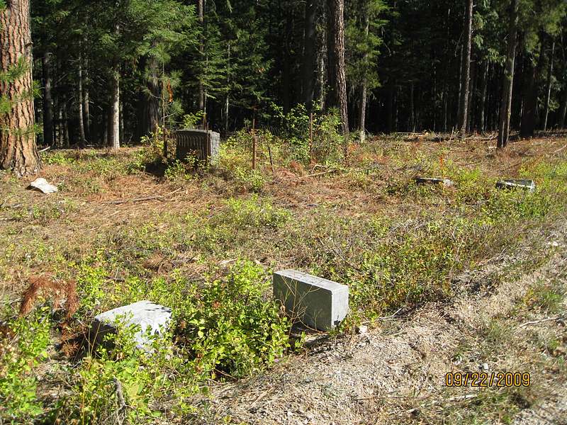
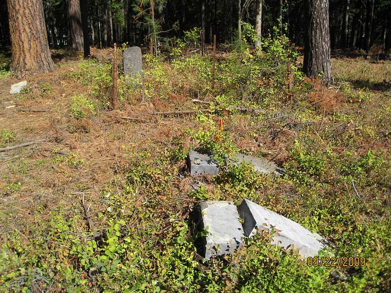
| Description | : | The Mullan City clerk only lists 26 names for this cemetery. According to Idaho death certificates there are many more. DIRECTIONS TO THIS CEMETERY.... TAKE I-90 EAST OUT OF WALLACE, IDAHO. GET OFF AT EXIT 68 IN MULLAN, GO LEFT THIS TURNS INTO RIVER ST. GO PAST 5TH ST AND MAKE A RIGHT OR SOUTH TURN ONTO COPPER ST. THEN TURN LEFT ON MONTANA ST. THEN GO RIGHT ON CEMETERY RD. TAKE THE FIRST LEFT. AT THE TOP OF THE HILL THE FIRST CEMETERY YOU WILL COME TO IS THE I.O.O.F.. GO PAST THE ROAD THAT DIVIDES THE I.O.O.F. AND JUST AFTER... Read More |
frequently asked questions (FAQ):
-
Where is Miners Union Cemetery?
Miners Union Cemetery is located at Cemetery Road Mullan, Shoshone County ,Idaho , 83846USA.
-
Miners Union Cemetery cemetery's updated grave count on graveviews.com?
0 memorials
-
Where are the coordinates of the Miners Union Cemetery?
Latitude: 47.4885600
Longitude: -115.9144700
Nearby Cemetories:
1. Nine Mile Cemetery
Wallace, Shoshone County, USA
Coordinate: 47.4893000, -115.9154000
2. Days Cemetery
Osburn, Shoshone County, USA
Coordinate: 47.5049500, -116.0081800
3. Fairmont Cemetery
Mullan, Shoshone County, USA
Coordinate: 47.4665000, -115.8064000
4. IOOF Cemetery
Mullan, Shoshone County, USA
Coordinate: 47.4667160, -115.7905450
5. Mountain View Cemetery
Mullan, Shoshone County, USA
Coordinate: 47.4655100, -115.7908000
6. Murray Cemetery
Shoshone County, USA
Coordinate: 47.6241600, -115.8648700
7. Greenwood Cemetery
Kellogg, Shoshone County, USA
Coordinate: 47.5317001, -116.1149979
8. Bauman Family Cemetery
Pinehurst, Shoshone County, USA
Coordinate: 47.5415000, -116.2442000
9. Shoshone Memorial Gardens
Pinehurst, Shoshone County, USA
Coordinate: 47.5420000, -116.2480000
10. Dominion Peak Gravesite
Haugan, Mineral County, USA
Coordinate: 47.3675130, -115.5777060
11. Hunt Cemetery
Kingston, Shoshone County, USA
Coordinate: 47.5495000, -116.2915000
12. Green Family Cemetery
Calder, Shoshone County, USA
Coordinate: 47.2708000, -116.1398000
13. Saltese Cemetery
Saltese, Mineral County, USA
Coordinate: 47.4125000, -115.5152000
14. Old Mission Cemetery
Kootenai County, USA
Coordinate: 47.5503480, -116.3563080
15. Rose Lake Cemetery
Rose Lake, Kootenai County, USA
Coordinate: 47.5580559, -116.4497223
16. Whitepine Cemetery
White Pine, Sanders County, USA
Coordinate: 47.7682991, -115.5077972
17. Wild Rose Cemetery
Thompson Falls, Sanders County, USA
Coordinate: 47.5964000, -115.3380000
18. Fraternal Cemetery
Thompson Falls, Sanders County, USA
Coordinate: 47.5963000, -115.3365000
19. De Borgia Cemetery
De Borgia, Mineral County, USA
Coordinate: 47.3712650, -115.3386890
20. Thompson Falls Cemetery
Thompson Falls, Sanders County, USA
Coordinate: 47.5956950, -115.3271560
21. Lane Cemetery
Kootenai County, USA
Coordinate: 47.5074997, -116.5369034
22. Medimont Cemetery
Medimont, Kootenai County, USA
Coordinate: 47.4780579, -116.6044464
23. Woodlawn Cemetery
Saint Maries, Benewah County, USA
Coordinate: 47.3168983, -116.5864029
24. Riverside Cemetery
Santa, Benewah County, USA
Coordinate: 47.1430000, -116.4360000