
| Memorials | : | 5 |
| Location | : | Auglaize Township, Paulding County, USA |
| Coordinate | : | 41.1727982, -84.4614029 |
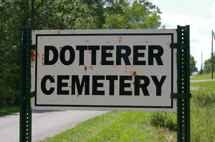
| Description | : | The cemetery is located on the north side of County Road 168 about 0.3 miles west of its intersection with County Road 163. The cemetery is located in Auglaize Township, Pauling County, Ohio, and is # 9212 (Dotterer Cemetery) in “Ohio Cemeteries 1803-2003”, compiled by the Ohio Genealogical Society. The U.S. Geological Survey (USGS) Geographic Names Information System (GNIS) feature ID for the cemetery is 1039756 (Dotterer Cemetery). |
frequently asked questions (FAQ):
-
Where is Dotterer Cemetery?
Dotterer Cemetery is located at County Road 168 Auglaize Township, Paulding County ,Ohio , 43512USA.
-
Dotterer Cemetery cemetery's updated grave count on graveviews.com?
5 memorials
-
Where are the coordinates of the Dotterer Cemetery?
Latitude: 41.1727982
Longitude: -84.4614029


Nearby Cemetories:
1. Saint Marys Catholic Church Cemetery
Junction, Paulding County, USA
Coordinate: 41.1870003, -84.4599991
2. Junction Cemetery
Paulding County, USA
Coordinate: 41.1878014, -84.4589005
3. Landis-Harvey Cemetery
Junction, Paulding County, USA
Coordinate: 41.1655830, -84.4430690
4. Myers-Hosterman Cemetery
Junction, Paulding County, USA
Coordinate: 41.1763690, -84.4402500
5. Barton Cemetery
Junction, Paulding County, USA
Coordinate: 41.1885630, -84.4688710
6. Potter and Kline Cemetery
Junction, Paulding County, USA
Coordinate: 41.2038994, -84.4381027
7. Bakle Cemetery
Junction, Paulding County, USA
Coordinate: 41.2091510, -84.4922230
8. Kinzer Cemetery
Paulding County, USA
Coordinate: 41.2016983, -84.5049973
9. Sherman Cemetery
Paulding, Paulding County, USA
Coordinate: 41.1347008, -84.4266968
10. Blair-Adams Sun Valley Cemetery
Cecil, Paulding County, USA
Coordinate: 41.2177180, -84.4772200
11. Up the Grove Cemetery
Paulding County, USA
Coordinate: 41.1646996, -84.5242004
12. Ankney-Blaine Cemetery
Junction, Paulding County, USA
Coordinate: 41.1850014, -84.5239029
13. Blakeslee Cemetery
Charloe, Paulding County, USA
Coordinate: 41.1288986, -84.4330978
14. Renollet Cemetery
Paulding County, USA
Coordinate: 41.2122002, -84.5000000
15. Hoover Cemetery
Brown Township, Paulding County, USA
Coordinate: 41.1358720, -84.4011130
16. Latty Cemetery
Paulding, Paulding County, USA
Coordinate: 41.1872220, -84.5408330
17. Pleasant Grove Cemetery
Paulding, Paulding County, USA
Coordinate: 41.1506004, -84.5391998
18. Ankney Farm Cemetery
Paulding County, USA
Coordinate: 41.1981010, -84.5389023
19. Angrove Cemetery
Paulding, Paulding County, USA
Coordinate: 41.1857210, -84.5456140
20. Bowholtz Cemetery
Oakwood, Paulding County, USA
Coordinate: 41.1074982, -84.4705963
21. Cromley Cemetery
Defiance County, USA
Coordinate: 41.2305984, -84.4197006
22. Kingery Cemetery
Paulding County, USA
Coordinate: 41.1138992, -84.4107971
23. Fort Brown Cemetery
Melrose, Paulding County, USA
Coordinate: 41.1116420, -84.4146810
24. County Home Cemetery
Paulding, Paulding County, USA
Coordinate: 41.1502762, -84.5541306