
| Memorials | : | 0 |
| Location | : | Florence, Lane County, USA |
| Coordinate | : | 43.9864006, -124.0811005 |
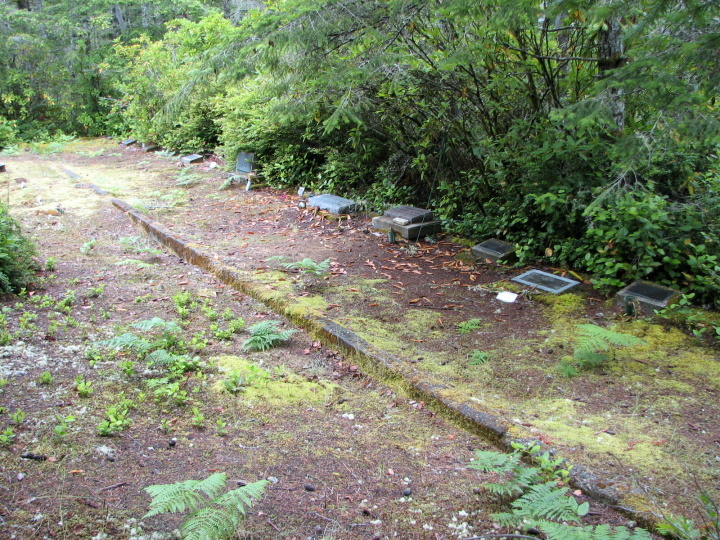
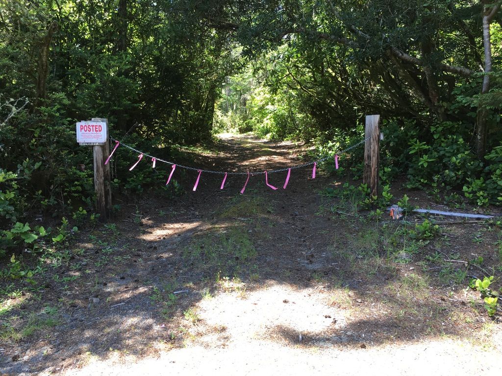
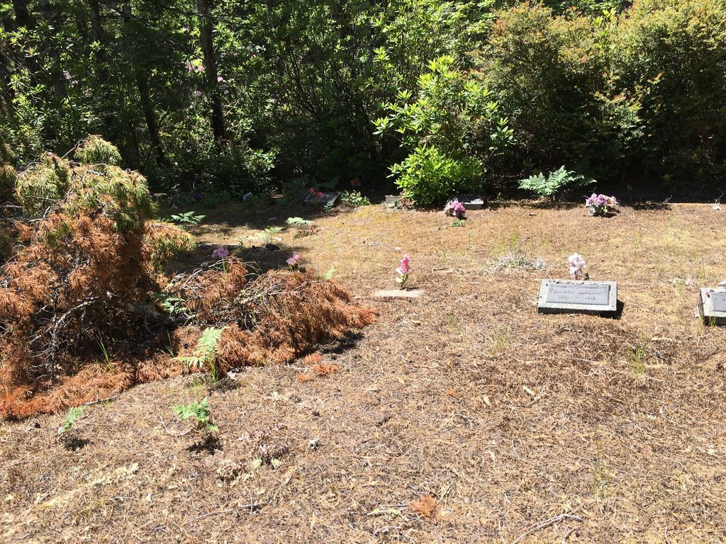
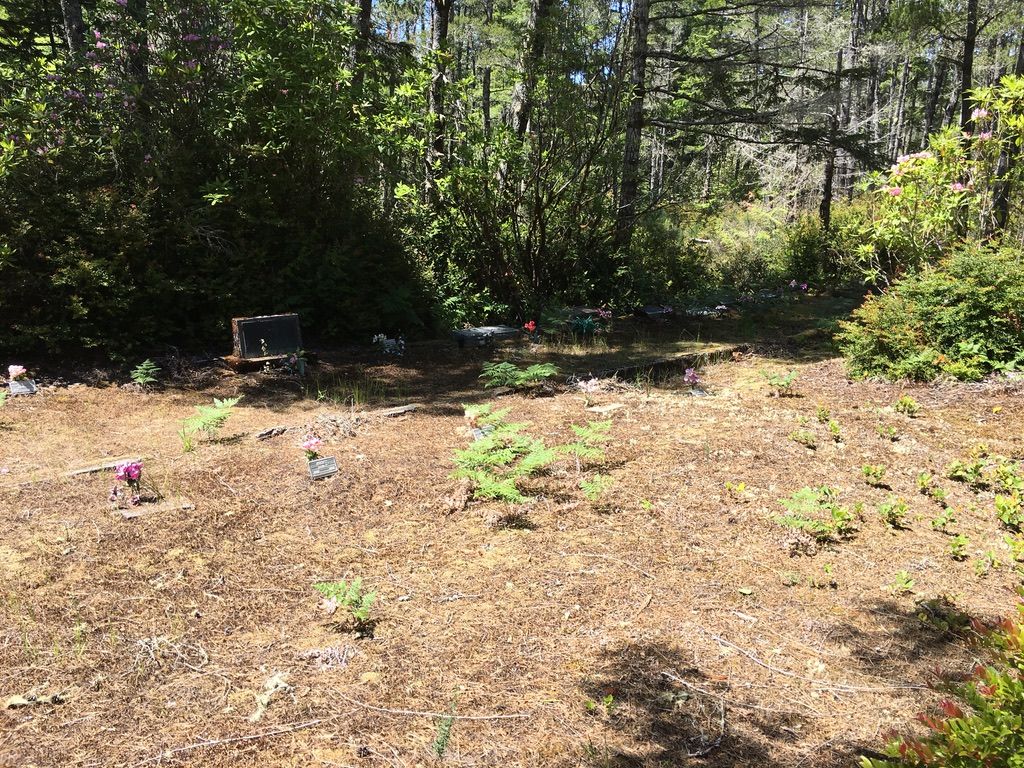
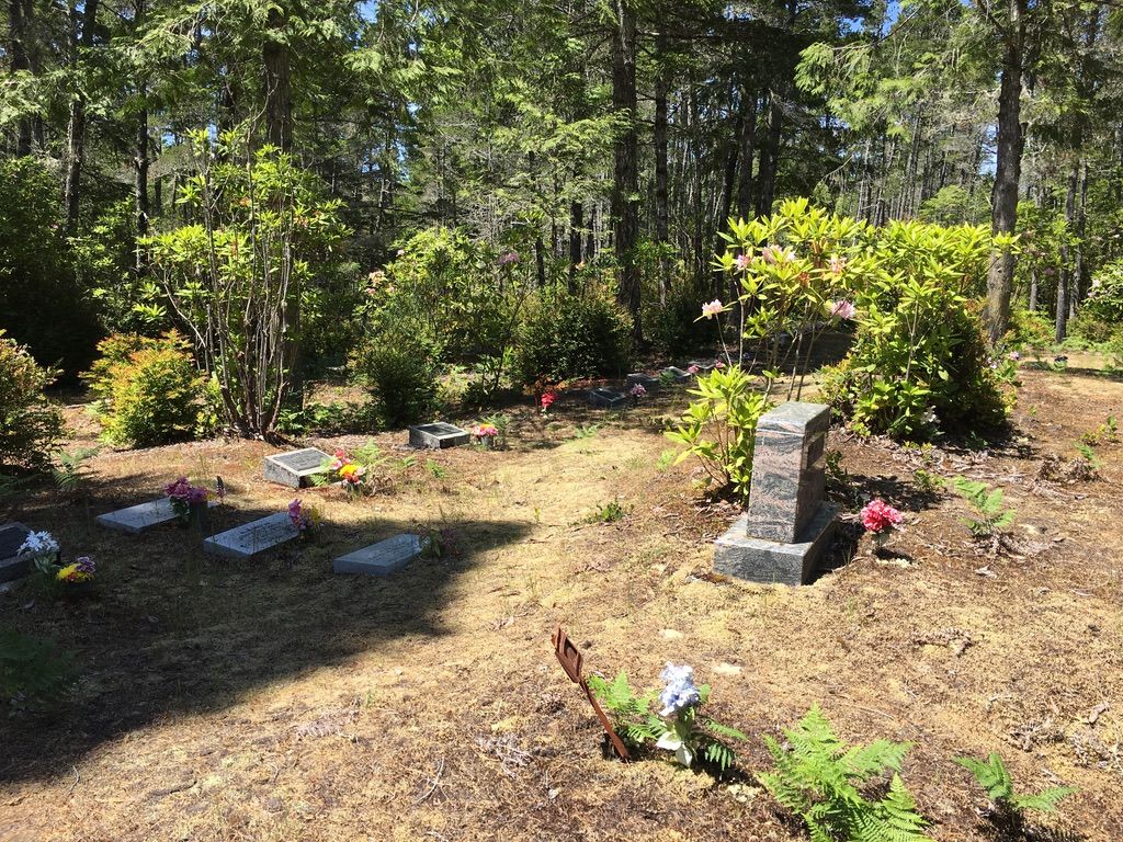
| Description | : | The Drew Cemetery (aka Ka'ish Cemetery) is privately owned by Anna Campbell of Grants Pass, Oregon. She has given permission for this cemetery to be listed and for photographs to be uploaded. This cemetery has gone by a number of names, including Chief Drew, Tom Johnson allotment, Peterman Tract, and the Cemetery of the Confederated Tribes of the Coos, Lower Umpqua and Siuslaw Indians. Despite the large sign stating "Chief Drew Memorial Cemetery" the owner states the correct name is the original Siuslaw name of "Ka'ish." Regardless of the name, we honor the individuals buried here. ... Read More |
frequently asked questions (FAQ):
-
Where is Drew Cemetery?
Drew Cemetery is located at Florence, Lane County ,Oregon ,USA.
-
Drew Cemetery cemetery's updated grave count on graveviews.com?
0 memorials
-
Where are the coordinates of the Drew Cemetery?
Latitude: 43.9864006
Longitude: -124.0811005
Nearby Cemetories:
1. Pacific Sunset Memorial Park Cemetery
Florence, Lane County, USA
Coordinate: 43.9782982, -124.0764008
2. Saint Andrew’s Episc. Church Garden of Remembrance
Florence, Lane County, USA
Coordinate: 43.9835900, -124.0972900
3. New Life Lutheran Memorial Garden
Florence, Lane County, USA
Coordinate: 43.9850000, -124.0983000
4. Glenada-Odd Fellows Cemetery
Glenada, Lane County, USA
Coordinate: 43.9526596, -124.0942230
5. Haring Cemetery
Florence, Lane County, USA
Coordinate: 44.0181007, -124.0417023
6. Fir Grove Cemetery
Ada, Lane County, USA
Coordinate: 43.8662000, -124.0453000
7. Mapleton Pioneer Cemetery
Mapleton, Lane County, USA
Coordinate: 44.0261002, -123.8582993
8. Indian Creek Cemetery
Swisshome, Lane County, USA
Coordinate: 44.1346000, -123.8479000
9. Lower Smith River Cemetery
Douglas County, USA
Coordinate: 43.7860985, -123.9332962
10. Sherrett-Lyster Cemetery
Reedsport, Douglas County, USA
Coordinate: 43.7850720, -123.9338280
11. Bray Family Cemetery
Lane County, USA
Coordinate: 44.2230500, -124.1106000
12. Gardiner Cemetery
Gardiner, Douglas County, USA
Coordinate: 43.7352982, -124.1091995
13. Deadwood Cemetery
Deadwood, Lane County, USA
Coordinate: 44.0957985, -123.7518997
14. Maderis Grave Site
Lane County, USA
Coordinate: 44.2303009, -123.9210968
15. Linslaw Cemetery
Richardson, Lane County, USA
Coordinate: 44.0018997, -123.6761017
16. Dunes Memorial Mausoleum
Reedsport, Douglas County, USA
Coordinate: 43.6952450, -124.1251020
17. Reedsport Masonic Cemetery
Reedsport, Douglas County, USA
Coordinate: 43.6903000, -124.1318970
18. Carson Cemetery
Yachats, Lincoln County, USA
Coordinate: 44.2949982, -124.0074997
19. Fisherman's Memorial Rose Garden
Reedsport, Douglas County, USA
Coordinate: 43.6759000, -124.1795900
20. Alma Cemetery
Alma, Lane County, USA
Coordinate: 43.9371000, -123.6347000
21. Alpha Farm Cemetery
Deadwood, Lane County, USA
Coordinate: 44.1651720, -123.7006790
22. Yachats Memorial Park
Yachats, Lincoln County, USA
Coordinate: 44.3196983, -124.0982971
23. Chickahominy Cemetery
Lane County, USA
Coordinate: 44.0792007, -123.5721970
24. Walton Cemetery
Walton, Lane County, USA
Coordinate: 44.0341988, -123.5571976