
| Memorials | : | 2 |
| Location | : | Glenada, Lane County, USA |
| Coordinate | : | 43.9526596, -124.0942230 |
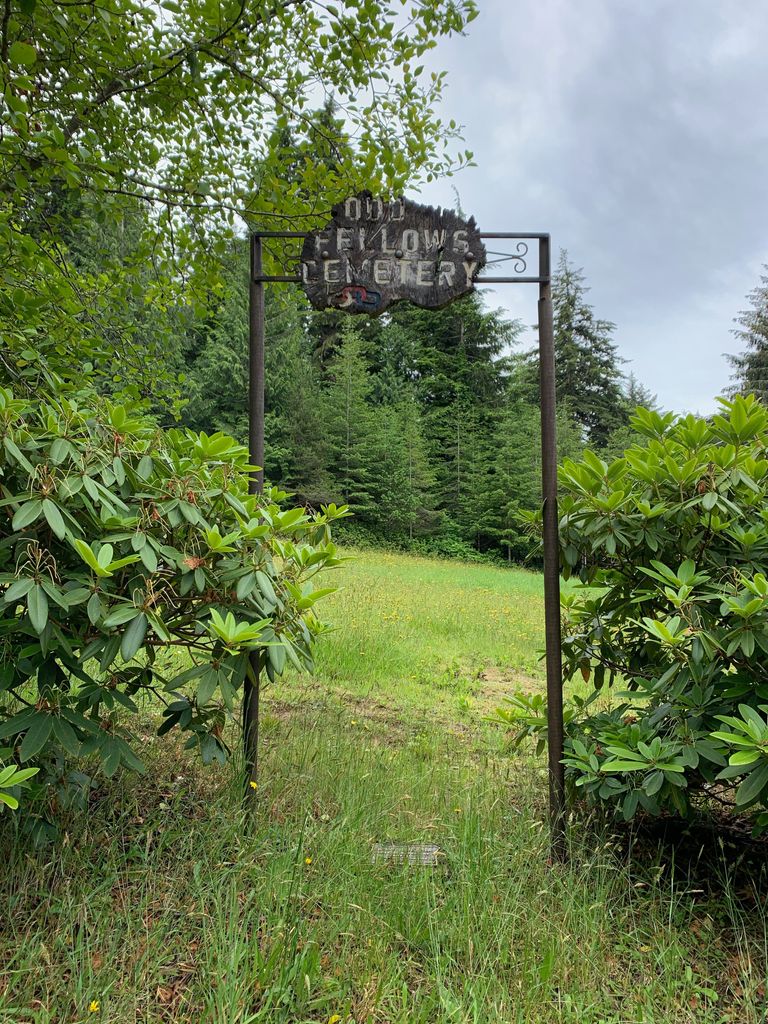
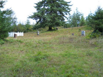
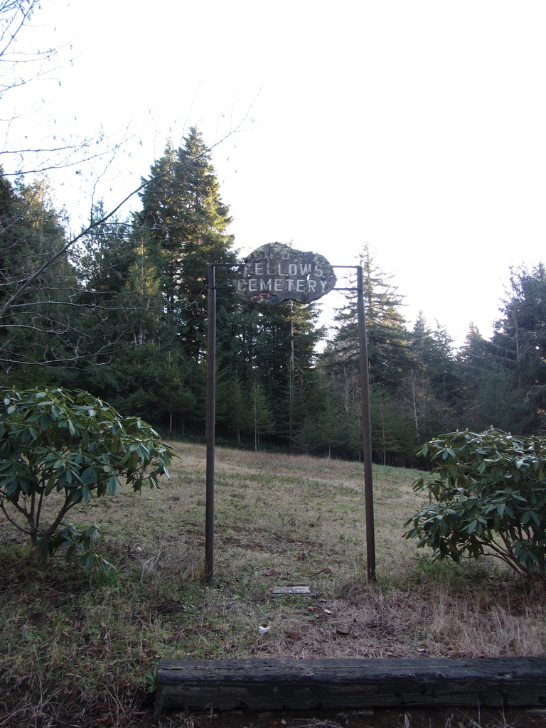
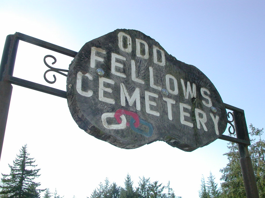
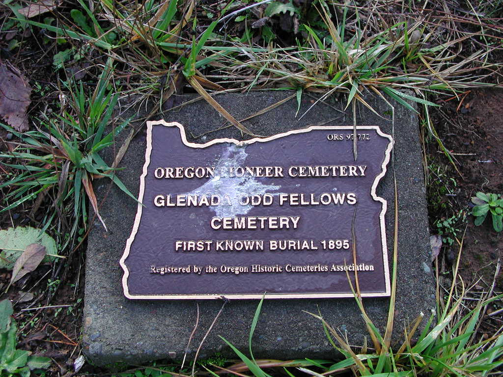
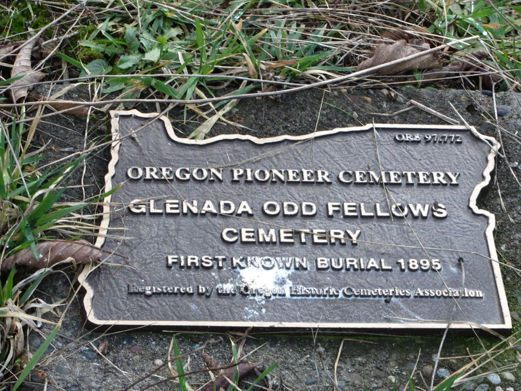
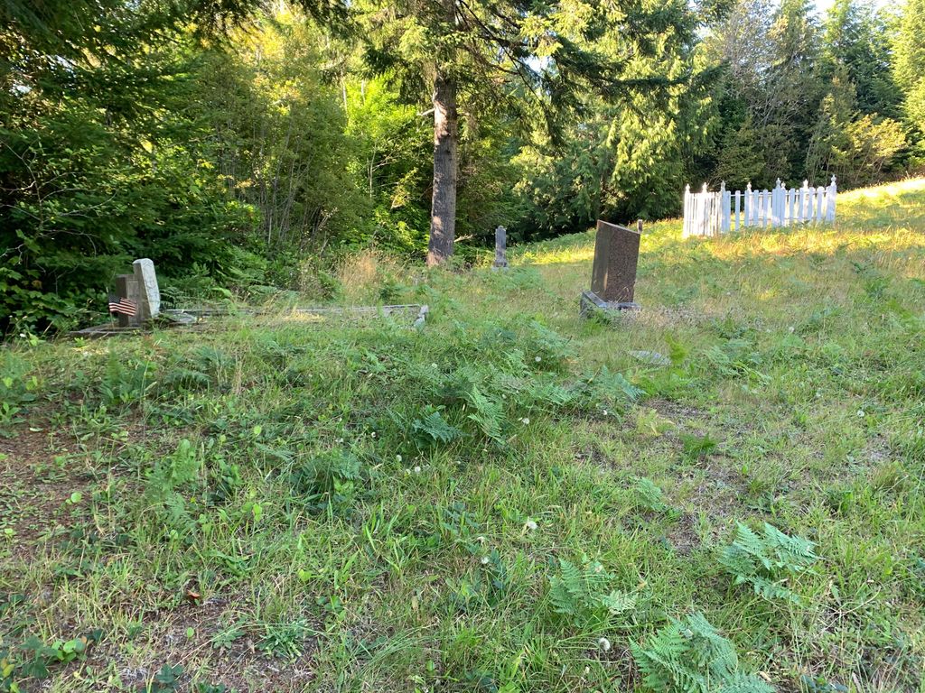
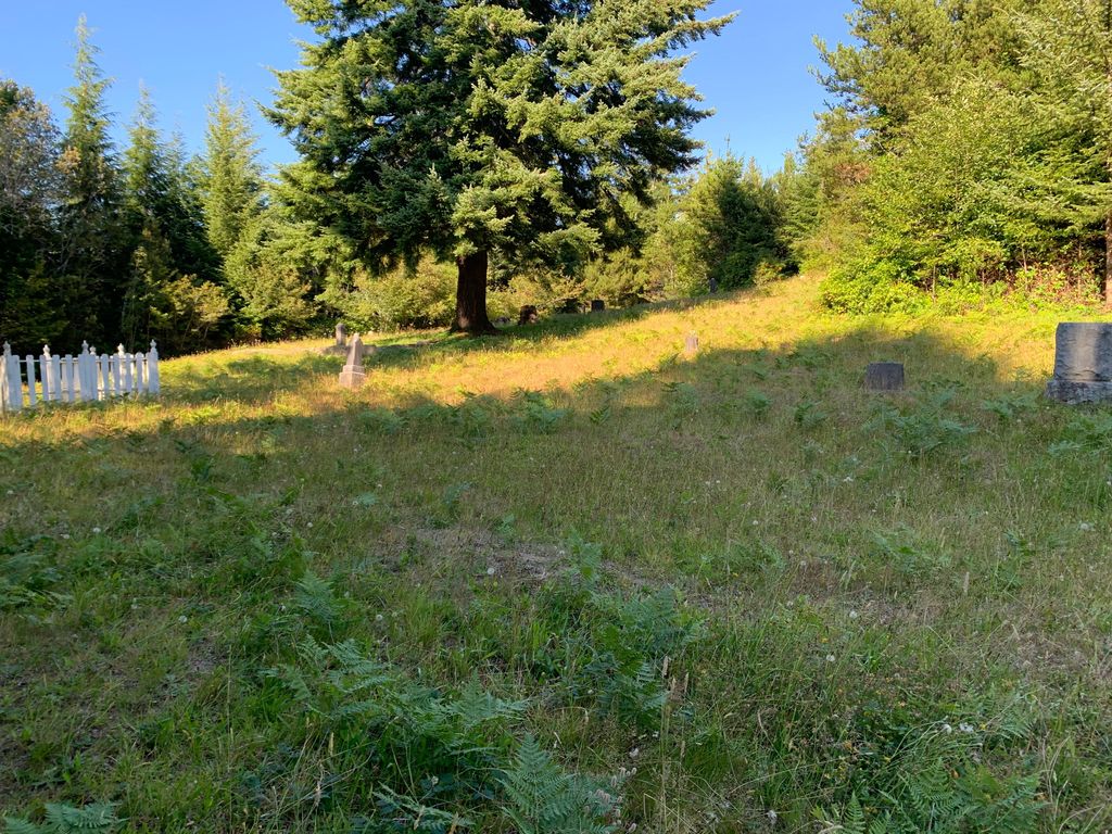
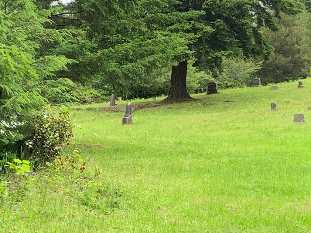
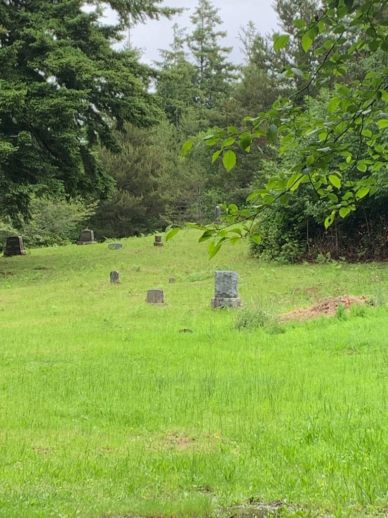
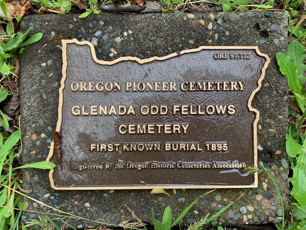
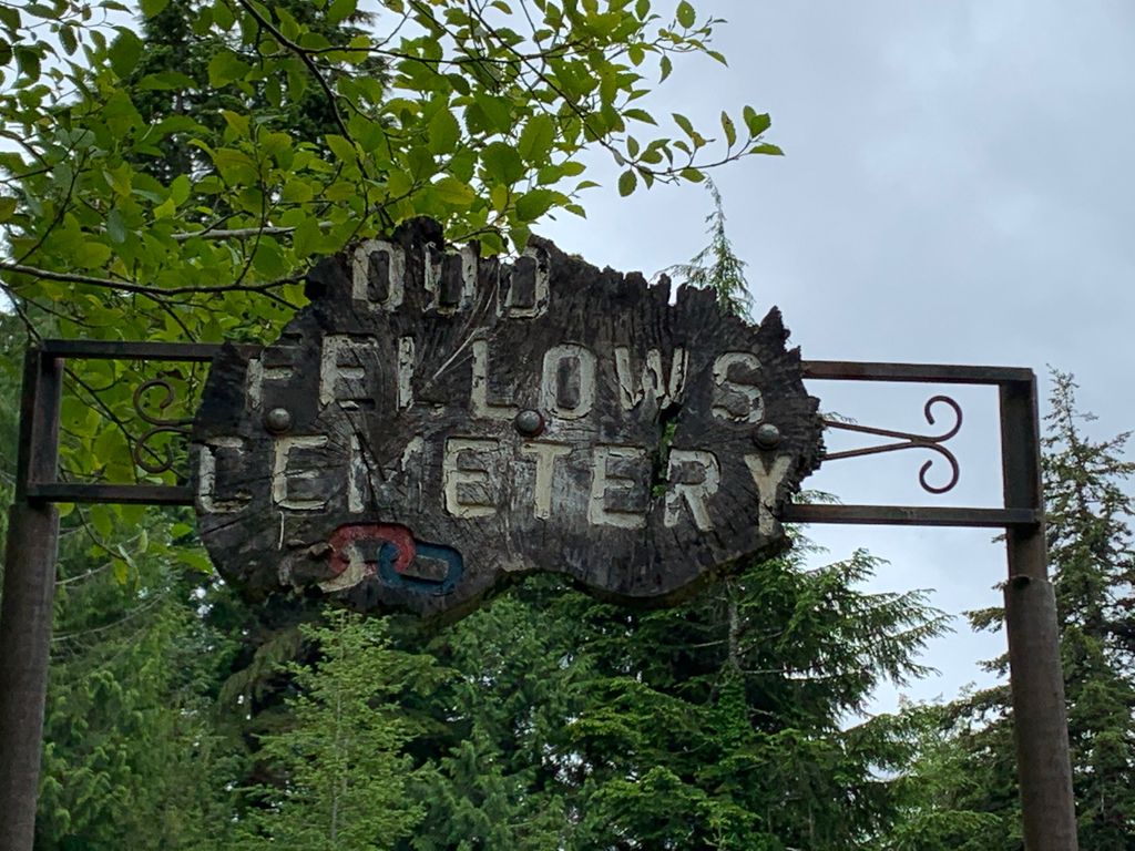
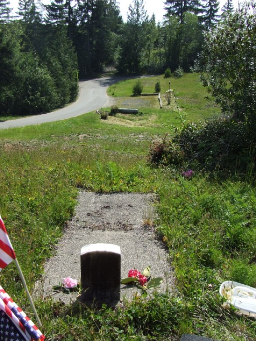
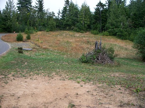
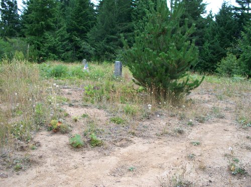
| Description | : | This cemetery is owned, preserved, and maintained by the Glenada-Odd Fellows Cemetery Association. Any person with further information about the people buried in this cemetery or who would like to help protect and maintain it, is encouraged to contact the Association at P.O. Box 1162, Florence, OR 97439. The Association's website is at: http://www.rootsweb.ancestry.com/~orgofca/ The Glenada-Odd Fellows Cemetery, located approximately 2 miles south of Florence, Oregon, is one of the oldest cemeteries in western Lane County. It was established in 1892 by the Heceta Lodge #111 of the Independent Order of Odd Fellows (IOOF). There are approximately 140 burials... Read More |
frequently asked questions (FAQ):
-
Where is Glenada-Odd Fellows Cemetery?
Glenada-Odd Fellows Cemetery is located at Glenada, Lane County ,Oregon ,USA.
-
Glenada-Odd Fellows Cemetery cemetery's updated grave count on graveviews.com?
2 memorials
-
Where are the coordinates of the Glenada-Odd Fellows Cemetery?
Latitude: 43.9526596
Longitude: -124.0942230
Nearby Cemetories:
1. Pacific Sunset Memorial Park Cemetery
Florence, Lane County, USA
Coordinate: 43.9782982, -124.0764008
2. Saint Andrew’s Episc. Church Garden of Remembrance
Florence, Lane County, USA
Coordinate: 43.9835900, -124.0972900
3. New Life Lutheran Memorial Garden
Florence, Lane County, USA
Coordinate: 43.9850000, -124.0983000
4. Drew Cemetery
Florence, Lane County, USA
Coordinate: 43.9864006, -124.0811005
5. Haring Cemetery
Florence, Lane County, USA
Coordinate: 44.0181007, -124.0417023
6. Fir Grove Cemetery
Ada, Lane County, USA
Coordinate: 43.8662000, -124.0453000
7. Mapleton Pioneer Cemetery
Mapleton, Lane County, USA
Coordinate: 44.0261002, -123.8582993
8. Lower Smith River Cemetery
Douglas County, USA
Coordinate: 43.7860985, -123.9332962
9. Sherrett-Lyster Cemetery
Reedsport, Douglas County, USA
Coordinate: 43.7850720, -123.9338280
10. Gardiner Cemetery
Gardiner, Douglas County, USA
Coordinate: 43.7352982, -124.1091995
11. Indian Creek Cemetery
Swisshome, Lane County, USA
Coordinate: 44.1346000, -123.8479000
12. Dunes Memorial Mausoleum
Reedsport, Douglas County, USA
Coordinate: 43.6952450, -124.1251020
13. Reedsport Masonic Cemetery
Reedsport, Douglas County, USA
Coordinate: 43.6903000, -124.1318970
14. Bray Family Cemetery
Lane County, USA
Coordinate: 44.2230500, -124.1106000
15. Fisherman's Memorial Rose Garden
Reedsport, Douglas County, USA
Coordinate: 43.6759000, -124.1795900
16. Deadwood Cemetery
Deadwood, Lane County, USA
Coordinate: 44.0957985, -123.7518997
17. Maderis Grave Site
Lane County, USA
Coordinate: 44.2303009, -123.9210968
18. Linslaw Cemetery
Richardson, Lane County, USA
Coordinate: 44.0018997, -123.6761017
19. Alma Cemetery
Alma, Lane County, USA
Coordinate: 43.9371000, -123.6347000
20. Carson Cemetery
Yachats, Lincoln County, USA
Coordinate: 44.2949982, -124.0074997
21. Alpha Farm Cemetery
Deadwood, Lane County, USA
Coordinate: 44.1651720, -123.7006790
22. Scottsburg Cemetery
Scottsburg, Douglas County, USA
Coordinate: 43.6693993, -123.7846985
23. Yachats Memorial Park
Yachats, Lincoln County, USA
Coordinate: 44.3196983, -124.0982971
24. Lakeside Cemetery
Lakeside, Coos County, USA
Coordinate: 43.5780983, -124.1836014