
| Memorials | : | 5 |
| Location | : | Seymour, Jackson County, USA |
| Coordinate | : | 38.9322690, -85.8433030 |
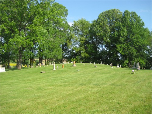
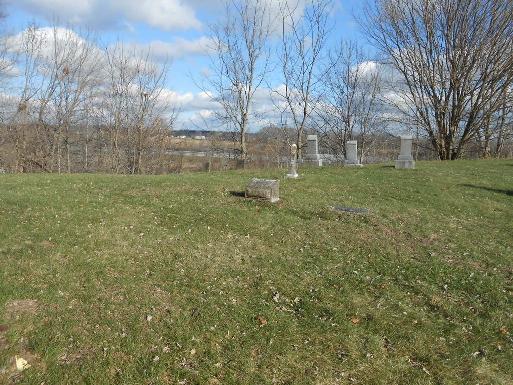
| Description | : | Driftwood Cemetery is located in Jackson Township, southeast of Seymour. There is no sign to indicate the cemetery. A small roundabout for parking can be found at the southern end of the cemetery. Some older records may also refer to this location as Quaker Cemetery or Friends Cemetery. A survey in 1991 noted the presence of a building foundation and basement, which may be the remains of a meeting house. Other small cemeteries in Jackson County have used (or continue to use) the names Driftwood, Quaker, and Friends, so take care to verify burial sites and records. ... Read More |
frequently asked questions (FAQ):
-
Where is Driftwood Cemetery?
Driftwood Cemetery is located at 3439 N County Road 1040 E Seymour, Jackson County ,Indiana , 47274USA.
-
Driftwood Cemetery cemetery's updated grave count on graveviews.com?
4 memorials
-
Where are the coordinates of the Driftwood Cemetery?
Latitude: 38.9322690
Longitude: -85.8433030
Nearby Cemetories:
1. Gardner-Cox Cemetery
Rockford, Jackson County, USA
Coordinate: 38.9233017, -85.8630981
2. Farmington Cemetery
Seymour, Jackson County, USA
Coordinate: 38.9303017, -85.8681030
3. Friends Cemetery
New Farmington, Jackson County, USA
Coordinate: 38.9250980, -85.8783220
4. Huffman Cemetery
Seymour, Jackson County, USA
Coordinate: 38.9602490, -85.8718070
5. Barkman Cemetery
Kriete Corner, Jackson County, USA
Coordinate: 38.8998800, -85.8219700
6. Barkman Cemetery
Jennings County, USA
Coordinate: 38.9263140, -85.7947040
7. Moore Cemetery
Jackson County, USA
Coordinate: 38.9058849, -85.8800927
8. City Cemetery
Seymour, Jackson County, USA
Coordinate: 38.9680200, -85.8898900
9. Saint Paul United Church of Christ Cemetery
Seymour, Jackson County, USA
Coordinate: 38.9688830, -85.8907330
10. Hunt Cemetery
Jennings County, USA
Coordinate: 38.9663770, -85.7926200
11. Saint Ambrose Catholic Cemetery
Seymour, Jackson County, USA
Coordinate: 38.9696999, -85.8906021
12. Myers Cemetery
Jennings County, USA
Coordinate: 38.9053001, -85.7838974
13. Chestnut Ridge Cemetery
Dudleytown, Jackson County, USA
Coordinate: 38.8843994, -85.8855972
14. Conologue Cemetery
Fleming, Jackson County, USA
Coordinate: 38.9837914, -85.8070145
15. Convear-Downs Cemetery
Jennings County, USA
Coordinate: 38.9537200, -85.7727650
16. Riverview Cemetery
Seymour, Jackson County, USA
Coordinate: 38.9781600, -85.8930500
17. Immanuel Lutheran Cemetery
Seymour, Jackson County, USA
Coordinate: 38.9530983, -85.9178009
18. Marling Cemetery
Uniontown, Jackson County, USA
Coordinate: 38.8708440, -85.8193810
19. Bedel Cemetery
Uniontown, Jackson County, USA
Coordinate: 38.8652830, -85.8375390
20. Crane Cemetery
Seymour, Jackson County, USA
Coordinate: 38.9386080, -85.9310890
21. Spall Cemetery
Uniontown, Jackson County, USA
Coordinate: 38.8638590, -85.8319600
22. Old Rockford Cemetery
Rockford, Jackson County, USA
Coordinate: 38.9874190, -85.8976240
23. Wohrer Cemetery
Jennings County, USA
Coordinate: 38.9835110, -85.7780690
24. Johnson-King Cemetery
Uniontown, Jackson County, USA
Coordinate: 38.8581490, -85.8320830