| Memorials | : | 0 |
| Location | : | High Hill, Montgomery County, USA |
| Coordinate | : | 38.9012900, -91.3764700 |
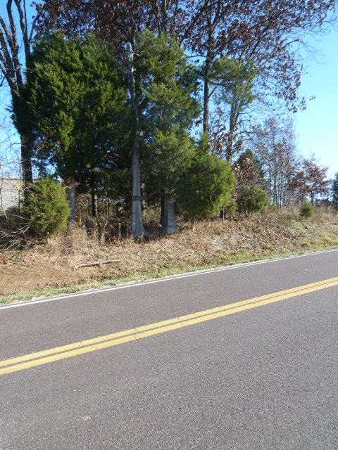
| Description | : | Directions per the Montgomery County Historical Society, Montgomery City, MO: NW1/4 of NW1/4 Sec 28 TWN 48N R4W. On Highway F North of High Hill, MO East side of highway on opposite side of road and down a short distance from Mount Pleasant Cemetery, High Hill, MO. Dryden Cemetery has only one stone and it is located on private property (which was once the Dryden family farm). Dryden Cemetery is on the East side of Highway F, just passed the Mount Pleasant Cemetery which is on the West side of Highway F in Montgomery County, High Hill, Missouri. |
frequently asked questions (FAQ):
-
Where is Dryden Cemetery?
Dryden Cemetery is located at High Hill, Montgomery County ,Missouri ,USA.
-
Dryden Cemetery cemetery's updated grave count on graveviews.com?
0 memorials
-
Where are the coordinates of the Dryden Cemetery?
Latitude: 38.9012900
Longitude: -91.3764700
Nearby Cemetories:
1. Mount Pleasant Cemetery
High Hill, Montgomery County, USA
Coordinate: 38.8997002, -91.3775024
2. Saint Paul's Evangelical Lutheran Cemetery
Montgomery County, USA
Coordinate: 38.9043999, -91.3103027
3. Price's Branch Cemetery
Montgomery County, USA
Coordinate: 38.9492800, -91.3399600
4. New Florence Cemetery
New Florence, Montgomery County, USA
Coordinate: 38.9099998, -91.4625015
5. Saint Patrick Catholic Cemetery
Jonesburg, Montgomery County, USA
Coordinate: 38.8575300, -91.3068300
6. Hugo Cemetery
New Florence, Montgomery County, USA
Coordinate: 38.8524260, -91.4437290
7. Jonesburg City Cemetery
Jonesburg, Montgomery County, USA
Coordinate: 38.8492851, -91.3033142
8. Brown-Zumwalt Burials
Jonesburg, Montgomery County, USA
Coordinate: 38.9236260, -91.2696080
9. Bellflower Cemetery
Bellflower, Montgomery County, USA
Coordinate: 38.9994400, -91.3454300
10. Baptist Cemetery of Bellflower
Bellflower, Montgomery County, USA
Coordinate: 38.9864006, -91.3041992
11. Bond Burials
Danville, Montgomery County, USA
Coordinate: 38.9108050, -91.5137100
12. Bush-Stewart Burials
Danville, Montgomery County, USA
Coordinate: 38.9117400, -91.5142250
13. Uthlaut Cemetery
Montgomery County, USA
Coordinate: 38.8017006, -91.4392014
14. Liberty Baptist Church Cemetery
Big Spring, Montgomery County, USA
Coordinate: 38.8054100, -91.4769300
15. Saint James Evangelical Cemetery
Big Spring, Montgomery County, USA
Coordinate: 38.8002700, -91.4720100
16. Niedergerke Cemetery
Big Spring, Montgomery County, USA
Coordinate: 38.8021584, -91.4764175
17. Montgomery City Cemetery
Montgomery City, Montgomery County, USA
Coordinate: 38.9716000, -91.5137000
18. Big Spring United Methodist Church Cemetery
Big Spring, Montgomery County, USA
Coordinate: 38.8033791, -91.4827271
19. Worland Cemetery
Montgomery City, Montgomery County, USA
Coordinate: 38.9639015, -91.5233002
20. Saint Marys Cemetery
Montgomery City, Montgomery County, USA
Coordinate: 38.9744300, -91.5226500
21. White Cemetery
Montgomery City, Montgomery County, USA
Coordinate: 39.0031013, -91.4950027
22. Carrell Cemetery
Big Spring, Montgomery County, USA
Coordinate: 38.7942800, -91.4871100
23. Snethen Cemetery
Montgomery County, USA
Coordinate: 38.8013992, -91.4991989
24. Gregory Cemetery
Montgomery County, USA
Coordinate: 38.9014015, -91.5569000


