
| Memorials | : | 0 |
| Location | : | Montgomery County, USA |
| Coordinate | : | 38.9043999, -91.3103027 |
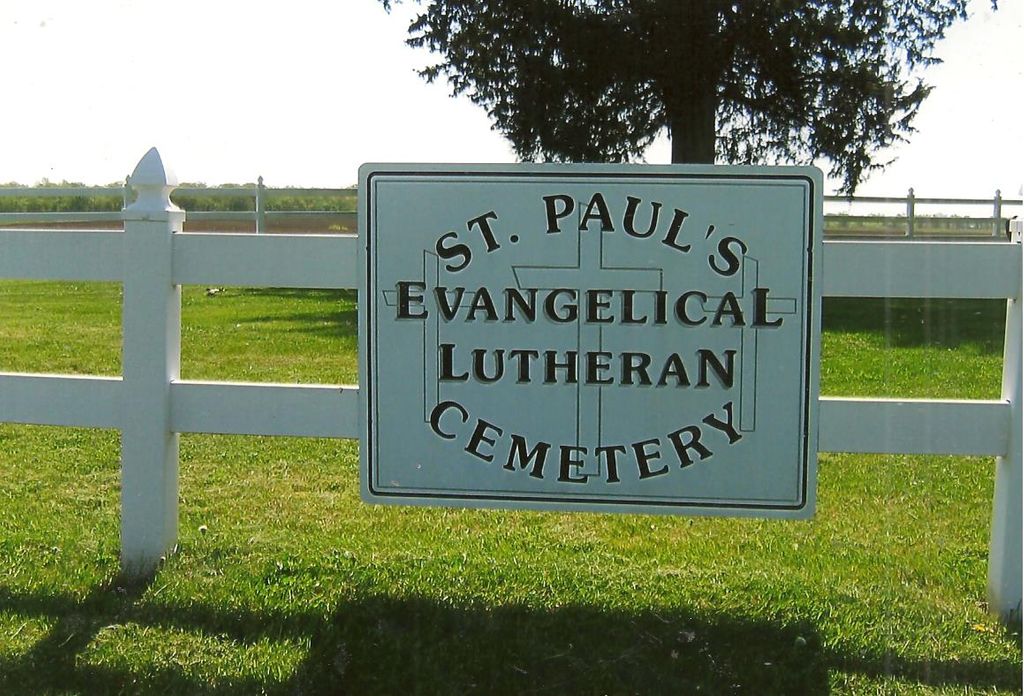
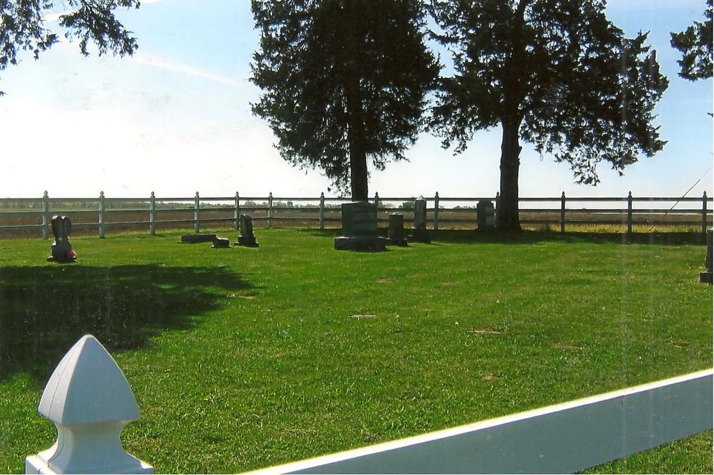
| Description | : | The cemetery is associated with St. Paul’s Lutheran Church of Jonesburg, Missouri. Land for a small church and cemetery at the intersection of Highway E and Highway FF (about 3.5 miles north of Jonesburg) in Montgomery County, Missouri was donated by John Henry Carl Fischer. The church was erected in 1898, enlarged in 1948, and sold when a new church building was erected in Jonesburg in 1967. |
frequently asked questions (FAQ):
-
Where is Saint Paul's Evangelical Lutheran Cemetery?
Saint Paul's Evangelical Lutheran Cemetery is located at Montgomery County ,Missouri ,USA.
-
Saint Paul's Evangelical Lutheran Cemetery cemetery's updated grave count on graveviews.com?
0 memorials
-
Where are the coordinates of the Saint Paul's Evangelical Lutheran Cemetery?
Latitude: 38.9043999
Longitude: -91.3103027
Nearby Cemetories:
1. Brown-Zumwalt Burials
Jonesburg, Montgomery County, USA
Coordinate: 38.9236260, -91.2696080
2. Saint Patrick Catholic Cemetery
Jonesburg, Montgomery County, USA
Coordinate: 38.8575300, -91.3068300
3. Price's Branch Cemetery
Montgomery County, USA
Coordinate: 38.9492800, -91.3399600
4. Dryden Cemetery
High Hill, Montgomery County, USA
Coordinate: 38.9012900, -91.3764700
5. Mount Pleasant Cemetery
High Hill, Montgomery County, USA
Coordinate: 38.8997002, -91.3775024
6. Jonesburg City Cemetery
Jonesburg, Montgomery County, USA
Coordinate: 38.8492851, -91.3033142
7. Baptist Cemetery of Bellflower
Bellflower, Montgomery County, USA
Coordinate: 38.9864006, -91.3041992
8. Bellflower Cemetery
Bellflower, Montgomery County, USA
Coordinate: 38.9994400, -91.3454300
9. Truxton Cemetery
Truxton, Lincoln County, USA
Coordinate: 39.0005000, -91.2407000
10. Truxton Zion Cemetery
Truxton, Lincoln County, USA
Coordinate: 38.9955400, -91.2265100
11. Anson Cemetery
Lincoln County, USA
Coordinate: 38.9964790, -91.2257919
12. Hugo Cemetery
New Florence, Montgomery County, USA
Coordinate: 38.8524260, -91.4437290
13. Pennington Cemetery
Truxton, Lincoln County, USA
Coordinate: 38.9924600, -91.2121500
14. New Florence Cemetery
New Florence, Montgomery County, USA
Coordinate: 38.9099998, -91.4625015
15. Owings Cemetery
Truxton, Lincoln County, USA
Coordinate: 39.0214005, -91.2469025
16. Uthlaut Cemetery
Montgomery County, USA
Coordinate: 38.8017006, -91.4392014
17. Copher Cemetery
Lincoln County, USA
Coordinate: 38.9947701, -91.1655807
18. Elmore Cemetery
Hawk Point, Lincoln County, USA
Coordinate: 38.9536018, -91.1343994
19. Cannon Cemetery
Hawk Point, Lincoln County, USA
Coordinate: 38.9846992, -91.1519012
20. Hawk Point Cemetery
Hawk Point, Lincoln County, USA
Coordinate: 38.9749985, -91.1444016
21. Brush Creek Cemetery
Gamma, Montgomery County, USA
Coordinate: 39.0543300, -91.3203500
22. Union Chapel Cemetery
Montgomery County, USA
Coordinate: 39.0489006, -91.3732986
23. Fines Cemetery
Truxton, Lincoln County, USA
Coordinate: 38.9738900, -91.1304800
24. Bond Burials
Danville, Montgomery County, USA
Coordinate: 38.9108050, -91.5137100