
| Memorials | : | 3 |
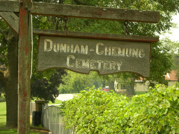
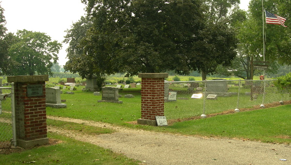
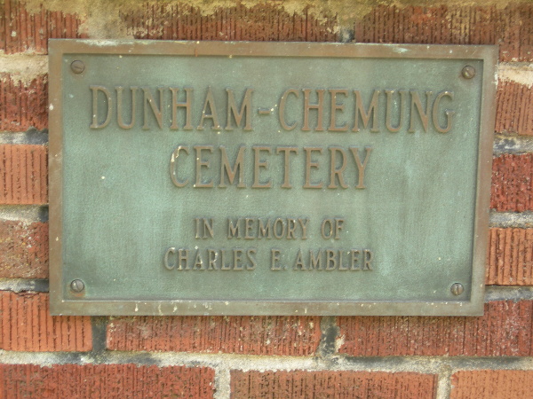
| Location | : | Chemung, McHenry County, USA |
| Coordinate | : | 42.4125300, -88.6692400 |
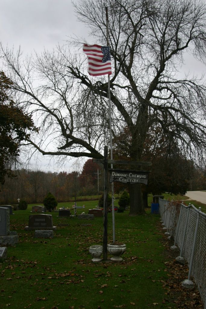
| Description | : | Little is known about the origins of this cemetery. On December 8, 1845, Henry Stevens received a government patent on the land and his son, Hiram, is buried here. The earliest remaining gravestones only date back to 1852; yet, the 1885 History of McHenry County Illinois claims it is one of the oldest cemeteries in the county. Perhaps it developed as a village burial ground during the period when Chemung was rapidly growing. It is also possible that it began as a church cemetery to serve the Methodists who organized in the area in 1846. The children of two Methodist... Read More |
frequently asked questions (FAQ):
-
Where is Dunham-Chemung Cemetery?
Dunham-Chemung Cemetery is located at Chemung, McHenry County ,Illinois ,USA.
-
Dunham-Chemung Cemetery cemetery's updated grave count on graveviews.com?
1 memorials
-
Where are the coordinates of the Dunham-Chemung Cemetery?
Latitude: 42.4125300
Longitude: -88.6692400
Nearby Cemetories:
1. Chemung Cemetery
Chemung, McHenry County, USA
Coordinate: 42.4188957, -88.6634445
2. Lawrence Cemetery
Lawrence, McHenry County, USA
Coordinate: 42.4316500, -88.6473500
3. Chester Cemetery
Capron, Boone County, USA
Coordinate: 42.3930610, -88.7206510
4. Saint Josephs Cemetery
Harvard, McHenry County, USA
Coordinate: 42.4141998, -88.6097031
5. Unity Church Cemetery
McHenry County, USA
Coordinate: 42.3712600, -88.6934000
6. Dullam Cemetery
Capron, Boone County, USA
Coordinate: 42.4361000, -88.7253036
7. Long Prairie Cemetery
Capron, Boone County, USA
Coordinate: 42.3930650, -88.7299200
8. County Line Cemetery
Capron, Boone County, USA
Coordinate: 42.3706017, -88.7061005
9. Jerome Cemetery
Harvard, McHenry County, USA
Coordinate: 42.4068985, -88.5982971
10. Capron Cemetery
Capron, Boone County, USA
Coordinate: 42.3949190, -88.7403330
11. Mount Auburn Cemetery
Harvard, McHenry County, USA
Coordinate: 42.4136009, -88.5932999
12. Burr Oak Cemetery
Boone County, USA
Coordinate: 42.4660400, -88.7200700
13. South Dunham Cemetery
McHenry County, USA
Coordinate: 42.3422012, -88.6181030
14. Coynes Cemetery
Boone County, USA
Coordinate: 42.4289017, -88.7938995
15. Big Foot Cemetery
Harvard, McHenry County, USA
Coordinate: 42.4920500, -88.5988200
16. Blaine Cemetery
Blaine, Boone County, USA
Coordinate: 42.4472300, -88.8005300
17. East Bonus Cemetery
Boone County, USA
Coordinate: 42.3128014, -88.7350006
18. Russellville Cemetery
Russellville, Boone County, USA
Coordinate: 42.3335991, -88.7838974
19. Valley of the Kings Sanctuary Burial Ground
Sharon, Walworth County, USA
Coordinate: 42.5296570, -88.6728190
20. Stone School Cemetery
Boone County, USA
Coordinate: 42.4782982, -88.8035965
21. Oakwood Cemetery
Sharon, Walworth County, USA
Coordinate: 42.5233002, -88.7313995
22. Poplar Grove Cemetery
Poplar Grove, Boone County, USA
Coordinate: 42.3722000, -88.8257980
23. Alden Cemetery
Alden, McHenry County, USA
Coordinate: 42.4636002, -88.5183029
24. Old Poplar Grove Cemetery
Poplar Grove, Boone County, USA
Coordinate: 42.3640600, -88.8224300