| Memorials | : | 0 |
| Location | : | Winchester, Randolph County, USA |
| Coordinate | : | 40.1610000, -85.0474000 |
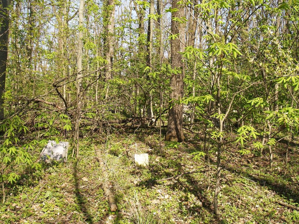
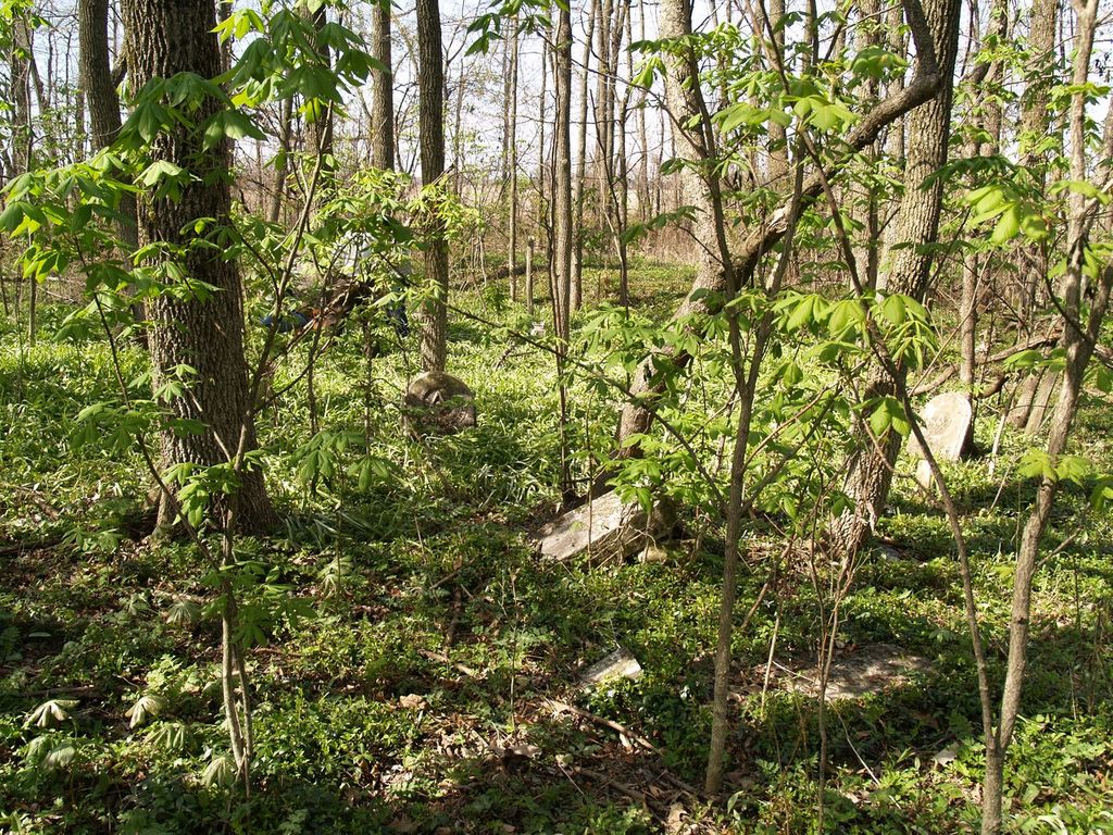
| Description | : | The cemetery is located between County Roads 300 and 400 West, on County Road 50 South. It is three and 1/2 miles west of Winchester, Section 26, Township 20, Range 14, located in the middle of a woods and abandoned for many years, it has been cleaned and stones reset. (Information from Indiana genweb site.) |
frequently asked questions (FAQ):
-
Where is Dunkirk Friends Cemetery?
Dunkirk Friends Cemetery is located at W County Road 50 S Winchester, Randolph County ,Indiana , 47394USA.
-
Dunkirk Friends Cemetery cemetery's updated grave count on graveviews.com?
0 memorials
-
Where are the coordinates of the Dunkirk Friends Cemetery?
Latitude: 40.1610000
Longitude: -85.0474000
Nearby Cemetories:
1. Mosier Cemetery
Maxville, Randolph County, USA
Coordinate: 40.1638985, -85.0736008
2. Clark Family Cemetery
Winchester, Randolph County, USA
Coordinate: 40.1796930, -85.0209190
3. Sparrow Creek Cemetery
Randolph County, USA
Coordinate: 40.1397700, -85.0760760
4. Woodlawn Cemetery
Maxville, Randolph County, USA
Coordinate: 40.1727370, -85.0969970
5. Old Winchester Cemetery
Winchester, Randolph County, USA
Coordinate: 40.1650240, -84.9867640
6. Buena Vista Cemetery
Winchester, Randolph County, USA
Coordinate: 40.1200752, -85.0810089
7. Fountain Park Cemetery
Winchester, Randolph County, USA
Coordinate: 40.1609520, -84.9775580
8. Bear Creek Cemetery
Farmland, Randolph County, USA
Coordinate: 40.2221985, -85.0492020
9. Lever Family Cemetery
Farmland, Randolph County, USA
Coordinate: 40.1492900, -85.1292110
10. Neff Cemetery
Randolph County, USA
Coordinate: 40.1392510, -84.9674760
11. Randolph County Asylum Cemetery
Winchester, Randolph County, USA
Coordinate: 40.1368810, -84.9675140
12. Whiteriver Cemetery
Randolph County, USA
Coordinate: 40.1790210, -84.9568140
13. Randolph County Unnamed Cemetery
Windsor, Randolph County, USA
Coordinate: 40.1636540, -85.1469310
14. Moffitt Cemetery
Winchester, Randolph County, USA
Coordinate: 40.1878014, -84.9518967
15. Cabin Creek Cemetery
Scott Corner, Randolph County, USA
Coordinate: 40.1119680, -85.1270590
16. Poplar Run Cemetery
Farmland, Randolph County, USA
Coordinate: 40.1208000, -85.1406021
17. Cedar Cemetery
Randolph County, USA
Coordinate: 40.1636581, -85.1568069
18. Mount Zion Cemetery
Winchester, Randolph County, USA
Coordinate: 40.1283836, -84.9345093
19. Huntsville Cemetery
Modoc, Randolph County, USA
Coordinate: 40.0699043, -85.0752182
20. Scott Cemetery
Randolph County, USA
Coordinate: 40.0891370, -85.1260940
21. Hopewell Cemetery
Farmland, Randolph County, USA
Coordinate: 40.2430763, -85.1137772
22. Garringer Family Cemetery
Parker City, Randolph County, USA
Coordinate: 40.2212000, -85.1561900
23. Rehoboth Cemetery
Parker City, Randolph County, USA
Coordinate: 40.2201600, -85.1651050
24. New Liberty Cemetery
Lynn, Randolph County, USA
Coordinate: 40.0626755, -84.9880219


