
| Memorials | : | 0 |
| Location | : | Winchester, Randolph County, USA |
| Coordinate | : | 40.1368810, -84.9675140 |
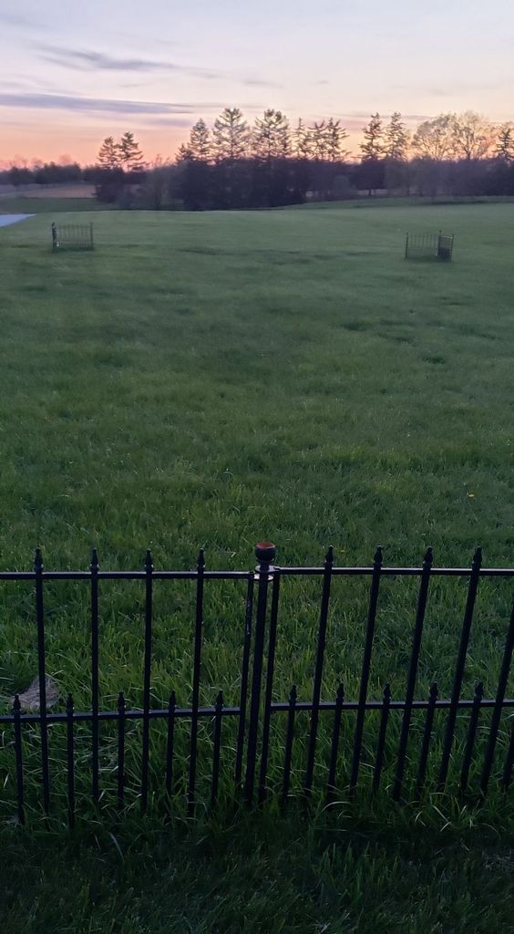
| Description | : | The Randolph County Poor Asylum/ Poor House/Poor Farm was first established in 1851. The current building was built in 1899. The cemetery has as many as 200 unmarked graves. Several patients died of TB at the home. The Neff Cemetery is about 700 feet north of the infirmary building and is not associated with the infirmary. The home and cemetery are privately owned now. |
frequently asked questions (FAQ):
-
Where is Randolph County Asylum Cemetery?
Randolph County Asylum Cemetery is located at 1882 US 27 South Winchester, Randolph County ,Indiana , 47394USA.
-
Randolph County Asylum Cemetery cemetery's updated grave count on graveviews.com?
0 memorials
-
Where are the coordinates of the Randolph County Asylum Cemetery?
Latitude: 40.1368810
Longitude: -84.9675140
Nearby Cemetories:
1. Neff Cemetery
Randolph County, USA
Coordinate: 40.1392510, -84.9674760
2. Fountain Park Cemetery
Winchester, Randolph County, USA
Coordinate: 40.1609520, -84.9775580
3. Mount Zion Cemetery
Winchester, Randolph County, USA
Coordinate: 40.1283836, -84.9345093
4. Old Winchester Cemetery
Winchester, Randolph County, USA
Coordinate: 40.1650240, -84.9867640
5. Whiteriver Cemetery
Randolph County, USA
Coordinate: 40.1790210, -84.9568140
6. Mount Pleasant Cemetery
Lynn, Randolph County, USA
Coordinate: 40.0899000, -84.9387900
7. Moffitt Cemetery
Winchester, Randolph County, USA
Coordinate: 40.1878014, -84.9518967
8. Jericho Cemetery
Winchester, Randolph County, USA
Coordinate: 40.1504230, -84.9007570
9. Clark Family Cemetery
Winchester, Randolph County, USA
Coordinate: 40.1796930, -85.0209190
10. Old Jericho Burying Ground
Harrisville, Randolph County, USA
Coordinate: 40.1574470, -84.8860040
11. Dunkirk Friends Cemetery
Winchester, Randolph County, USA
Coordinate: 40.1610000, -85.0474000
12. New Liberty Cemetery
Lynn, Randolph County, USA
Coordinate: 40.0626755, -84.9880219
13. Sparrow Creek Cemetery
Randolph County, USA
Coordinate: 40.1397700, -85.0760760
14. Shockney Cemetery
Randolph County, USA
Coordinate: 40.1518420, -84.8581410
15. Mosier Cemetery
Maxville, Randolph County, USA
Coordinate: 40.1638985, -85.0736008
16. Bartonia Cemetery
Randolph County, USA
Coordinate: 40.1169014, -84.8578033
17. Buena Vista Cemetery
Winchester, Randolph County, USA
Coordinate: 40.1200752, -85.0810089
18. Cherry Grove Cemetery
Lynn, Randolph County, USA
Coordinate: 40.0359980, -84.9697480
19. Whitesell-Conklin Cemetery
Union City, Randolph County, USA
Coordinate: 40.2000008, -84.8621979
20. Saratoga Cemetery
Saratoga, Randolph County, USA
Coordinate: 40.2364006, -84.9233017
21. Woodlawn Cemetery
Maxville, Randolph County, USA
Coordinate: 40.1727370, -85.0969970
22. Bear Creek Cemetery
Farmland, Randolph County, USA
Coordinate: 40.2221985, -85.0492020
23. Huntsville Cemetery
Modoc, Randolph County, USA
Coordinate: 40.0699043, -85.0752182
24. Spartanburg Cemetery
Spartanburg, Randolph County, USA
Coordinate: 40.0678101, -84.8513718