
| Memorials | : | 395 |
| Location | : | Dupont, Jefferson County, USA |
| Coordinate | : | 38.8847122, -85.5181503 |
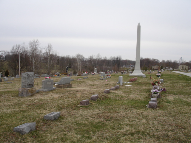
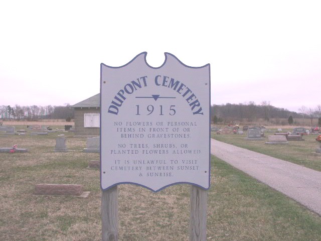
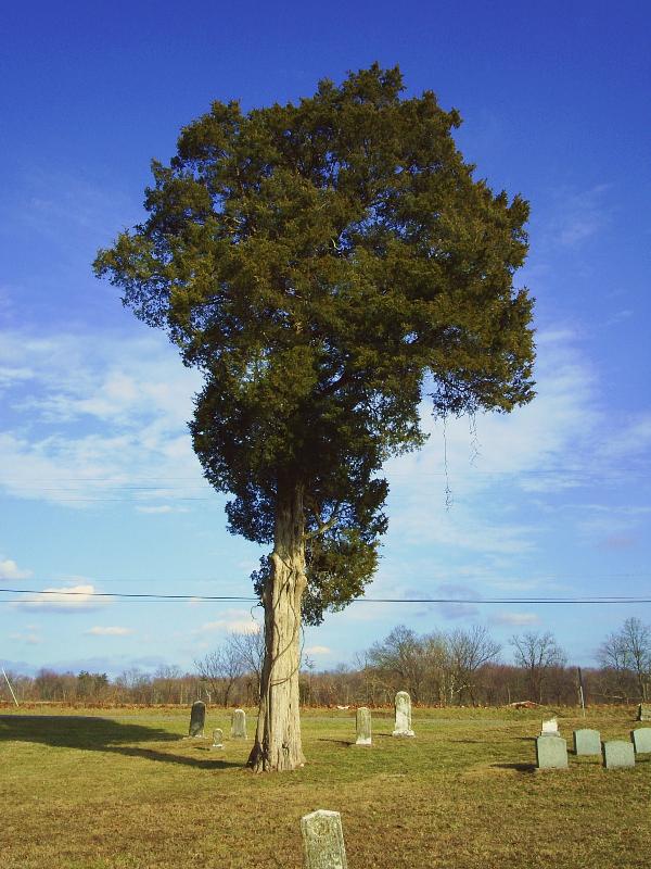
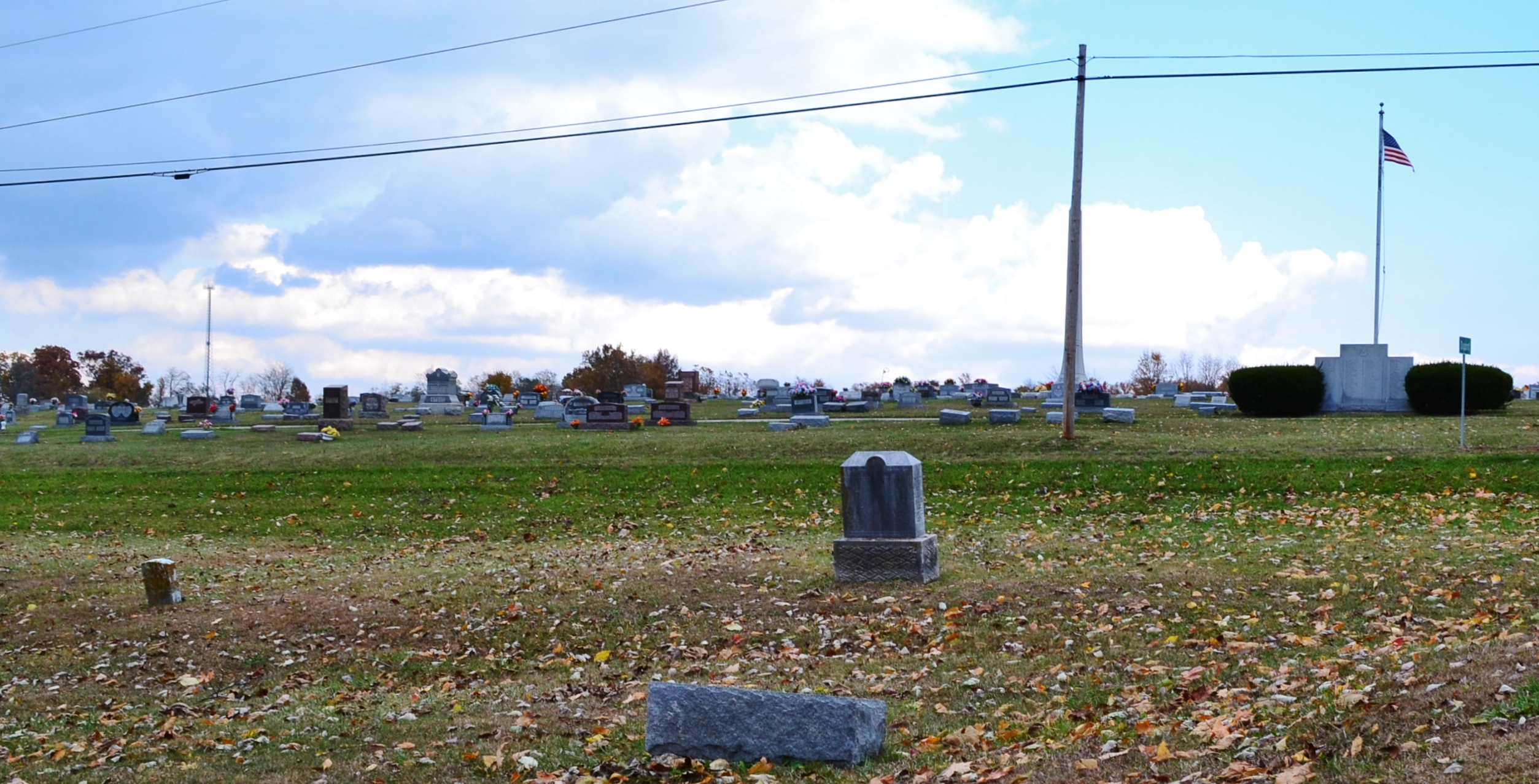
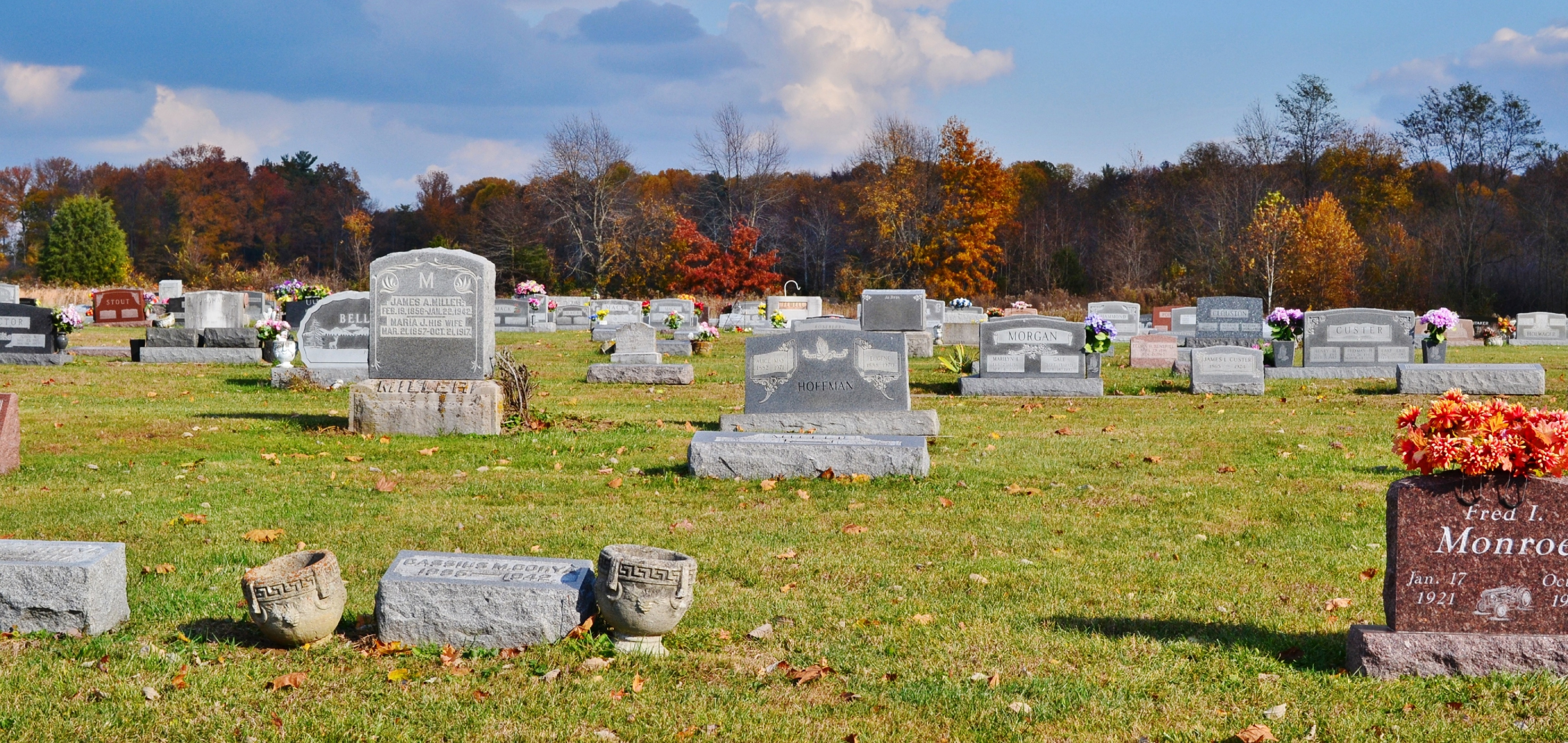
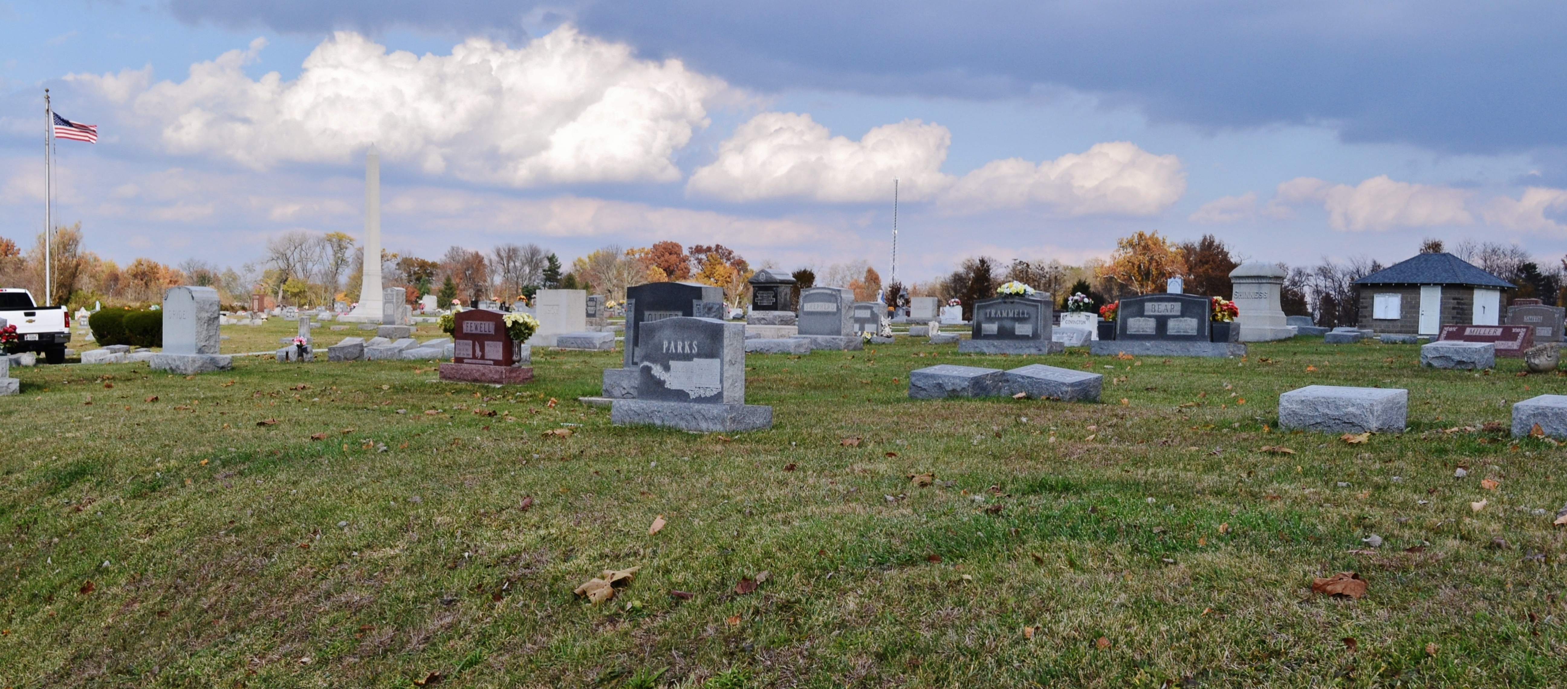
| Description | : | The cemetery is located in Lancaster Township on the east side of Indiana State Highway 7 about 0.3 miles south of its intersection with W. Main Street in Dupont. The Rockdale Cemetery is on the west side of the highway across from the Dupont Cemetery. Indiana Cemetery Locations, Volume 4, published by the Indiana Genealogical Society (April 2009), gives the primary cemetery name as Dupont Cemetery. The cemetery is listed in the Cemetery and Burial Grounds Registry of the Indiana Department of Natural Resources (DNR) and in the State Historical Architectural and Archaeological Research Database (SHAARD) with... Read More |
frequently asked questions (FAQ):
-
Where is Dupont Cemetery?
Dupont Cemetery is located at 10210 Indiana State Highway 7 Dupont, Jefferson County ,Indiana , 47231USA.
-
Dupont Cemetery cemetery's updated grave count on graveviews.com?
395 memorials
-
Where are the coordinates of the Dupont Cemetery?
Latitude: 38.8847122
Longitude: -85.5181503
Nearby Cemetories:
1. Rockdale Cemetery
Dupont, Jefferson County, USA
Coordinate: 38.8837820, -85.5191790
2. Hoyt Cemetery
Dupont, Jefferson County, USA
Coordinate: 38.8869240, -85.5183070
3. Rector Cemetery
Dupont, Jefferson County, USA
Coordinate: 38.8766930, -85.5186370
4. Methodist Graveyard
Dupont, Jefferson County, USA
Coordinate: 38.8753120, -85.5181660
5. Bland Cemetery
Dupont, Jefferson County, USA
Coordinate: 38.8722410, -85.4975150
6. Byfield Cemetery
Lancaster, Jefferson County, USA
Coordinate: 38.8504000, -85.5190000
7. Williams Farm Cemetery
Middlefork, Jefferson County, USA
Coordinate: 38.8515000, -85.4791000
8. Callicotte Cemetery
Jennings County, USA
Coordinate: 38.9303017, -85.5239029
9. Dryden Farm Cemetery
Middlefork, Jefferson County, USA
Coordinate: 38.8405000, -85.4951000
10. Bear Creek Cemetery
Jennings County, USA
Coordinate: 38.8670000, -85.5774000
11. Nelson Cemetery
Lancaster, Jefferson County, USA
Coordinate: 38.8452960, -85.5586940
12. Corya Cemetery
Dupont, Jefferson County, USA
Coordinate: 38.8401840, -85.4870680
13. Hamilton Cemetery
Jefferson County, USA
Coordinate: 38.9130880, -85.4639370
14. Lancaster Cemetery
Lancaster, Jefferson County, USA
Coordinate: 38.8334100, -85.5227900
15. College Hill Cemetery
Jefferson County, USA
Coordinate: 38.8314018, -85.5139008
16. Ogden Cemetery
Lancaster, Jefferson County, USA
Coordinate: 38.8317000, -85.5275000
17. Poor Farm Old Folks Cemetery
North Vernon, Jennings County, USA
Coordinate: 38.9233000, -85.5715000
18. Edwards Cemetery
Jennings County, USA
Coordinate: 38.9368000, -85.5473000
19. Clashman Cemetery
Jefferson County, USA
Coordinate: 38.8274994, -85.5325012
20. Craig Cemetery (Defunct)
Monroe Township, Jefferson County, USA
Coordinate: 38.8564480, -85.4525990
21. Hughes Cemetery
Bigger Township, Jennings County, USA
Coordinate: 38.9439011, -85.5141983
22. Graham Baptist Cemetery
Butlerville, Jennings County, USA
Coordinate: 38.9464770, -85.5017160
23. Phillips Graveyard
Graham Township, Jefferson County, USA
Coordinate: 38.8527660, -85.5925540
24. Hall-Walton Cemetery
Commiskey, Jennings County, USA
Coordinate: 38.8742638, -85.6023788