
| Memorials | : | 3528 |
| Location | : | Norwich, City of Norwich, England |
| Website | : | www.norwich.gov.uk/info/20203/cemeteries_and_crematorium |
| Coordinate | : | 52.6305900, 1.2677400 |
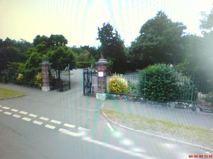
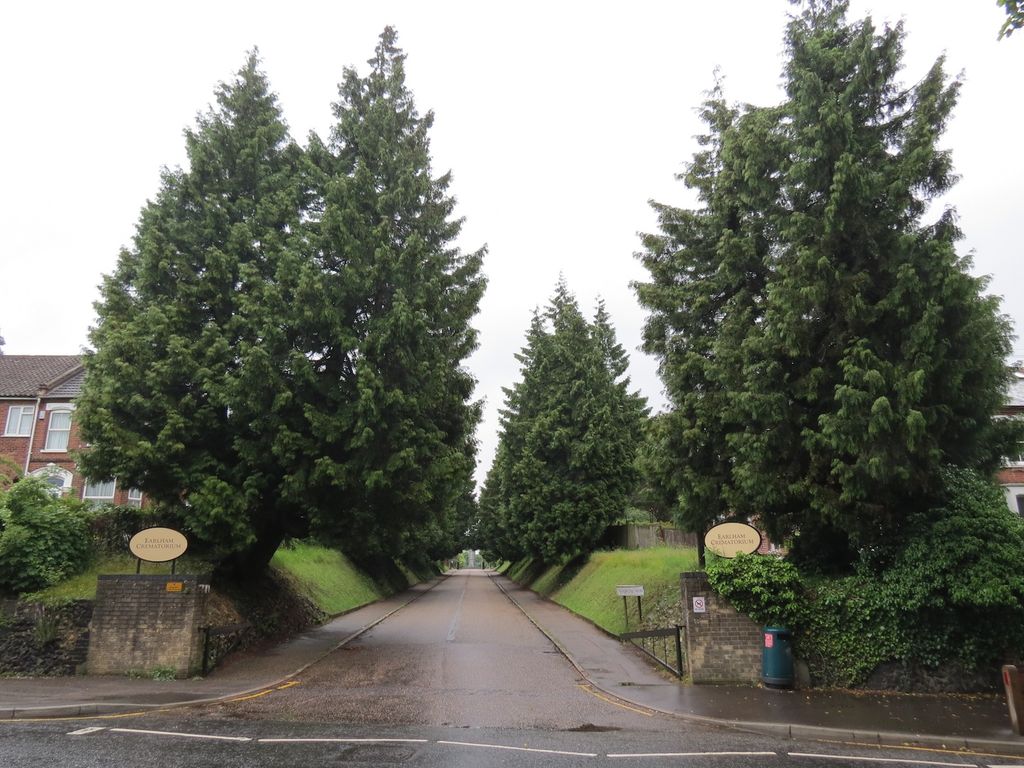
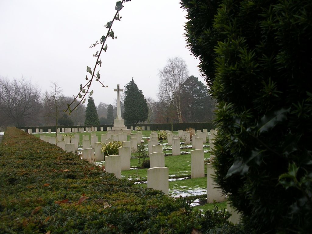
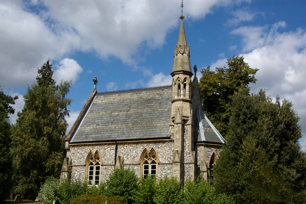
| Description | : | The cemetery was laid out in 1856 and casualties of the South African War were buried in the oldest part. Nearly half of the 1914-1918 burials are to be found in two military plots; one in the North-Eastern part and the other in the Western part of the burial ground. Ground immediately adjoining the latter was reserved for service burials of the 1939-1945 War and is now combined with it to form the 1914-1918 and 1939-1945 War Graves Plot. The Cross of Sacrifice, which honours the servicemen of both Wars who are buried in the cemetery, stands in the plot,... Read More |
frequently asked questions (FAQ):
-
Where is Earlham Road Cemetery?
Earlham Road Cemetery is located at Earlham Road Norwich, City of Norwich ,Norfolk , NR2 2RJEngland.
-
Earlham Road Cemetery cemetery's updated grave count on graveviews.com?
105 memorials
-
Where are the coordinates of the Earlham Road Cemetery?
Latitude: 52.6305900
Longitude: 1.2677400
Nearby Cemetories:
1. Cathedral of Saint John the Baptist
Norwich, City of Norwich, England
Coordinate: 52.6292000, 1.2840000
2. St. Bartholomew's Churchyard Heigham
Norwich, City of Norwich, England
Coordinate: 52.6401560, 1.2743680
3. St. Benedict's Churchyard
Norwich, City of Norwich, England
Coordinate: 52.6311700, 1.2860580
4. St Giles Churchyard
Norwich, City of Norwich, England
Coordinate: 52.6294900, 1.2871500
5. St. Swithin Churchyard
Norwich, City of Norwich, England
Coordinate: 52.6316140, 1.2877760
6. Saint Margaret's Churchyard
Norwich, City of Norwich, England
Coordinate: 52.6313370, 1.2886400
7. St. Margaret's Churchyard
Norwich, City of Norwich, England
Coordinate: 52.6312260, 1.2886730
8. St Margaret de Westwick Parish Church
Norwich, City of Norwich, England
Coordinate: 52.6313610, 1.2887497
9. St. Laurence's Churchyard
Norwich, City of Norwich, England
Coordinate: 52.6310440, 1.2901140
10. St. Martin at Oak Church
Norwich, City of Norwich, England
Coordinate: 52.6348420, 1.2901930
11. St. Gregory's Churchyard
Norwich, City of Norwich, England
Coordinate: 52.6304430, 1.2914150
12. Saint Michael Coslany Parish Churchyard
Norwich, City of Norwich, England
Coordinate: 52.6329420, 1.2914110
13. St. Michael of Closany Churchyard
Norwich, City of Norwich, England
Coordinate: 52.6329950, 1.2914510
14. St Mary Coslany Churchyard
Norwich, City of Norwich, England
Coordinate: 52.6341180, 1.2914040
15. St. John Maddermarket Church
Norwich, City of Norwich, England
Coordinate: 52.6300230, 1.2927980
16. St. Peter Mancroft Churchyard
Norwich, City of Norwich, England
Coordinate: 52.6277780, 1.2925000
17. Saint Stephens Churchyard
Norwich, City of Norwich, England
Coordinate: 52.6266260, 1.2921140
18. Quaker Burial Ground
Norwich, City of Norwich, England
Coordinate: 52.6361120, 1.2914810
19. St George Colegate Church
Norwich, City of Norwich, England
Coordinate: 52.6332060, 1.2940200
20. St. Augustine's Churchyard
Norwich, City of Norwich, England
Coordinate: 52.6371000, 1.2925960
21. St. Andrew's Churchyard
Norwich, City of Norwich, England
Coordinate: 52.6304640, 1.2953880
22. Black Friars
Norwich, City of Norwich, England
Coordinate: 52.6311800, 1.2959050
23. Old Meeting House
Norwich, City of Norwich, England
Coordinate: 52.6338830, 1.2956790
24. All Saints Churchyard
Norwich, City of Norwich, England
Coordinate: 52.6257450, 1.2952710