| Memorials | : | 2 |
| Location | : | Roane County, USA |
| Coordinate | : | 35.9910100, -84.3228900 |
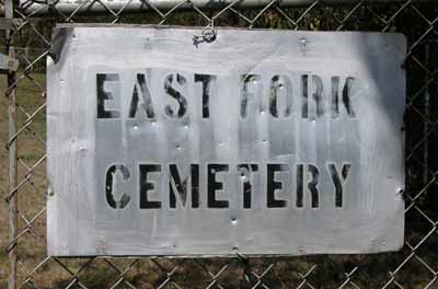
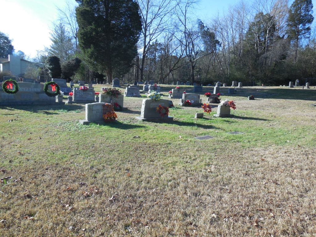
| Description | : | East Fork Baptist Church was founded in 1869 by Rev. John Seiber, an early East Tennessee Baptist preacher and missionary. He bought land for his own home, then noting there was no place of worship in the nearby community, founded the congregation which first built a log cabin structure and later a church building. This was the cemetery for that Church. East Fork refers to the East Fork of Poplar Creek that runs nearby. The church building was torn down when the city of Oak Ridge was built for the Manhattan Project around 1944 and only the cemetery remains. At... Read More |
frequently asked questions (FAQ):
-
Where is East Fork Cemetery AEC #21?
East Fork Cemetery AEC #21 is located at Roane County ,Tennessee ,USA.
-
East Fork Cemetery AEC #21 cemetery's updated grave count on graveviews.com?
2 memorials
-
Where are the coordinates of the East Fork Cemetery AEC #21?
Latitude: 35.9910100
Longitude: -84.3228900
Nearby Cemetories:
1. Langley Cemetery AEC #23
Jonesville, Roane County, USA
Coordinate: 35.9844000, -84.3244000
2. Bradley Cemetery AEC #20 (Defunct)
Roane County, USA
Coordinate: 35.9820000, -84.3297000
3. Clough-Christenberry Cemetery AEC #18
Roane County, USA
Coordinate: 35.9746400, -84.3313700
4. Lockett Cemetery
Roane County, USA
Coordinate: 35.9947014, -84.3460999
5. New Fairview Baptist Church Cemetery
Kalida, Roane County, USA
Coordinate: 36.0071440, -84.3504350
6. Gallaher Cemetery AEC #12
Roane County, USA
Coordinate: 35.9730600, -84.3516500
7. Douglas Chapel Cemetery AEC #22
Roane County, USA
Coordinate: 35.9575005, -84.3091965
8. Duggans Cemetery
Anderson County, USA
Coordinate: 36.0266991, -84.3293991
9. Copeland-Cox Cemetery AEC #17
Roane County, USA
Coordinate: 35.9492000, -84.3157300
10. Hembree Cemetery AEC #10
Roane County, USA
Coordinate: 35.9458008, -84.3488998
11. Currier Cemetery AEC #58
Roane County, USA
Coordinate: 35.9406013, -84.3371964
12. Oliver Springs Cemetery
Kelley Town, Roane County, USA
Coordinate: 36.0372009, -84.3563995
13. Liles Cemetery
Kelley Town, Roane County, USA
Coordinate: 36.0321999, -84.3668976
14. Jonesville Cemetery
Jonesville, Roane County, USA
Coordinate: 35.9827995, -84.3925018
15. Crawford Memorial Cemetery AEC #7
Roane County, USA
Coordinate: 35.9413700, -84.3649200
16. Freels and Smith Cemetery
Anderson County, USA
Coordinate: 36.0388985, -84.2746964
17. Key Cemetery AEC #36
Anderson County, USA
Coordinate: 36.0339012, -84.2658005
18. Fields Cemetery
Anderson County, USA
Coordinate: 36.0430984, -84.2786026
19. Ollis Cemetery
Blair, Roane County, USA
Coordinate: 35.9982986, -84.4005966
20. Burns Cemetery AEC #9
Roane County, USA
Coordinate: 35.9280000, -84.3389170
21. Massengil Spring Cemetery
Blair, Roane County, USA
Coordinate: 35.9991989, -84.4039001
22. George Jones Memorial Baptist Cemetery AEC 4
Roane County, USA
Coordinate: 35.9385400, -84.3726600
23. Galbreath Cemetery
Clinton, Anderson County, USA
Coordinate: 36.0438200, -84.2725200
24. Cedar Hill Missionary Baptist Church Cemetery
Anderson County, USA
Coordinate: 36.0428009, -84.2694016


