
| Memorials | : | 2 |
| Location | : | Clinton, Rock County, USA |
| Coordinate | : | 42.4953003, -88.8332977 |
frequently asked questions (FAQ):
-
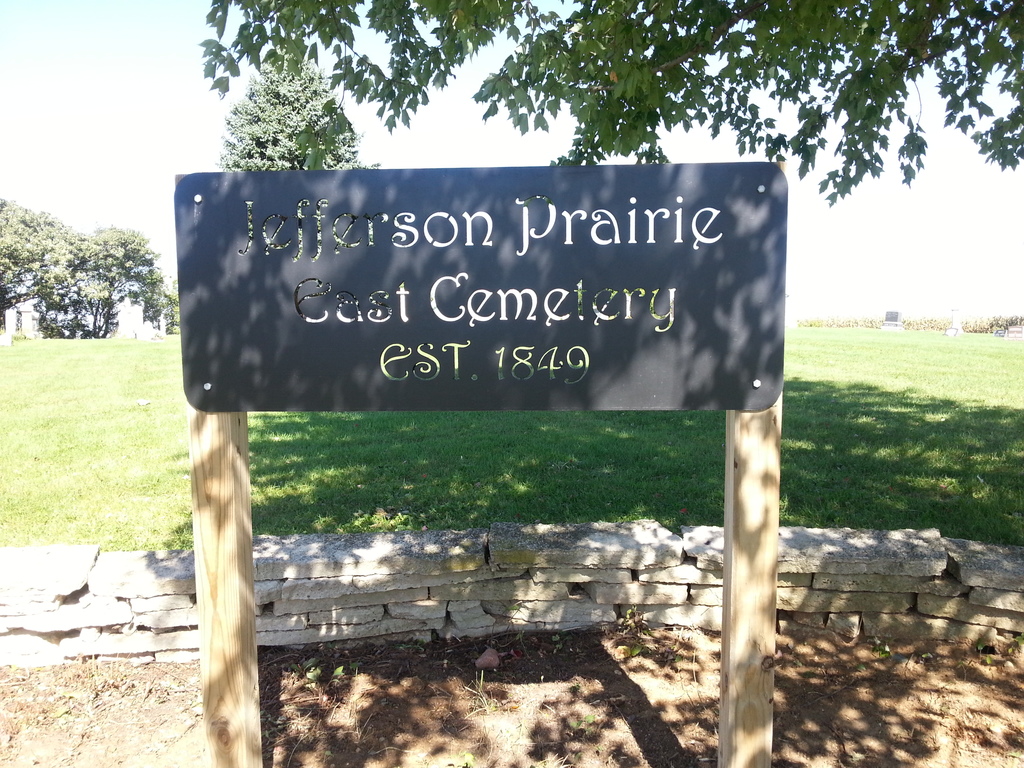
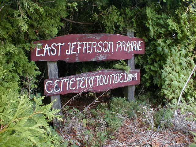
Where is East Jefferson Prairie Cemetery?
East Jefferson Prairie Cemetery is located at Clinton, Rock County ,Wisconsin ,USA.
-
East Jefferson Prairie Cemetery cemetery's updated grave count on graveviews.com?
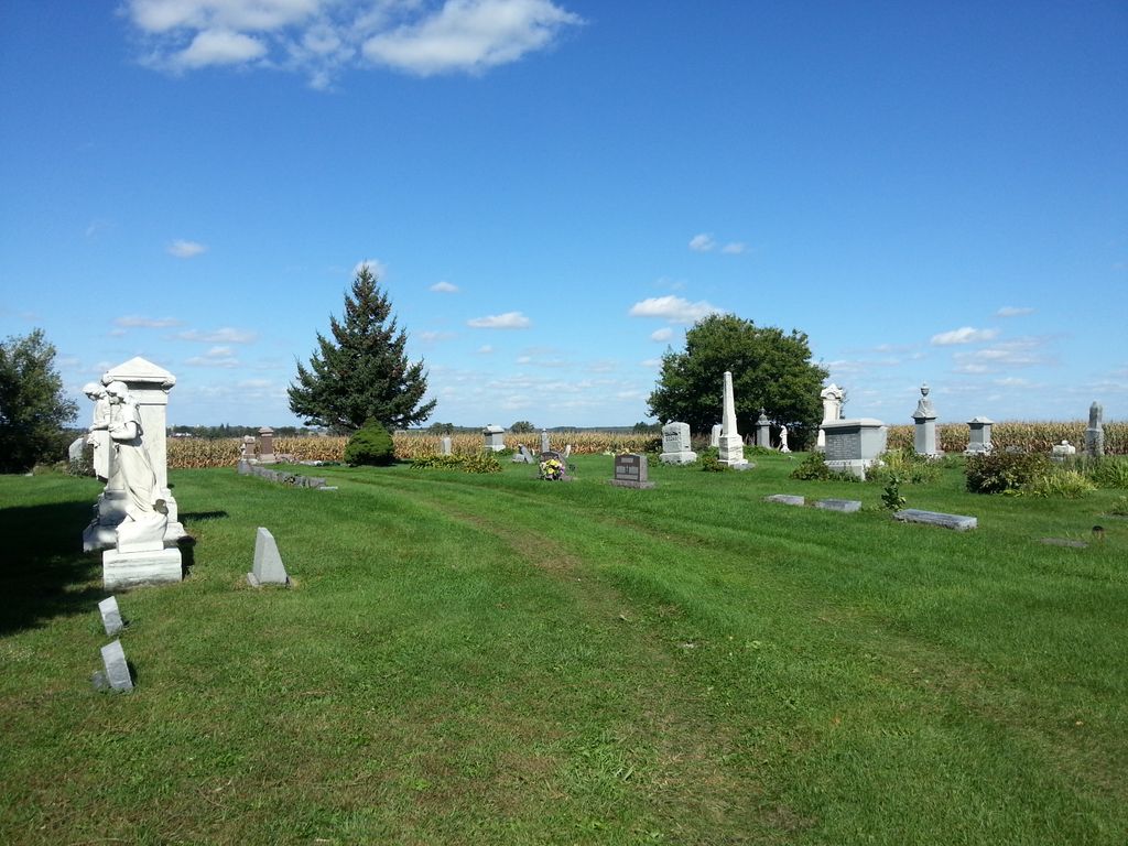
2 memorials
-
Where are the coordinates of the East Jefferson Prairie Cemetery?
Latitude: 42.4953003
Longitude: -88.8332977
Nearby Cemetories:
1. Jefferson Prairie Cemetery
Clinton, Rock County, USA
Coordinate: 42.4938000, -88.8646000
2. Stone School Cemetery
Boone County, USA
Coordinate: 42.4782982, -88.8035965
3. Oak Hill Cemetery
Boone County, USA
Coordinate: 42.4719009, -88.8897018
4. Saint Catherine Cemetery
Clinton, Rock County, USA
Coordinate: 42.5303001, -88.7866974
5. Center Cemetery
Boone County, USA
Coordinate: 42.4503784, -88.8719711
6. Blaine Cemetery
Blaine, Boone County, USA
Coordinate: 42.4472300, -88.8005300
7. Forest Hill Cemetery
Manchester Township, Boone County, USA
Coordinate: 42.4780998, -88.9180984
8. Bamblett Cemetery
Boone County, USA
Coordinate: 42.4575005, -88.9096985
9. Coynes Cemetery
Boone County, USA
Coordinate: 42.4289017, -88.7938995
10. Clinton Corners Cemetery
Clinton, Rock County, USA
Coordinate: 42.5539017, -88.8918991
11. South Grove Cemetery
Sharon, Walworth County, USA
Coordinate: 42.5331001, -88.7466965
12. Clinton Cemetery
Clinton, Rock County, USA
Coordinate: 42.5677986, -88.8589020
13. Summerville Cemetery
Clinton, Rock County, USA
Coordinate: 42.5713530, -88.8007520
14. Oakwood Cemetery
Sharon, Walworth County, USA
Coordinate: 42.5233002, -88.7313995
15. Livingston Cemetery
Boone County, USA
Coordinate: 42.4158510, -88.8801049
16. Burr Oak Cemetery
Boone County, USA
Coordinate: 42.4660400, -88.7200700
17. Mount Philip Cemetery
Clinton, Rock County, USA
Coordinate: 42.5819016, -88.7857971
18. North Sharon Cemetery
Sharon, Walworth County, USA
Coordinate: 42.5517006, -88.7268982
19. Dullam Cemetery
Capron, Boone County, USA
Coordinate: 42.4361000, -88.7253036
20. Carvers Rock Cemetery
Avalon, Rock County, USA
Coordinate: 42.6009600, -88.8285000
21. Shopiere Cemetery
Shopiere, Rock County, USA
Coordinate: 42.5675011, -88.9385986
22. Capron Cemetery
Capron, Boone County, USA
Coordinate: 42.3949190, -88.7403330
23. Valley of the Kings Sanctuary Burial Ground
Sharon, Walworth County, USA
Coordinate: 42.5296570, -88.6728190
24. Poplar Grove Cemetery
Poplar Grove, Boone County, USA
Coordinate: 42.3722000, -88.8257980