
| Memorials | : | 1 |
| Location | : | Bloomfield, Nelson County, USA |
| Coordinate | : | 37.9029630, -85.3116610 |
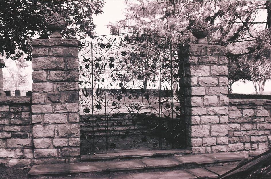
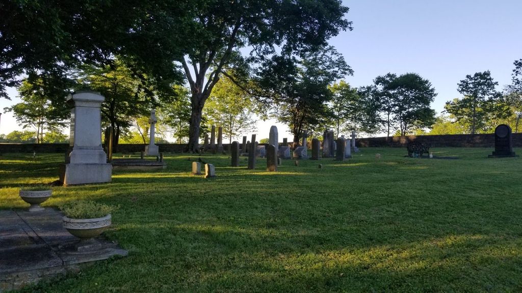
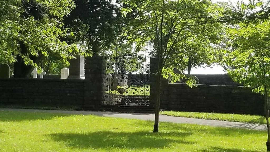
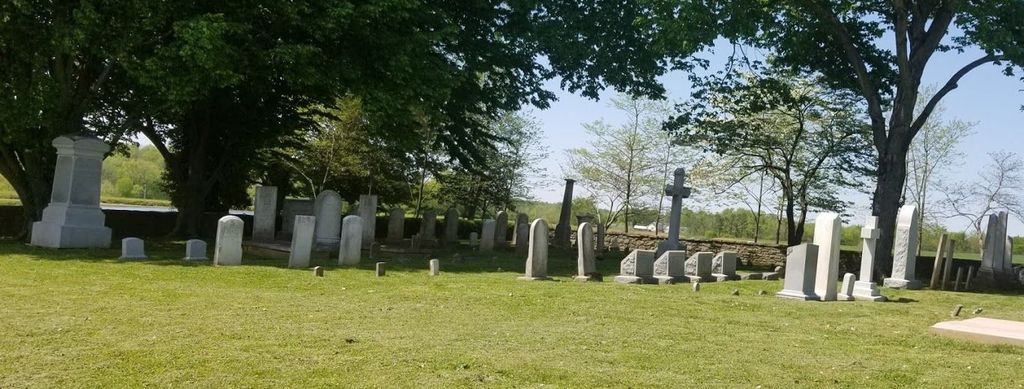
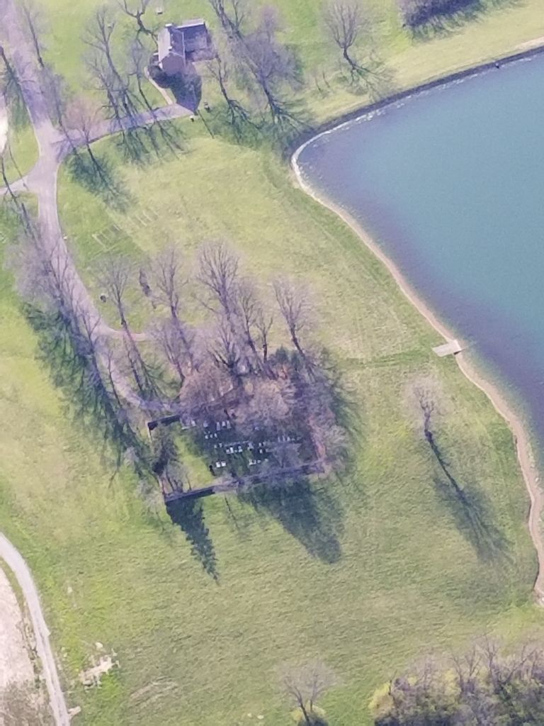
| Description | : | This beautifully maintained cemetery originally called Fairfax Cemetery, is located on the 1000+ acre Eli H. Brown farm just outside of Bloomfield Kentucky on Highway 62 (KY 55). The cemetery was established by John Stone in 1794 when his mother Rebecca Davis Stone died en route to the farm from Virginia, and he named the cemetery after her birthplace Fairfax County Virginia. According to property and U.S Census records the farm and cemetery have been in the John Stone / Eli Brown family continuously since at least 1790. The lineage of the family farm can be traced within the cemetery... Read More |
frequently asked questions (FAQ):
-
Where is Eli H Brown Farm Cemetery?
Eli H Brown Farm Cemetery is located at 730 Springfield Road Bloomfield, Nelson County ,Kentucky , 40008USA.
-
Eli H Brown Farm Cemetery cemetery's updated grave count on graveviews.com?
1 memorials
-
Where are the coordinates of the Eli H Brown Farm Cemetery?
Latitude: 37.9029630
Longitude: -85.3116610
Nearby Cemetories:
1. Leven Green Cemetery
Nelson County, USA
Coordinate: 37.8965920, -85.3083290
2. Hill Street Cemetery
Nelson County, USA
Coordinate: 37.9072579, -85.3213653
3. Bloomfield Baptist Church Cemetery
Bloomfield, Nelson County, USA
Coordinate: 37.9115120, -85.3166270
4. Old Bloomfield Cemetery
Bloomfield, Nelson County, USA
Coordinate: 37.9155260, -85.3157150
5. Maple Grove Cemetery
Bloomfield, Nelson County, USA
Coordinate: 37.9157982, -85.3153000
6. Stone Cemetery
Bloomfield, Nelson County, USA
Coordinate: 37.8828033, -85.2981339
7. Big Spring Cemetery
Bloomfield, Nelson County, USA
Coordinate: 37.9368110, -85.3072070
8. Wilkinson Cemetery
Nelson County, USA
Coordinate: 37.8782997, -85.3593979
9. Fairfield Cemetery
Fairfield, Nelson County, USA
Coordinate: 37.9263992, -85.3636017
10. Heady Family Cemetery
Nelson County, USA
Coordinate: 37.9451065, -85.2679138
11. Old Methodist Cemetery
Chaplin, Nelson County, USA
Coordinate: 37.8993020, -85.2378320
12. Harrell Cemetery
Nelson County, USA
Coordinate: 37.8454270, -85.2940960
13. Highview Cemetery
Chaplin, Nelson County, USA
Coordinate: 37.8981018, -85.2369003
14. Daniel Tichenor Cemetery
Nelson County, USA
Coordinate: 37.9169960, -85.3869340
15. Campground Church Cemetery
Woodlawn, Nelson County, USA
Coordinate: 37.8394400, -85.2903200
16. Ruble Cemetery
Nelson County, USA
Coordinate: 37.8485727, -85.3714924
17. Beam Cemetery
Bloomfield, Nelson County, USA
Coordinate: 37.8299620, -85.3083240
18. Saint Michael's Cemetery
Fairfield, Nelson County, USA
Coordinate: 37.9392014, -85.4013977
19. Foster Cemetery
Chaplin, Nelson County, USA
Coordinate: 37.9588690, -85.2374630
20. Dodson Cemetery
Nelson County, USA
Coordinate: 37.8309900, -85.3604700
21. Chaplin Fork Baptist Cemetery
Chaplin, Nelson County, USA
Coordinate: 37.9094390, -85.2018150
22. Jordan Calvert Family Cemetery
Chaplin, Nelson County, USA
Coordinate: 37.9333350, -85.1883630
23. Poplar Flats Cemetery
Nelson County, USA
Coordinate: 37.8046989, -85.3608017
24. Green's Chapel United Methodist Church Cemetery
Nelson County, USA
Coordinate: 37.9472810, -85.1834820